MyTopo
Terrapin Sand Point Maryland US Topo Map
Couldn't load pickup availability
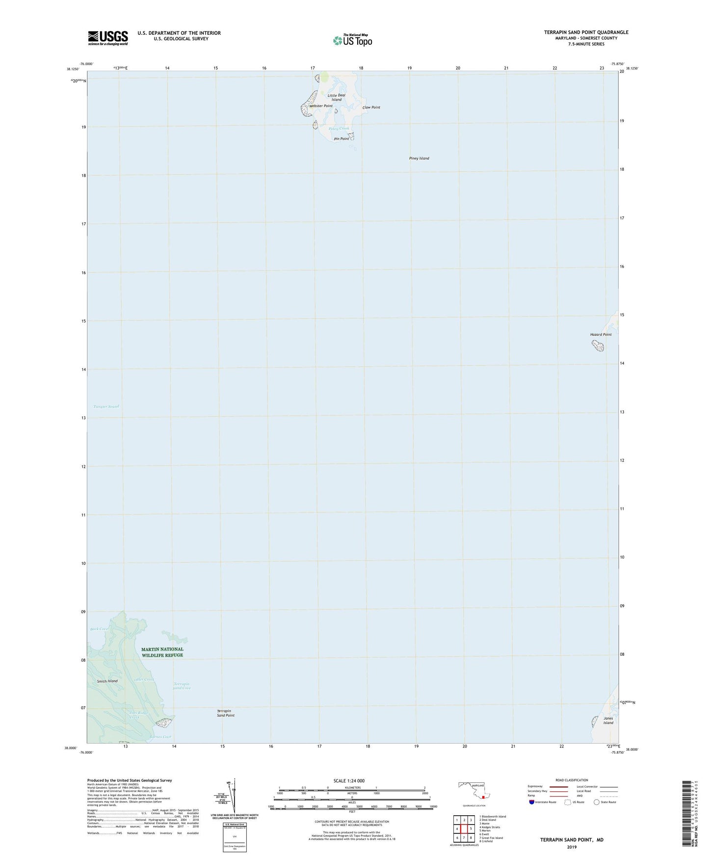
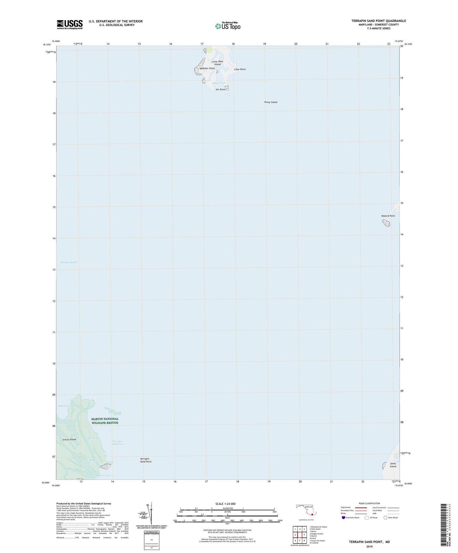
2019 topographic map quadrangle Terrapin Sand Point in the state of Maryland. Scale: 1:24000. Based on the newly updated USGS 7.5' US Topo map series, this map is in the following counties: Somerset. The map contains contour data, water features, and other items you are used to seeing on USGS maps, but also has updated roads and other features. This is the next generation of topographic maps. Printed on high-quality waterproof paper with UV fade-resistant inks.
Quads adjacent to this one:
West: Kedges Straits
Northwest: Bloodsworth Island
North: Deal Island
Northeast: Monie
East: Marion
Southeast: Crisfield
South: Great Fox Island
Southwest: Ewell
Contains the following named places: Back Cove, Barnes Cove, Barnes Landing Creek, Claw Point, Hazard Point, Little Deal Island, Manokin River, Otter Creek, Pin Point, Piney Creek, Piney Island, Pocomoke City EMS Station 100 EMS, Tangier Sound, Terrapin Sand Cove, Terrapin Sand Point, Webster Point