
MyTopo
Chandler Michigan US Topo Map
Couldn't load pickup availability
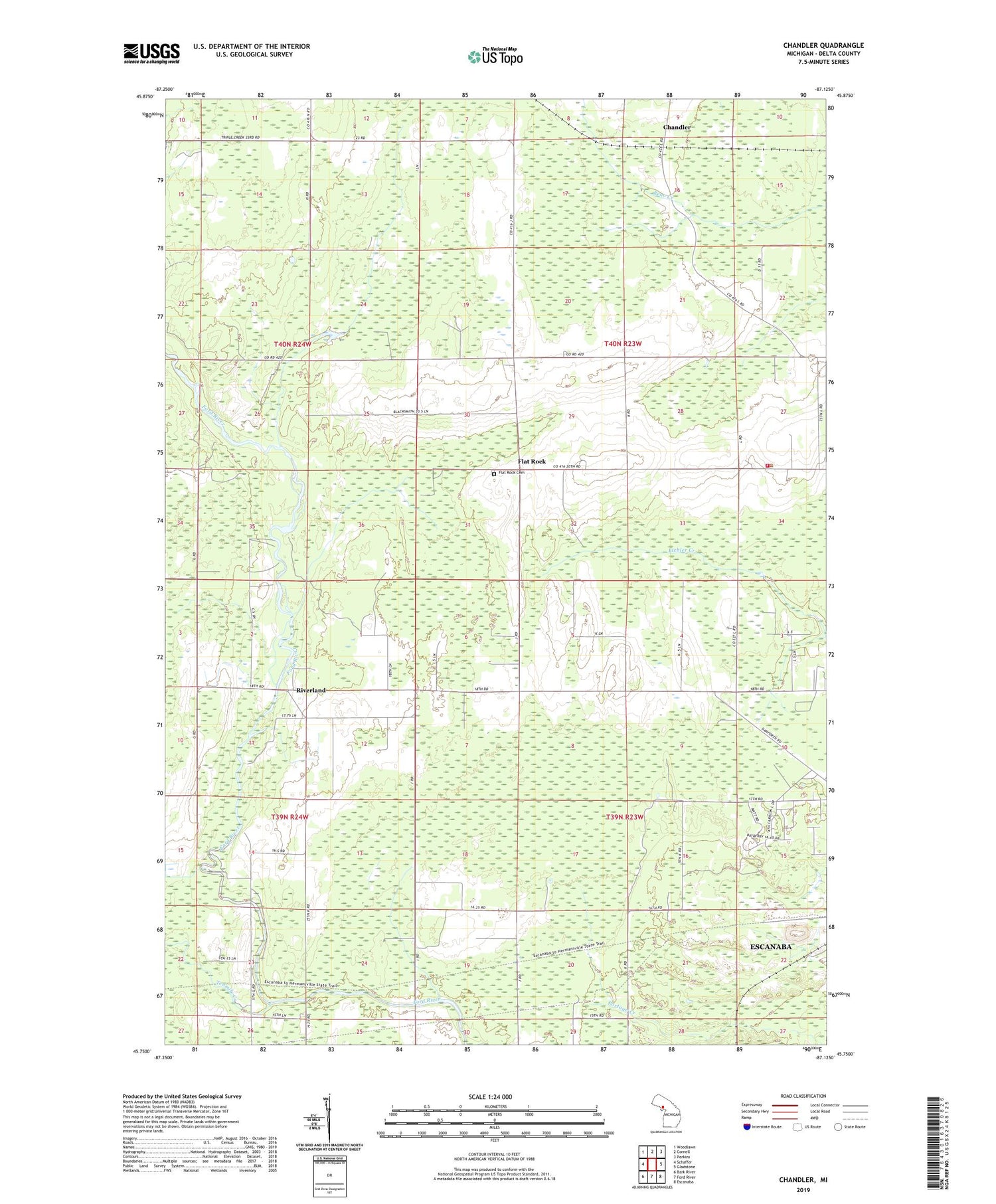
2019 topographic map quadrangle Chandler in the state of Michigan. Scale: 1:24000. Based on the newly updated USGS 7.5' US Topo map series, this map is in the following counties: Delta. The map contains contour data, water features, and other items you are used to seeing on USGS maps, but also has updated roads and other features. This is the next generation of topographic maps. Printed on high-quality waterproof paper with UV fade-resistant inks.
Quads adjacent to this one:
West: Schaffer
Northwest: Woodlawn
North: Cornell
Northeast: Perkins
East: Gladstone
Southeast: Escanaba
South: Ford River
Southwest: Bark River
Contains the following named places: Berean Baptist Church, Chandler, Escanaba Township Volunteer Fire Department, Flat Rock, Flat Rock Cemetery, Flat Rock Post Office, Holy Family Church, Moser Community Center, Newhall School, Riverland, Tenmile Creek, Township of Escanaba, Township of Wells, WCHT-AM (Escanaba), ZIP Code: 49829


