MyTopo
Drummond SE Michigan US Topo Map
Couldn't load pickup availability
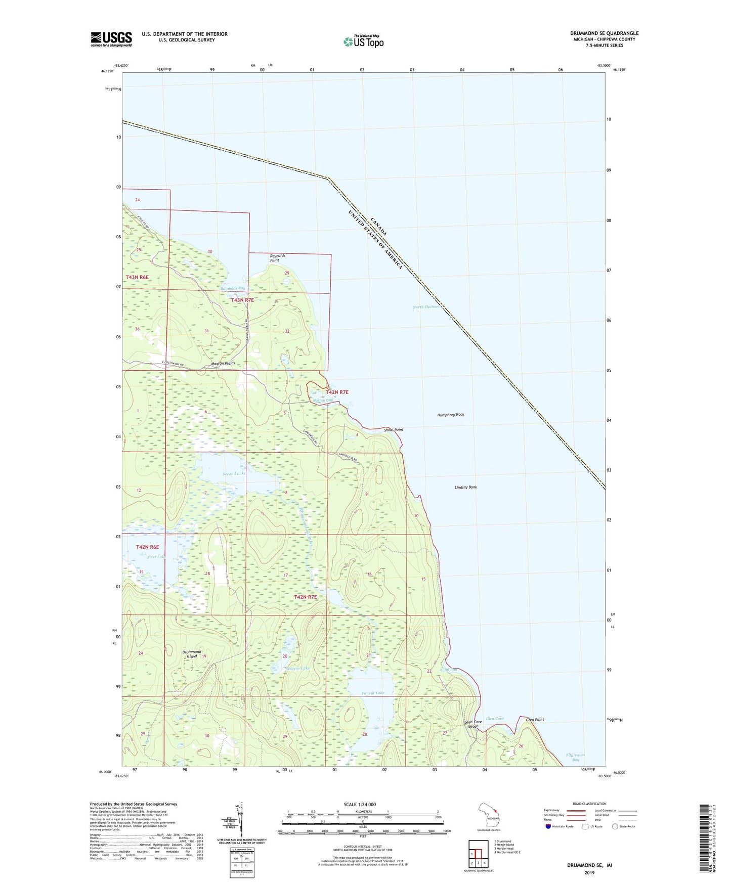
2019 topographic map quadrangle Drummond SE in the state of Michigan. Scale: 1:24000. Based on the newly updated USGS 7.5' US Topo map series, this map is in the following counties: Chippewa. The map contains contour data, water features, and other items you are used to seeing on USGS maps, but also has updated roads and other features. This is the next generation of topographic maps. Printed on high-quality waterproof paper with UV fade-resistant inks.
Quads adjacent to this one:
West: Drummond
Southeast: Marble Head OE E
South: Marble Head
Southwest: Meade Island
Contains the following named places: Colton Bay, First Lake, Fourth Lake, Glen Cove, Glen Cove Beach, Glen Point, Humphrey Rock, Lindsay Bank, North Channel, Raynolds Bay, Raynolds Point, Sand Bay, Second Lake, Shoal Point, Stevens Lake, Third Lake, ZIP Code: 49726