MyTopo
Fort Wilkins Michigan US Topo Map
Couldn't load pickup availability
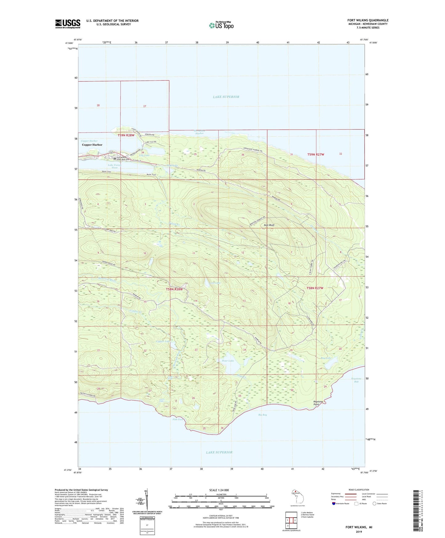
2019 topographic map quadrangle Fort Wilkins in the state of Michigan. Scale: 1:24000. Based on the newly updated USGS 7.5' US Topo map series, this map is in the following counties: Keweenaw. The map contains contour data, water features, and other items you are used to seeing on USGS maps, but also has updated roads and other features. This is the next generation of topographic maps. Printed on high-quality waterproof paper with UV fade-resistant inks.
Quads adjacent to this one:
West: Lake Medora
East: Manitou Island
Southwest: Point Isabelle
Contains the following named places: Bay Lake, Big Bay, Copper Creek, Copper Harbor, Copper Harbor Lighthouse, Copper Harbor Rear Range Lighthouse, Copper Lake, East Bluff, Fish Cove, Fort Wilkins Historical Marker, Fort Wilkins State Park, Fort Wilkins State Park Cemetery, Hoar Creek, Hoar Lake, Horseshoe Harbor, Keystone Point, Lake Fanny Hooe, Lily Lake, Lost Lake, Lower Falls, Montreal River, Mud Lake, Old Fort Wilkins, Upper Falls, Vulcan Creek, ZIP Code: 49918