MyTopo
Point Isabelle Michigan US Topo Map
Couldn't load pickup availability
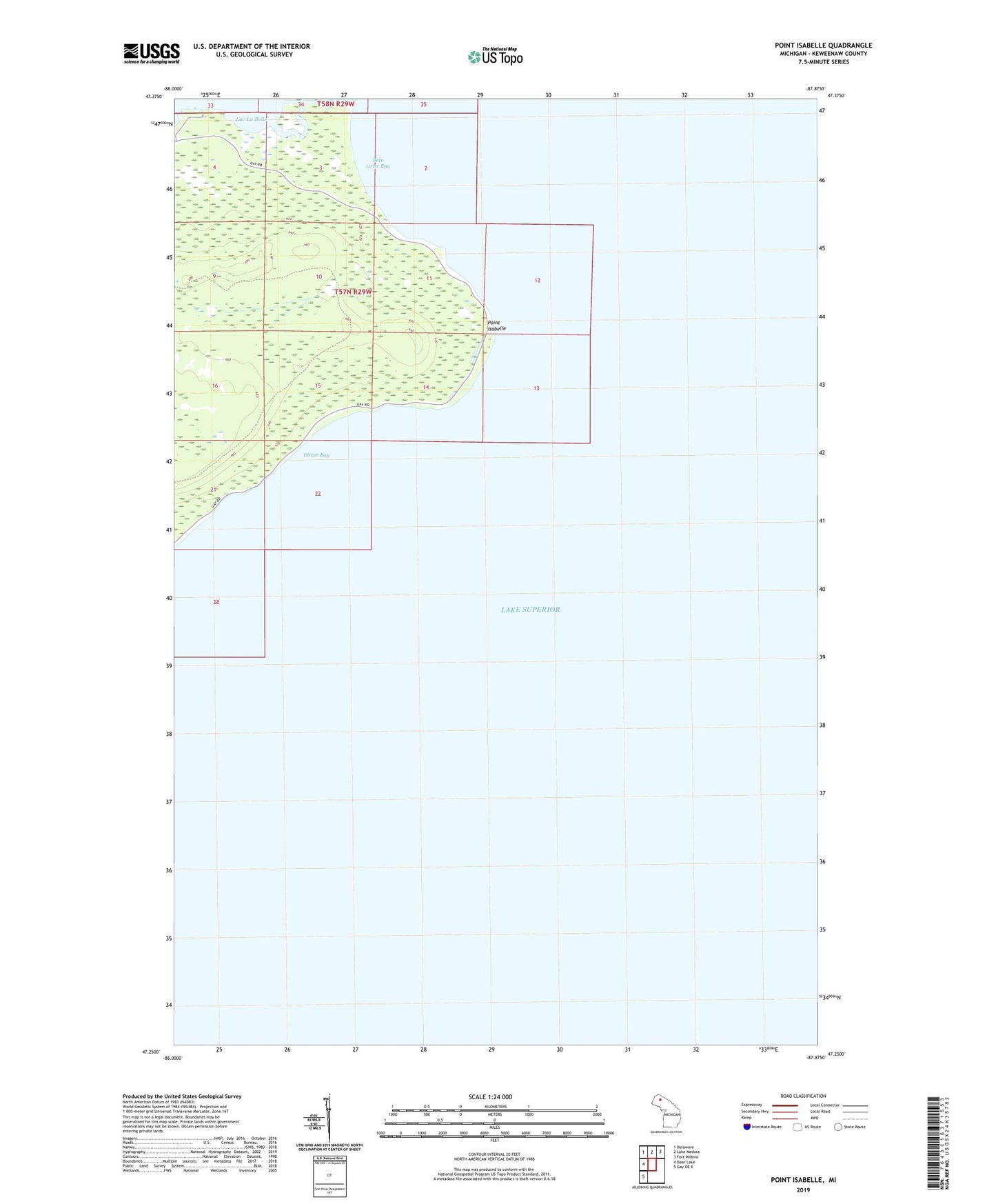
2023 topographic map quadrangle Point Isabelle in the state of Michigan. Scale: 1:24000. Based on the newly updated USGS 7.5' US Topo map series, this map is in the following counties: Keweenaw. The map contains contour data, water features, and other items you are used to seeing on USGS maps, but also has updated roads and other features. This is the next generation of topographic maps. Printed on high-quality waterproof paper with UV fade-resistant inks.
Quads adjacent to this one:
West: Deer Lake
Northwest: Delaware
North: Lake Medora
Northeast: Fort Wilkins
Southwest: Gay OE E
This map covers the same area as the classic USGS quad with code o47087c8.
Contains the following named places: Bete Grise Bay, Mendota Canal, Mendota Light House, Oliver Bay, Point Isabelle