MyTopo
Gibbs City Michigan US Topo Map
Couldn't load pickup availability
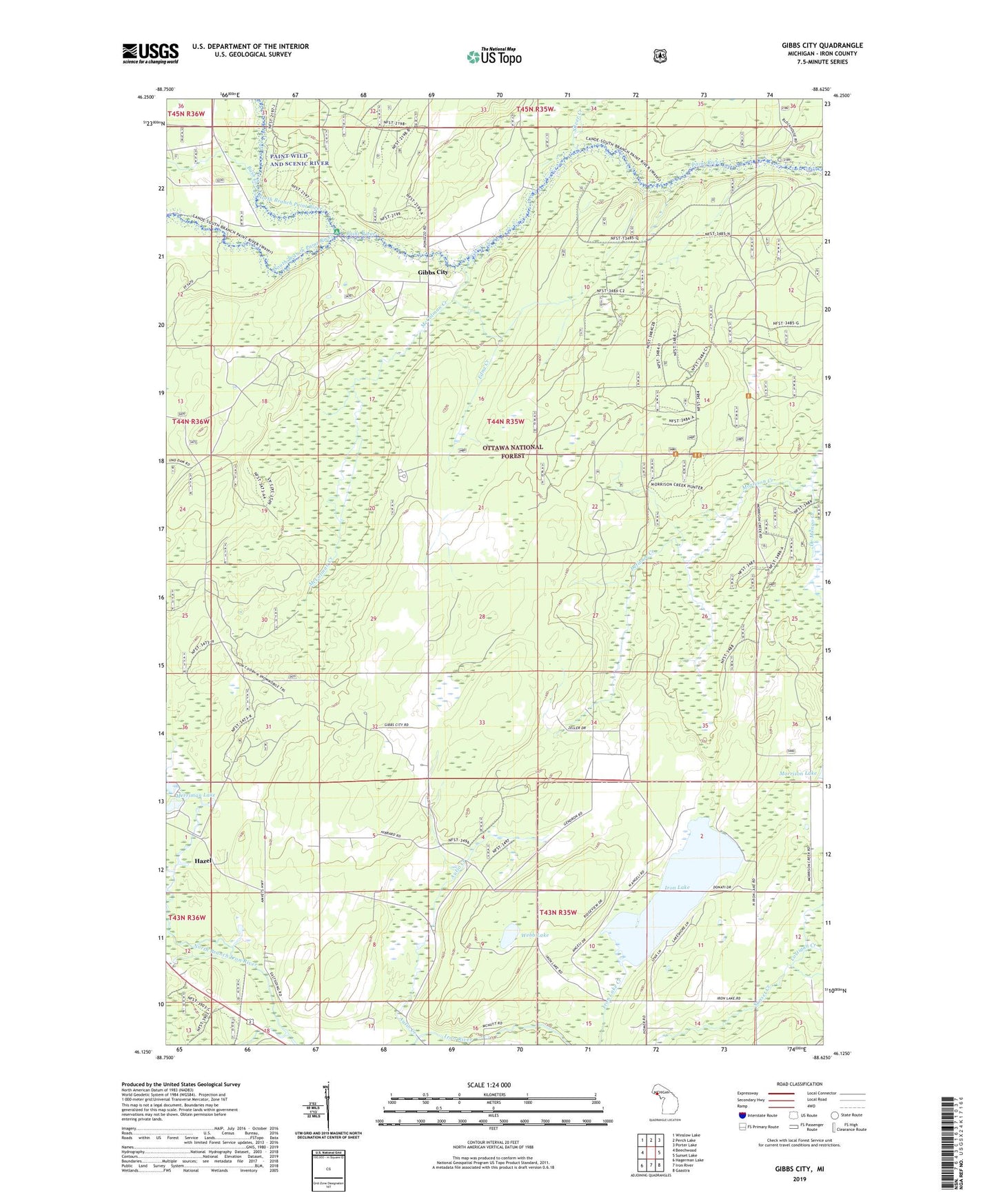
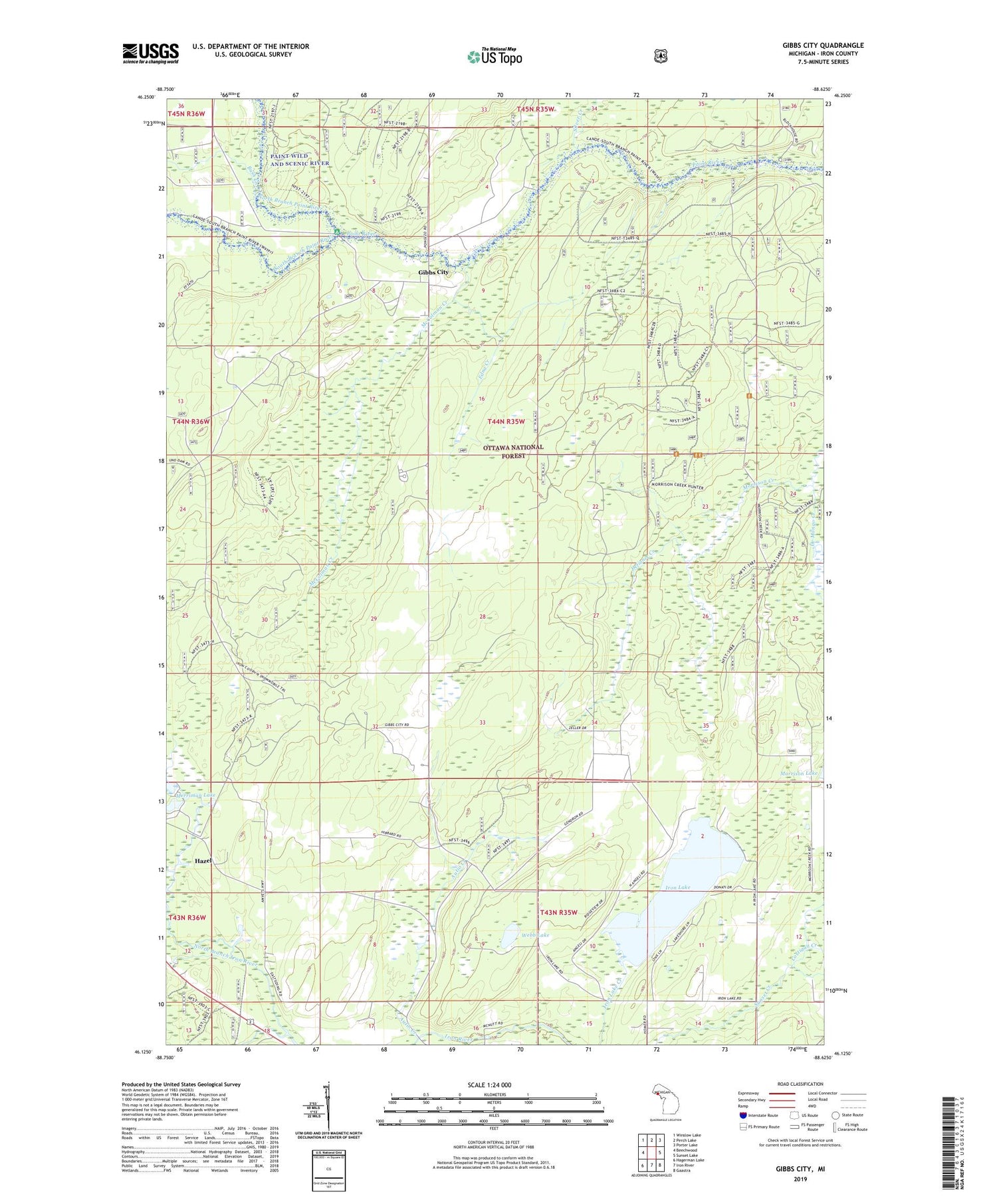
2019 topographic map quadrangle Gibbs City in the state of Michigan. Scale: 1:24000. Based on the newly updated USGS 7.5' US Topo map series, this map is in the following counties: Iron. The map contains contour data, water features, and other items you are used to seeing on USGS maps, but also has updated roads and other features. This is the next generation of topographic maps. Printed on high-quality waterproof paper with UV fade-resistant inks.
Quads adjacent to this one:
West: Beechwood
Northwest: Winslow Lake
North: Perch Lake
Northeast: Porter Lake
East: Sunset Lake
Southeast: Gaastra
South: Iron River
Southwest: Hagerman Lake
Contains the following named places: Autio Creek, Black House Campground, Bush Creek, Camp Gibbs, Camp Gibbs Recreation Area, Costigan Creek, De Mongo Creek, Defiance Creek, Edna Creek, Finnish Lutheran Church, Gibbs City, Gibbs City Post Office, Gibbs Lookout, Hazel, Hazel Station, Iron Lake, McColman Creek, Merriman Lake, North Branch Iron River, North Branch Paint River, Old Atkinson Dam Site, Paint River Forks Campground, Silver Creek, South Branch Iron River, South Branch Paint River, Webb Lake, Wild River Motel and RV Park