MyTopo
Grosse Pointe OE E Michigan US Topo Map
Couldn't load pickup availability
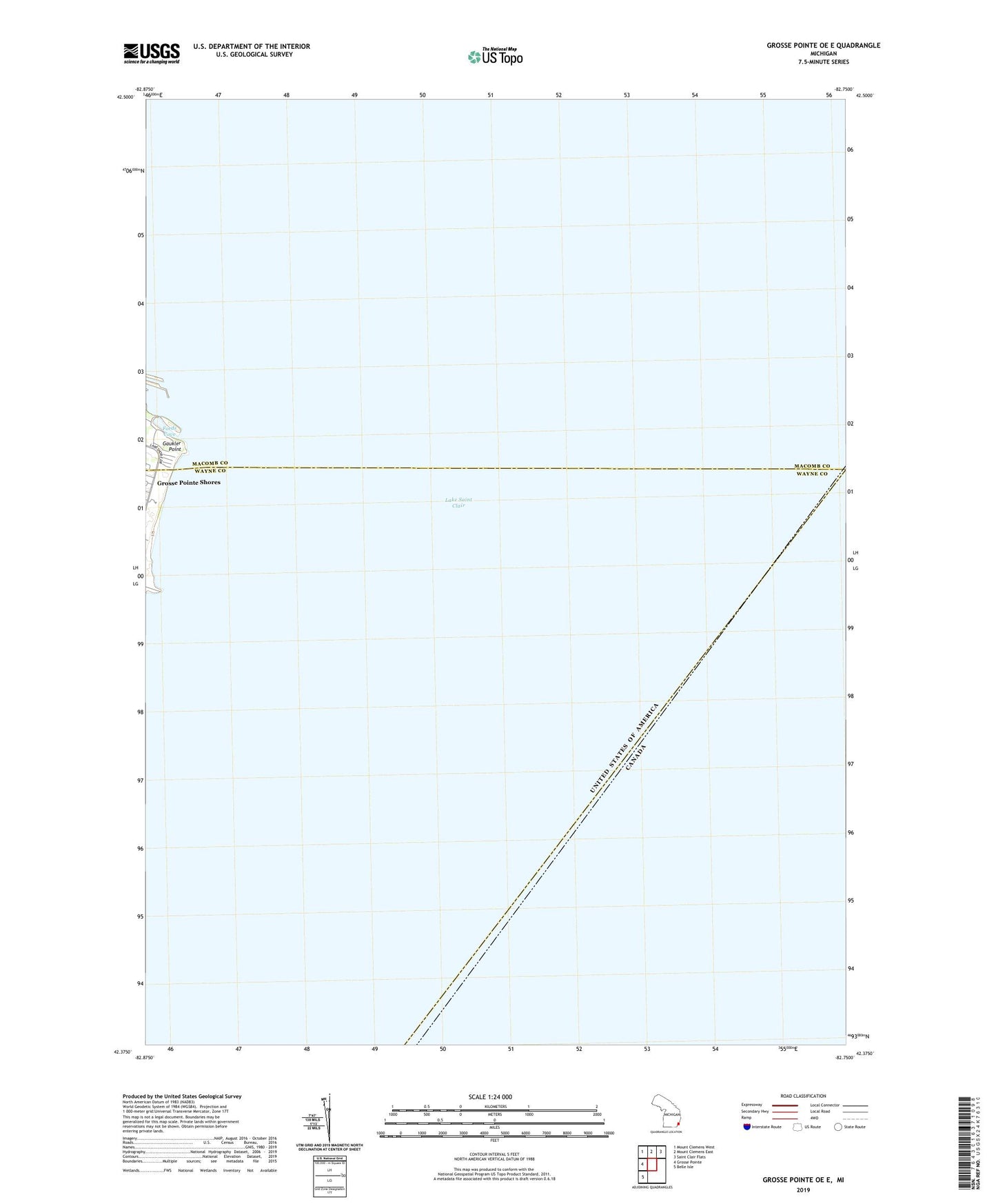
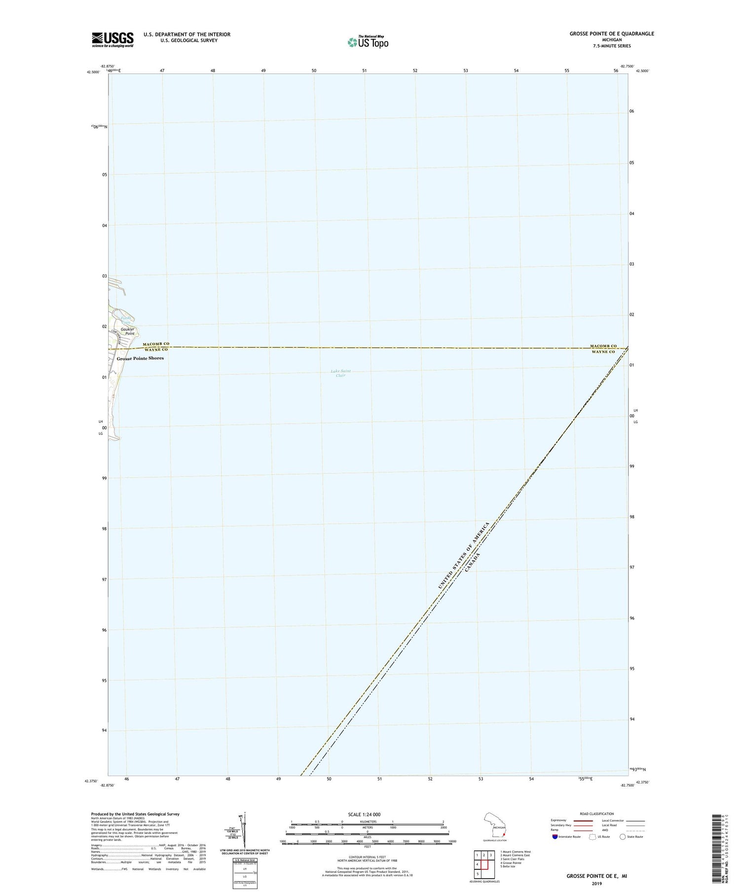
2019 topographic map quadrangle Grosse Pointe OE E in the state of Michigan. Scale: 1:24000. Based on the newly updated USGS 7.5' US Topo map series, this map is in the following counties: Wayne, Macomb. The map contains contour data, water features, and other items you are used to seeing on USGS maps, but also has updated roads and other features. This is the next generation of topographic maps. Printed on high-quality waterproof paper with UV fade-resistant inks.
Quads adjacent to this one:
West: Grosse Pointe
Northwest: Mount Clemens West
North: Mount Clemens East
Northeast: Saint Clair Flats
Southwest: Belle Isle
Contains the following named places: Chapaton Drain, City of Grosse Pointe Farms, City of the Village of Grosse Pointe Shores, Edsel and Eleanor Ford House Historical Marker, Edsel and Eleanor Ford House Museum, Fords Cove, Gaukler Point, Grosse Pointe Yacht Club, Township of Grosse Pointe, Township of Lake, W C Miller Memorial Light