MyTopo
Hamilton East Michigan US Topo Map
Couldn't load pickup availability
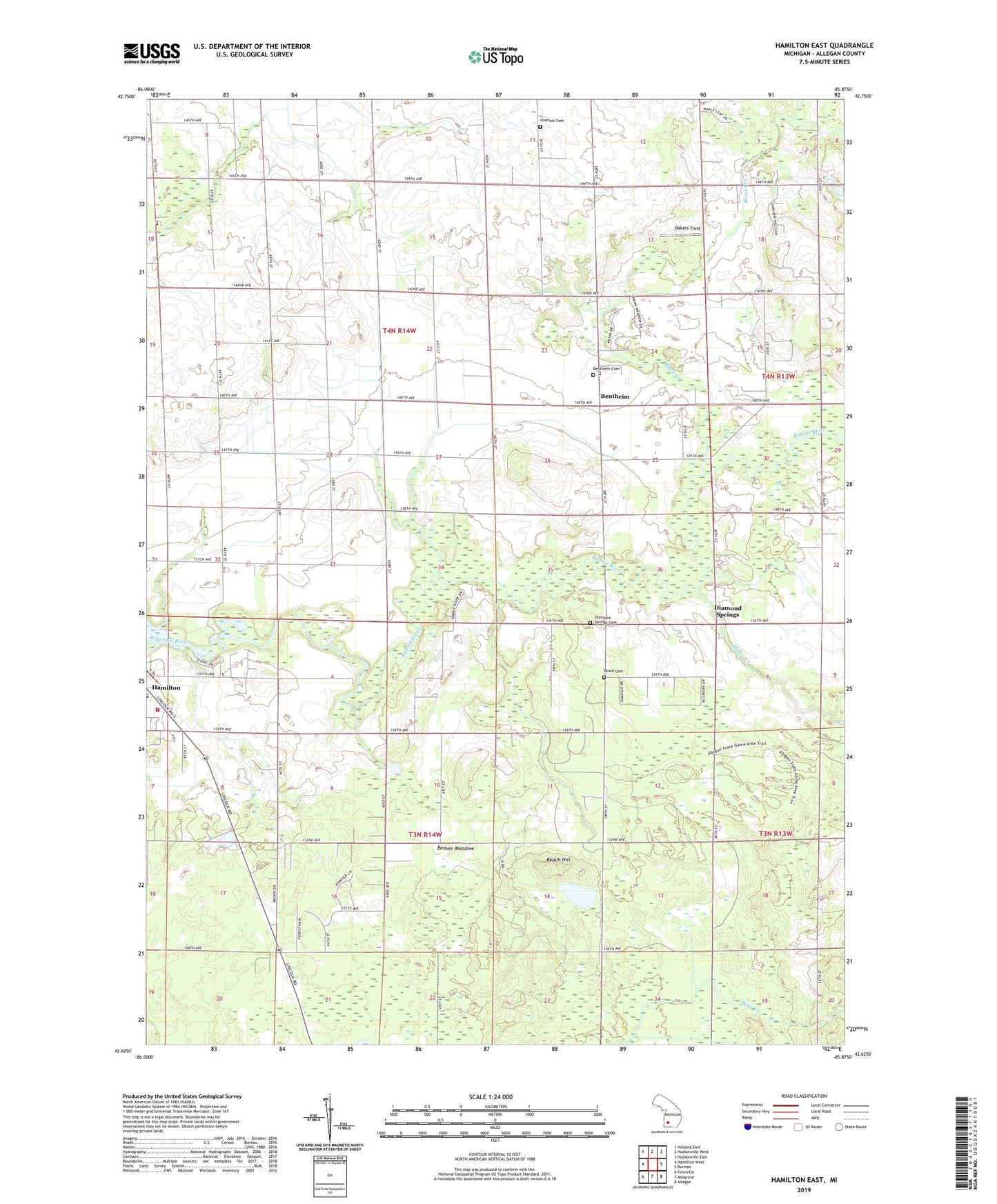
2019 topographic map quadrangle Hamilton East in the state of Michigan. Scale: 1:24000. Based on the newly updated USGS 7.5' US Topo map series, this map is in the following counties: Allegan. The map contains contour data, water features, and other items you are used to seeing on USGS maps, but also has updated roads and other features. This is the next generation of topographic maps. Printed on high-quality waterproof paper with UV fade-resistant inks.
Quads adjacent to this one:
West: Hamilton West
Northwest: Holland East
North: Hudsonville West
Northeast: Hudsonville East
East: Burnips
Southeast: Allegan
South: Millgrove
Southwest: Fennville
Contains the following named places: Bakers Field, Beach Hill, Beaver Meadow, Bentheim, Bentheim Cemetery, Bentheim Chapel, Bentheim Elementary School, Bentheim Post Office, Bentheim Reformed Church, Black Creek, Brookside School, Busscher Landing Strip, Diamond Springs, Diamond Springs Cemetery, Diamond Springs Golf Course, Diamond Springs Post Office, Diamond Springs Wesleyan Church, Dowd Cemetery, Goose Lake, Hamilton Fire Department, Hamilton Landing Strip, High Point School, Maple Grove School, Miller Creek, Oakland, Oakland Christian Reformed Church, Oakland Christian Reformed Church Historical Marker, Oakview School, Overisel Cemetery, Overisel School, Pershing School, Sandy View School, School Number 3, Shady Acres Mobile Home Park, Silver Creek Camp, Silver Creek County Park, Township of Heath, Township of Overisel, ZIP Code: 49419