MyTopo
Hog Island West Michigan US Topo Map
Couldn't load pickup availability
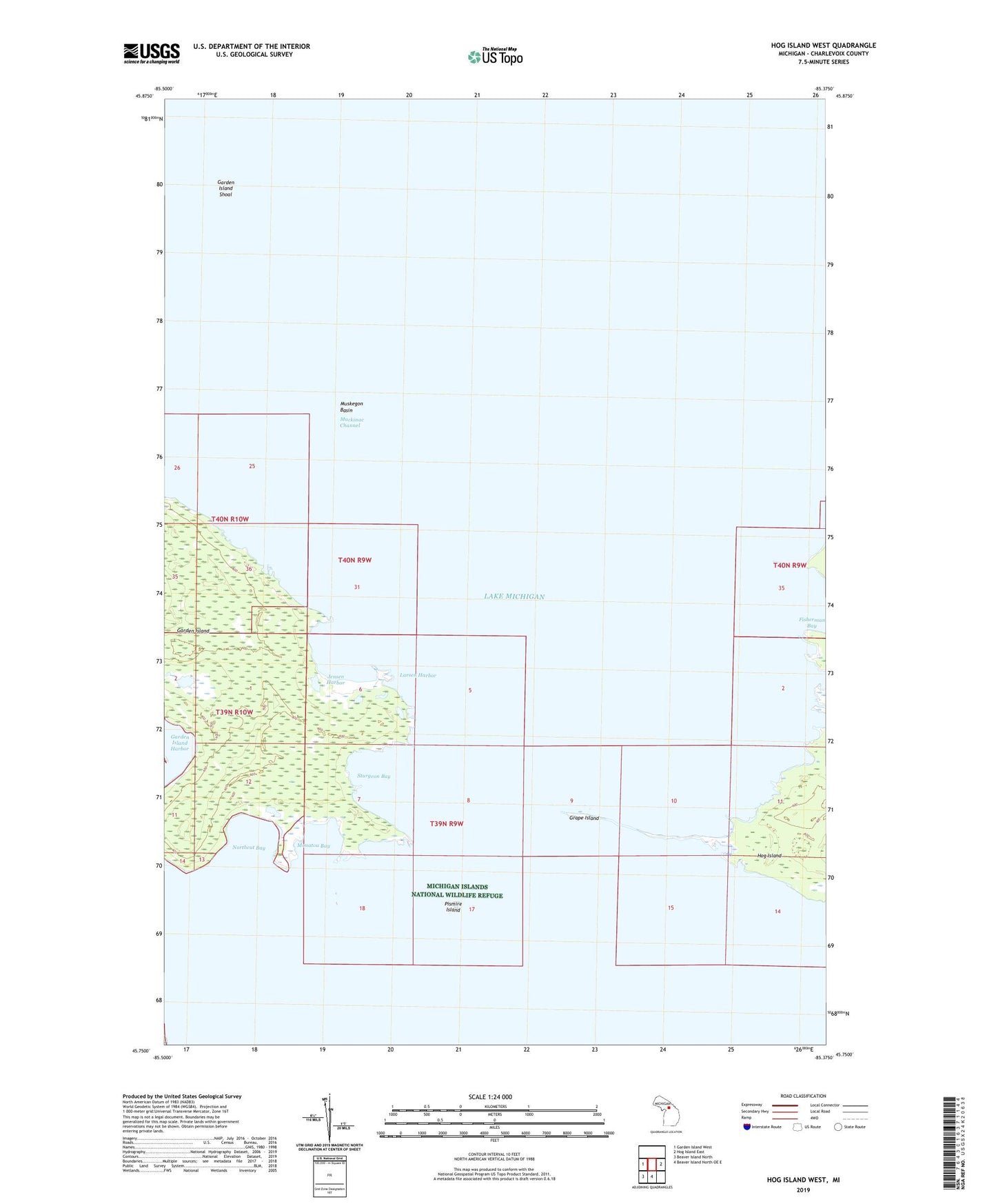
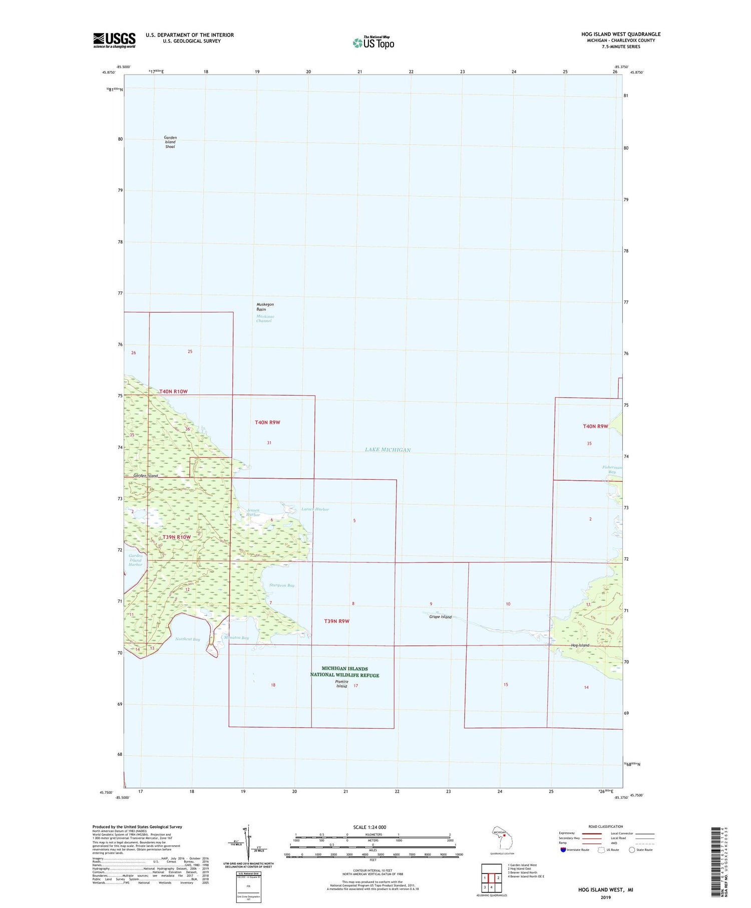
2019 topographic map quadrangle Hog Island West in the state of Michigan. Scale: 1:24000. Based on the newly updated USGS 7.5' US Topo map series, this map is in the following counties: Charlevoix. The map contains contour data, water features, and other items you are used to seeing on USGS maps, but also has updated roads and other features. This is the next generation of topographic maps. Printed on high-quality waterproof paper with UV fade-resistant inks.
Quads adjacent to this one:
West: Garden Island West
East: Hog Island East
South: Beaver Island North OE E
Southwest: Beaver Island North
Contains the following named places: Baltimore Bay, Garden Island, Garden Island Shoal, Grape Island, Jensen Harbor, Larsen Harbor, Mackinac Channel, Monatou Bay, Northcut Bay, Pismire Island, Sturgeon Bay