MyTopo
Ives Hill Michigan US Topo Map
Couldn't load pickup availability
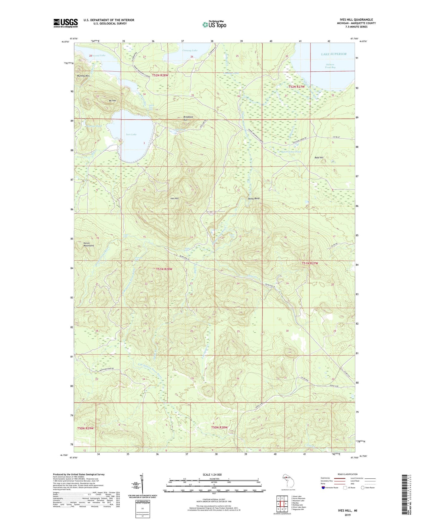
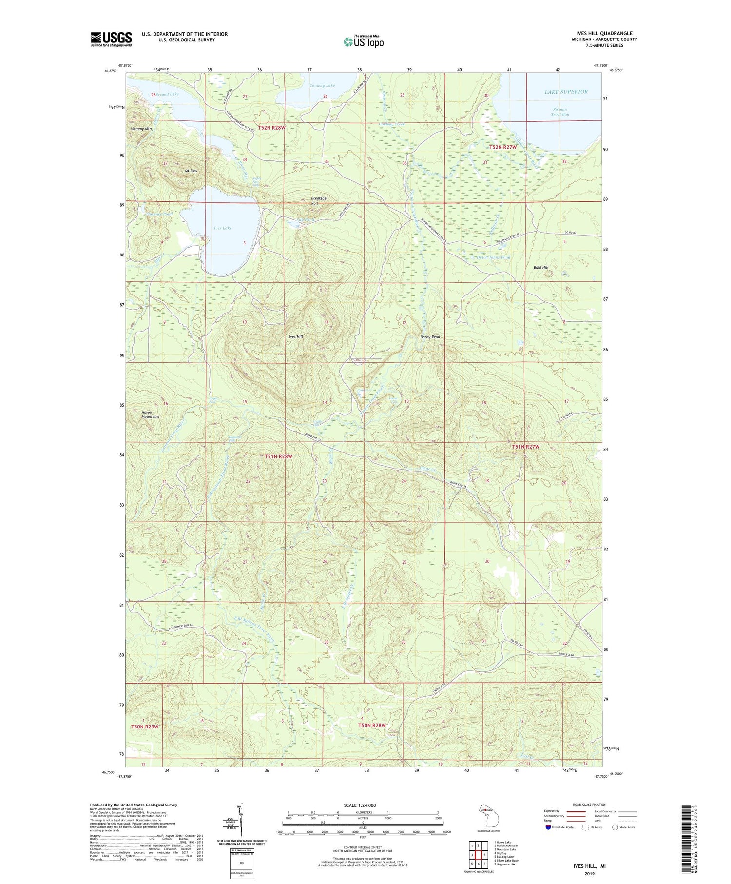
2019 topographic map quadrangle Ives Hill in the state of Michigan. Scale: 1:24000. Based on the newly updated USGS 7.5' US Topo map series, this map is in the following counties: Marquette. The map contains contour data, water features, and other items you are used to seeing on USGS maps, but also has updated roads and other features. This is the next generation of topographic maps. Printed on high-quality waterproof paper with UV fade-resistant inks.
Quads adjacent to this one:
West: Mountain Lake
Northwest: Howe Lake
North: Huron Mountain
East: Big Bay
Southeast: Negaunee NW
South: Silver Lake Basin
Southwest: Bulldog Lake
Contains the following named places: Bald Hill, Breakfast Roll, Burnt Dam, Clear Creek, Conway Creek, Darby Bend, Dodge City, Dutch Johns Pond, East Branch Salmon Trout River, East Branch Snake Creek, Eighty Foot Falls, Elm Creek, Fisher Creek, Florence Pond, Gillet Landing, Hogback Falls, Huron Mountains, Ives Hill, Ives Lake, Lily Pond, Lower Dam, Lower Falls, Middle Falls, Mount Ives, River Styx, Salmon Trout Bay, Salmon Trout River, Second Lake, Snake Creek, Spring Creek, Sullivan Creek, Third Lake, Township of Powell, Upper Falls, ZIP Code: 49808