MyTopo
Howe Lake Michigan US Topo Map
Couldn't load pickup availability
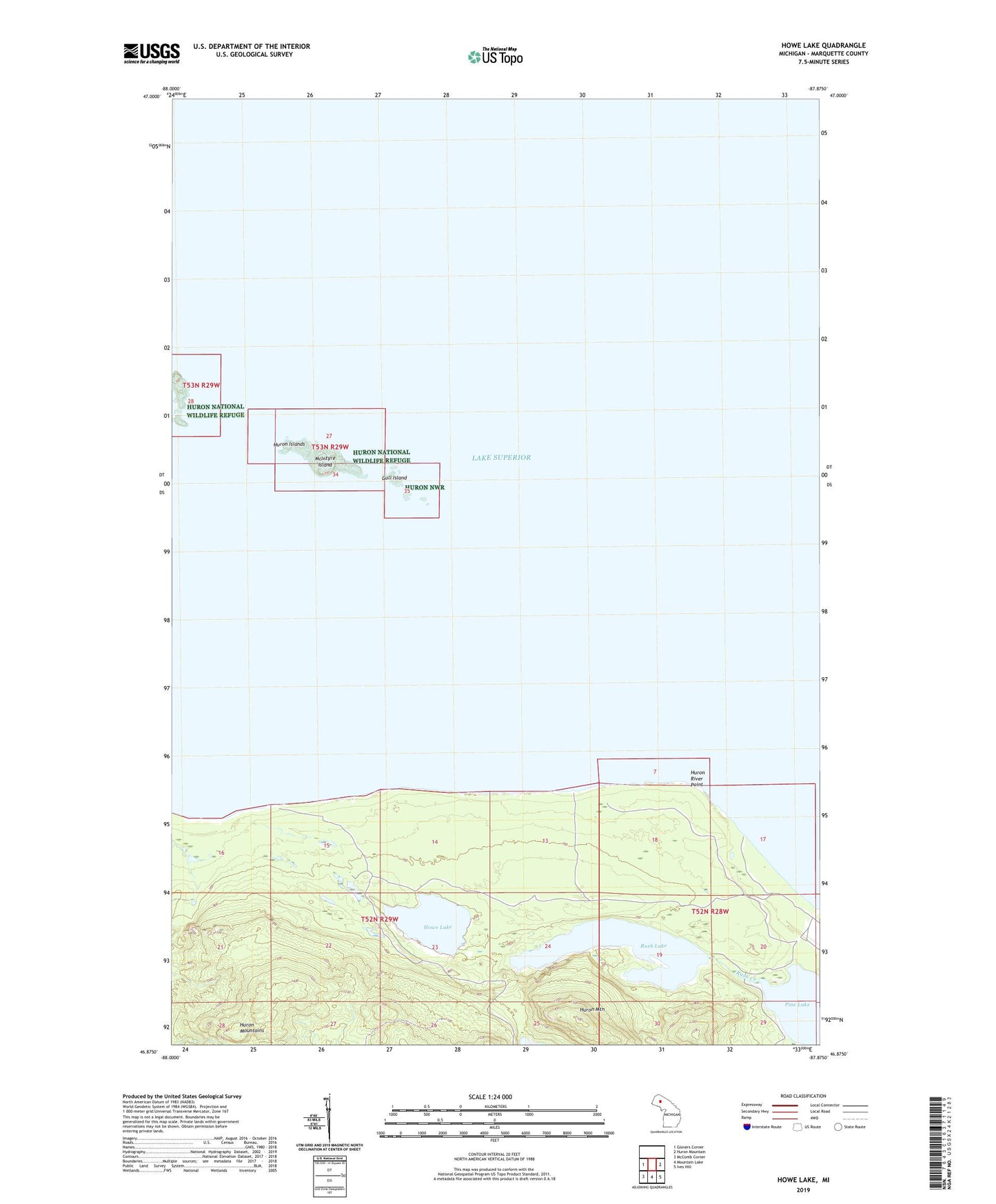
2023 topographic map quadrangle Howe Lake in the state of Michigan. Scale: 1:24000. Based on the newly updated USGS 7.5' US Topo map series, this map is in the following counties: Marquette. The map contains contour data, water features, and other items you are used to seeing on USGS maps, but also has updated roads and other features. This is the next generation of topographic maps. Printed on high-quality waterproof paper with UV fade-resistant inks.
Quads adjacent to this one:
West: Glovers Corner
East: Huron Mountain
Southeast: Ives Hill
South: Mountain Lake
Southwest: McComb Corner
This map covers the same area as the classic USGS quad with code o46087h8.
Contains the following named places: Gull Island, Howe Lake, Huron Islands, Huron Islands Wilderness, Huron Mountain, Huron National Wildlife Refuge, Huron River Point, Lighthouse Island, McIntyre Island, Pine Lake, Rush Creek, Rush Lake