MyTopo
Michillinda Michigan US Topo Map
Couldn't load pickup availability
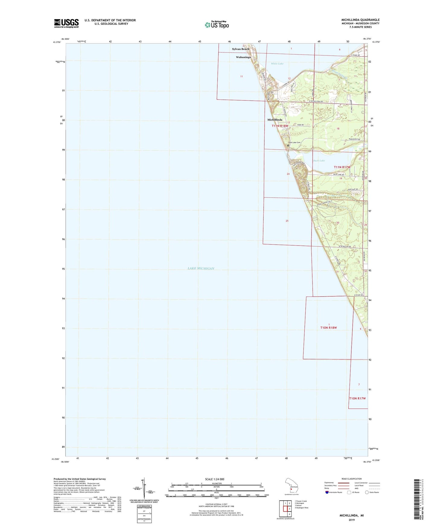
2023 topographic map quadrangle Michillinda in the state of Michigan. Scale: 1:24000. Based on the newly updated USGS 7.5' US Topo map series, this map is in the following counties: Muskegon. The map contains contour data, water features, and other items you are used to seeing on USGS maps, but also has updated roads and other features. This is the next generation of topographic maps. Printed on high-quality waterproof paper with UV fade-resistant inks.
Quads adjacent to this one:
North: Flower Creek
Northeast: Montague
East: Dalton
Southeast: Muskegon West
This map covers the same area as the classic USGS quad with code o43086c4.
Contains the following named places: Birch Brook, Conklin School, Duck Creek, Duck Lake, Duck Lake Cemetery, Duck Lake State Park, Fruitland District Number Six School Historical Marker, Michillinda, Michillinda Post Office, Muskrat Lake, Strawberry Creek, Sylvan Beach, Wabaningo, Wabaningo Post Office, White River Light Station Museum, Whitelake School