MyTopo
North Manitou Island Michigan US Topo Map
Couldn't load pickup availability
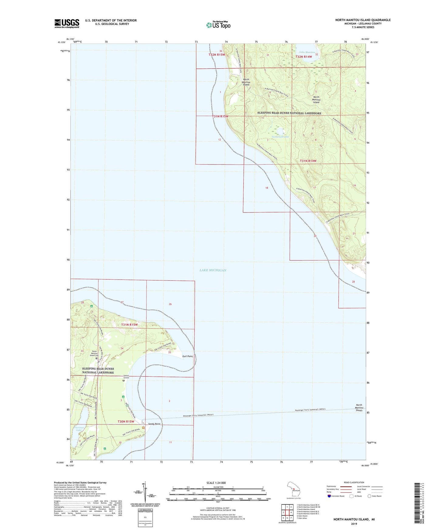
2023 topographic map quadrangle North Manitou Island in the state of Michigan. Scale: 1:24000. Based on the newly updated USGS 7.5' US Topo map series, this map is in the following counties: Leelanau. The map contains contour data, water features, and other items you are used to seeing on USGS maps, but also has updated roads and other features. This is the next generation of topographic maps. Printed on high-quality waterproof paper with UV fade-resistant inks.
Quads adjacent to this one:
West: South Manitou Island
North: North Manitou Island OE N
Northeast: North Manitou Island OE NE
East: North Manitou Island OE E
Southeast: Glen Arbor
South: Glen Haven
Southwest: South Manitou Island OE S
This map covers the same area as the classic USGS quad with code o45085a8.
Contains the following named places: Bay Campground, Donner Point, Florence Lake, Gull Point, North Manitou Island, North Manitou Shoals, Sailors Graves, Sandy Point, Sleeping Bear Dunes National Lakeshore, South Manitou Island Cemetery, South Manitou Island Light, South Manitou Island School, Tamarack Lake, Weather Station Campground