MyTopo
Oak Ridge OE E Michigan US Topo Map
Couldn't load pickup availability
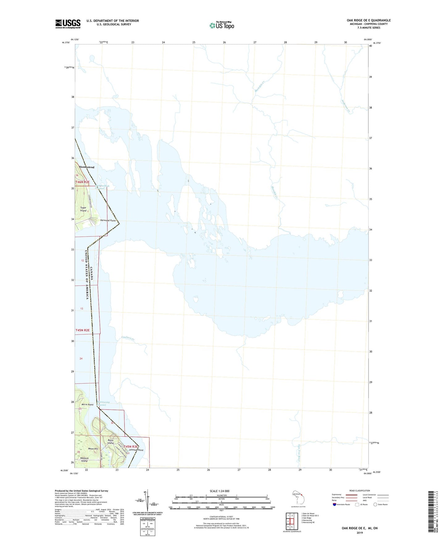
2019 topographic map quadrangle Oak Ridge OE E in the state of Michigan. Scale: 1:24000. Based on the newly updated USGS 7.5' US Topo map series, this map is in the following counties: Chippewa. The map contains contour data, water features, and other items you are used to seeing on USGS maps, but also has updated roads and other features. This is the next generation of topographic maps. Printed on high-quality waterproof paper with UV fade-resistant inks.
Quads adjacent to this one:
West: Oak Ridge
Northwest: Baie de Wasai
North: Baie de Wasai OE E
South: Munuscong NE
Southwest: Munuscong
Contains the following named places: Dark Hole Ranges, Gil Nelsons Resort Ramp, Harwood Point, Harwood Point Range, Homestead, Homestead Post Office, Johnson Point, Mirre Point, Moon Hill, Munuscong Channel, Neebish Post Office, Point of Woods Range, Rains Island