MyTopo
Ovid East Michigan US Topo Map
Couldn't load pickup availability
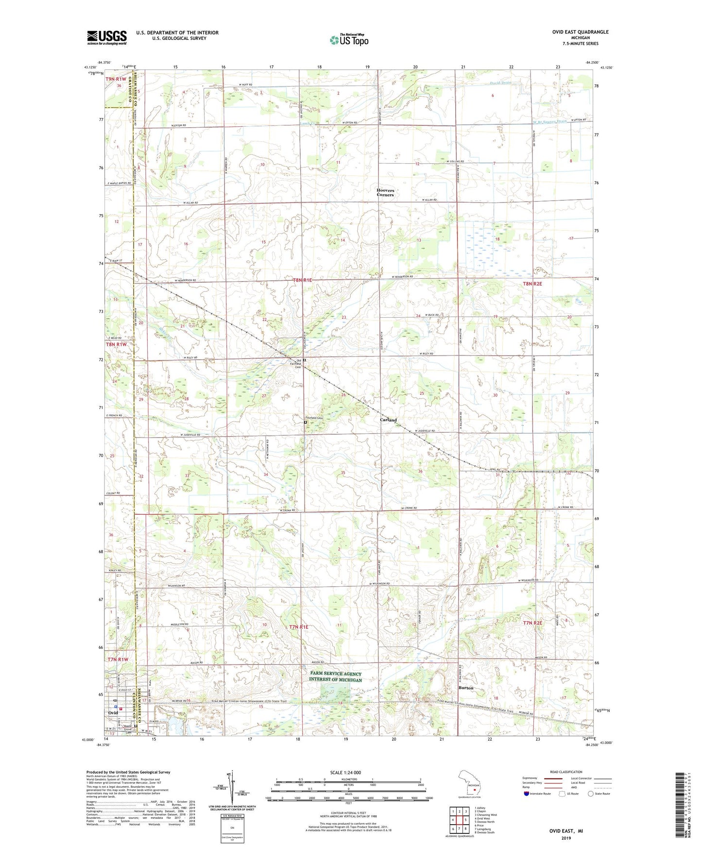
2019 topographic map quadrangle Ovid East in the state of Michigan. Scale: 1:24000. Based on the newly updated USGS 7.5' US Topo map series, this map is in the following counties: Shiawassee, Clinton, Gratiot. The map contains contour data, water features, and other items you are used to seeing on USGS maps, but also has updated roads and other features. This is the next generation of topographic maps. Printed on high-quality waterproof paper with UV fade-resistant inks.
Quads adjacent to this one:
West: Ovid West
Northwest: Ashley
North: Chapin
Northeast: Chesaning West
East: Owosso North
Southeast: Owosso South
South: Laingsburg
Southwest: Price
Contains the following named places: Bower Farm, Brethren in Christ Church, Burton, Burton Post Office, Burton Station, Carland, Carland Post Office, Carland Station, Church of the Living Word, City of Ovid, David Drain, Fairfield Cemetery, First Baptist Church of God, First Congregational Church of Ovid Historical Marker, George D. Sowers House Historical Marker, Green Meadow Farms, Gumaer Memorial Park, Holy Family Catholic Church, Hoovers Corners, Jan's Second Lake Campground, Latz Farm, Leonard Elementary School, Long's Dairy Farm, Maple Grove Cemetery, Old Fairfield Cemetery, Ovid, Ovid - Middlebury Fire and Emergency Services Authority, Ovid Main Street Clinic, Ovid Police Department, Ovid Post Office, Ovid Public Library, Ovid Station, Owosso Speedway, Township of Fairfield, United Church of Ovid, Van Berhoof Farm, Village of Ovid Historical Marker, William's Farms, Ziola Farms, ZIP Code: 48831