MyTopo
Sage Lake Michigan US Topo Map
Couldn't load pickup availability
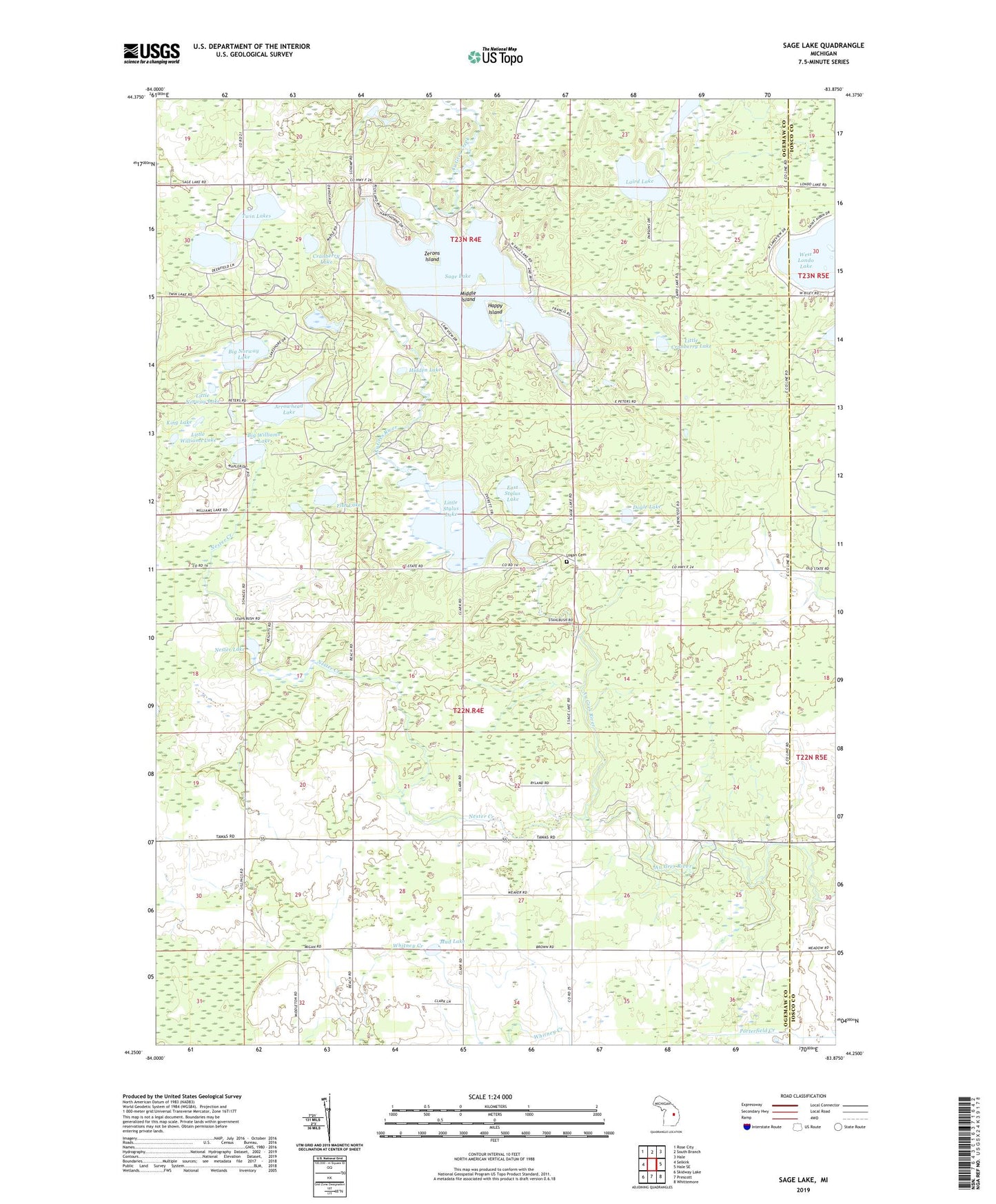
2019 topographic map quadrangle Sage Lake in the state of Michigan. Scale: 1:24000. Based on the newly updated USGS 7.5' US Topo map series, this map is in the following counties: Ogemaw, Iosco. The map contains contour data, water features, and other items you are used to seeing on USGS maps, but also has updated roads and other features. This is the next generation of topographic maps. Printed on high-quality waterproof paper with UV fade-resistant inks.
Quads adjacent to this one:
West: Selkirk
Northwest: Rose City
North: South Branch
Northeast: Hale
East: Hale SE
Southeast: Whittemore
South: Prescott
Southwest: Skidway Lake
Contains the following named places: Arrowhead Lake, Au Gres Creek, Big Norway Lake, Big Williams Lake, Chief Okemus Camp, Cranberry Lake, Doyle Lake, East Stylus Lake, Edgewood Greens Golf Course, Fish Lake, Greenbriar Golf Course, Happy Island, Hidden Lake, Jenkins Lake, King Lake, Laird Lake, Little Cranberry Lake, Little Norway Lake, Little Stylus Lake, Little Williams Lake, Logan Cemetery, Logan Church, Logan Corners, Logan Gas Field, Lost Valley Campgrounds, Middle Island, Mud Lake, Nester Creek, Nester Lake, Nester Post Office, Prescott Church, Sage Lake, Stylus Lake, Township of Logan, Twin Lakes, West Londo Lake, Zerons Island, Zion Church