MyTopo
Stewart Lake Michigan US Topo Map
Couldn't load pickup availability
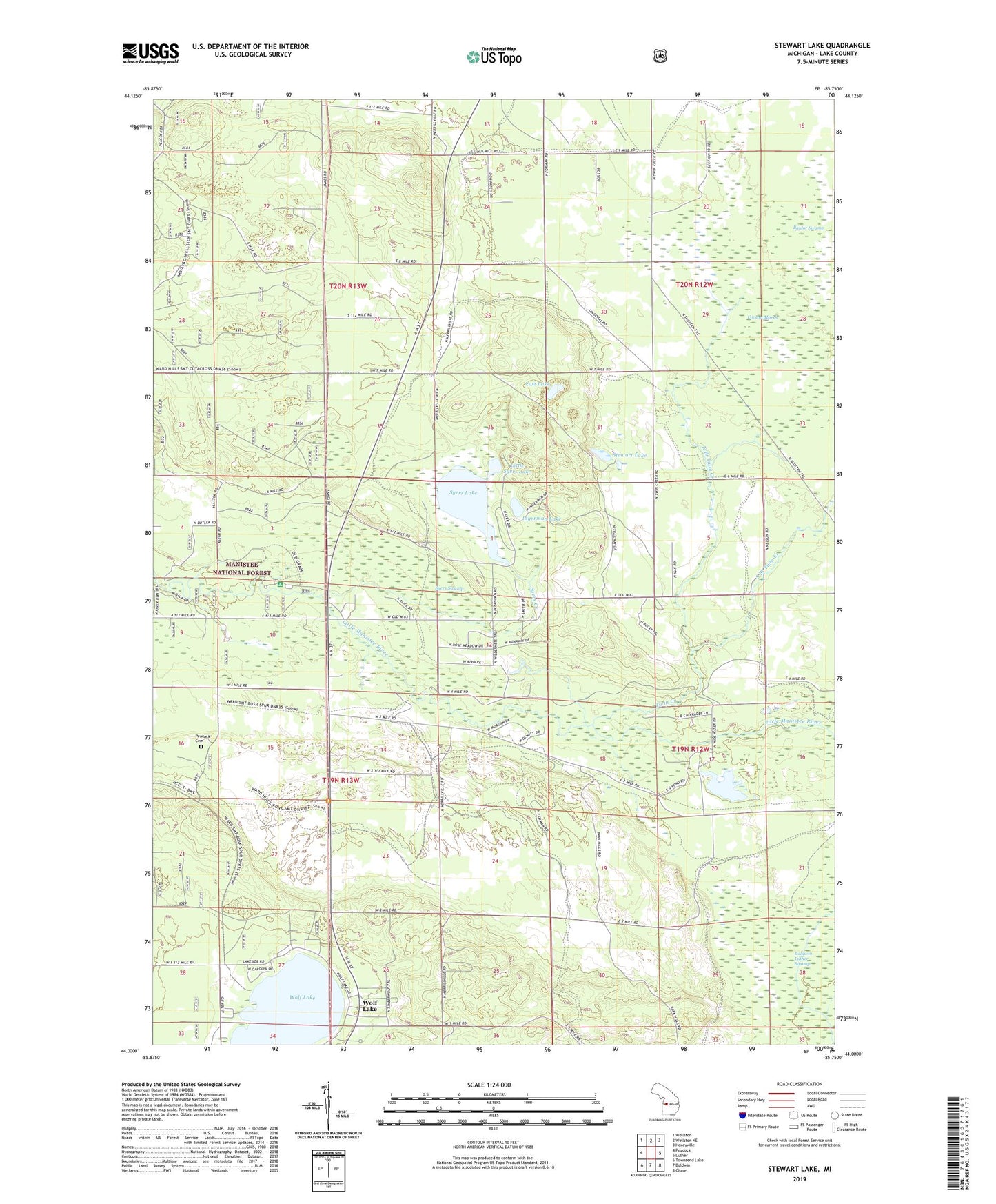
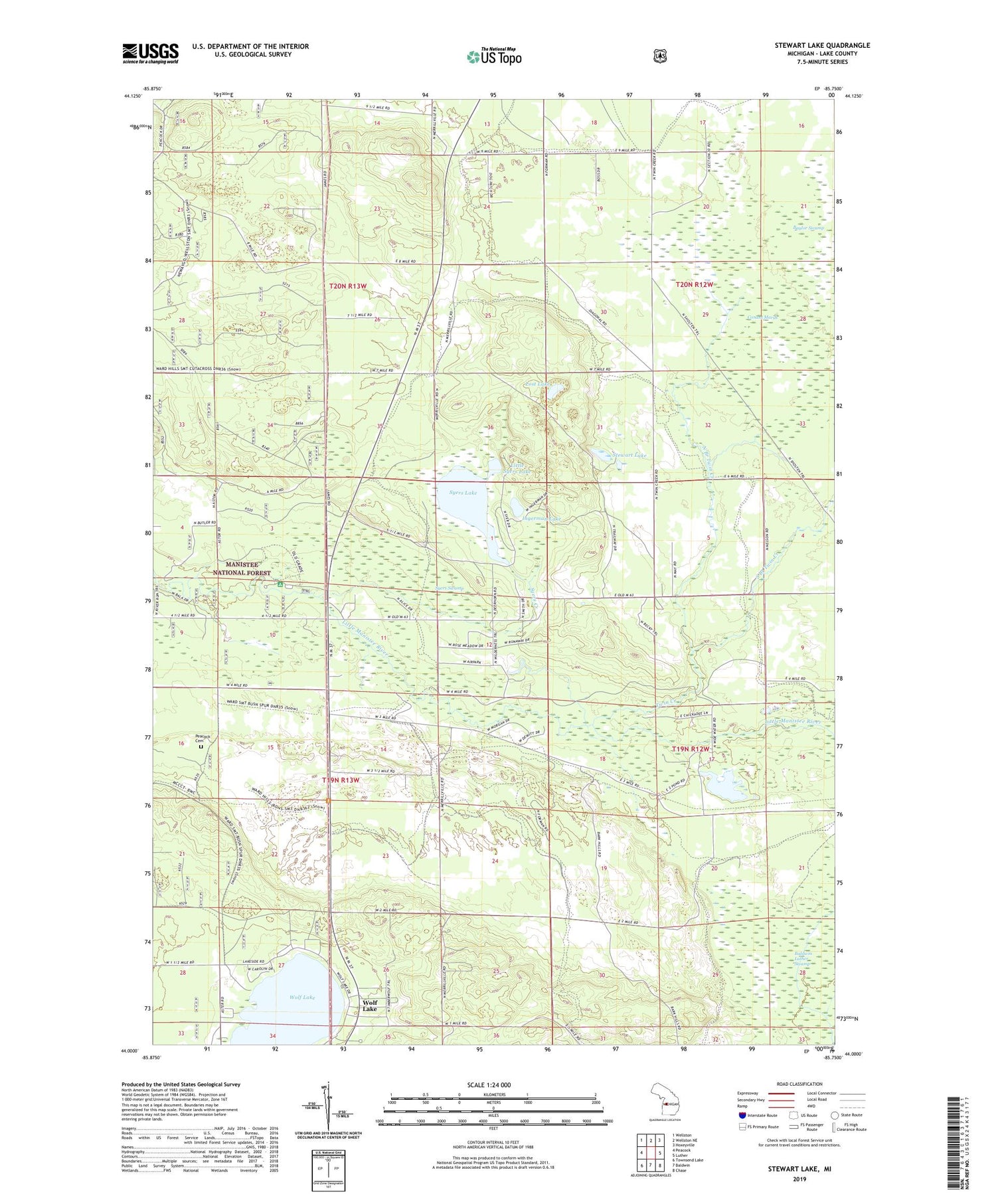
2019 topographic map quadrangle Stewart Lake in the state of Michigan. Scale: 1:24000. Based on the newly updated USGS 7.5' US Topo map series, this map is in the following counties: Lake. The map contains contour data, water features, and other items you are used to seeing on USGS maps, but also has updated roads and other features. This is the next generation of topographic maps. Printed on high-quality waterproof paper with UV fade-resistant inks.
Quads adjacent to this one:
West: Peacock
Northwest: Wellston
North: Wellston NE
Northeast: Hoxeyville
East: Luther
Southeast: Chase
South: Baldwin
Southwest: Townsend Lake
Contains the following named places: Conant Marsh, Copley Post Office, Ingerman Lake, Kingdom Hall of Jehovah's Witnesses, Life Emergency Medical Services of Lake County Irons, Little Syers Lake, Lost Lake, North Branch Twin Creek, Old Grade Campground, Old Grade Trail Camp, Peacock Cemetery, South Branch Twin Creek, Stewart Lake, Syers Creek, Syers Lake, Syers Swamp, Township of Eden, Township of Peacock, Twin Creek, Wolf Lake