MyTopo
Thunder Bay Island Michigan US Topo Map
Couldn't load pickup availability
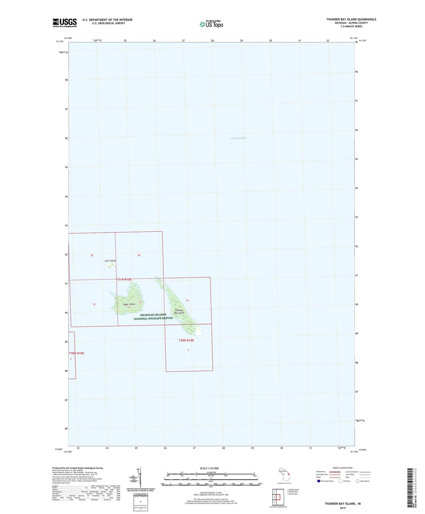
2023 topographic map quadrangle Thunder Bay Island in the state of Michigan. Scale: 1:24000. Based on the newly updated USGS 7.5' US Topo map series, this map is in the following counties: Alpena. The map contains contour data, water features, and other items you are used to seeing on USGS maps, but also has updated roads and other features. This is the next generation of topographic maps. Printed on high-quality waterproof paper with UV fade-resistant inks.
Quads adjacent to this one:
West: North Point
Northwest: Middle Island
Southwest: South Point
This map covers the same area as the classic USGS quad with code o45083a2.
Contains the following named places: Alpena County, Gull Island, Sugar Island, Thunder Bay Island, Thunder Bay Island Light