MyTopo
Timberlost Michigan US Topo Map
Couldn't load pickup availability
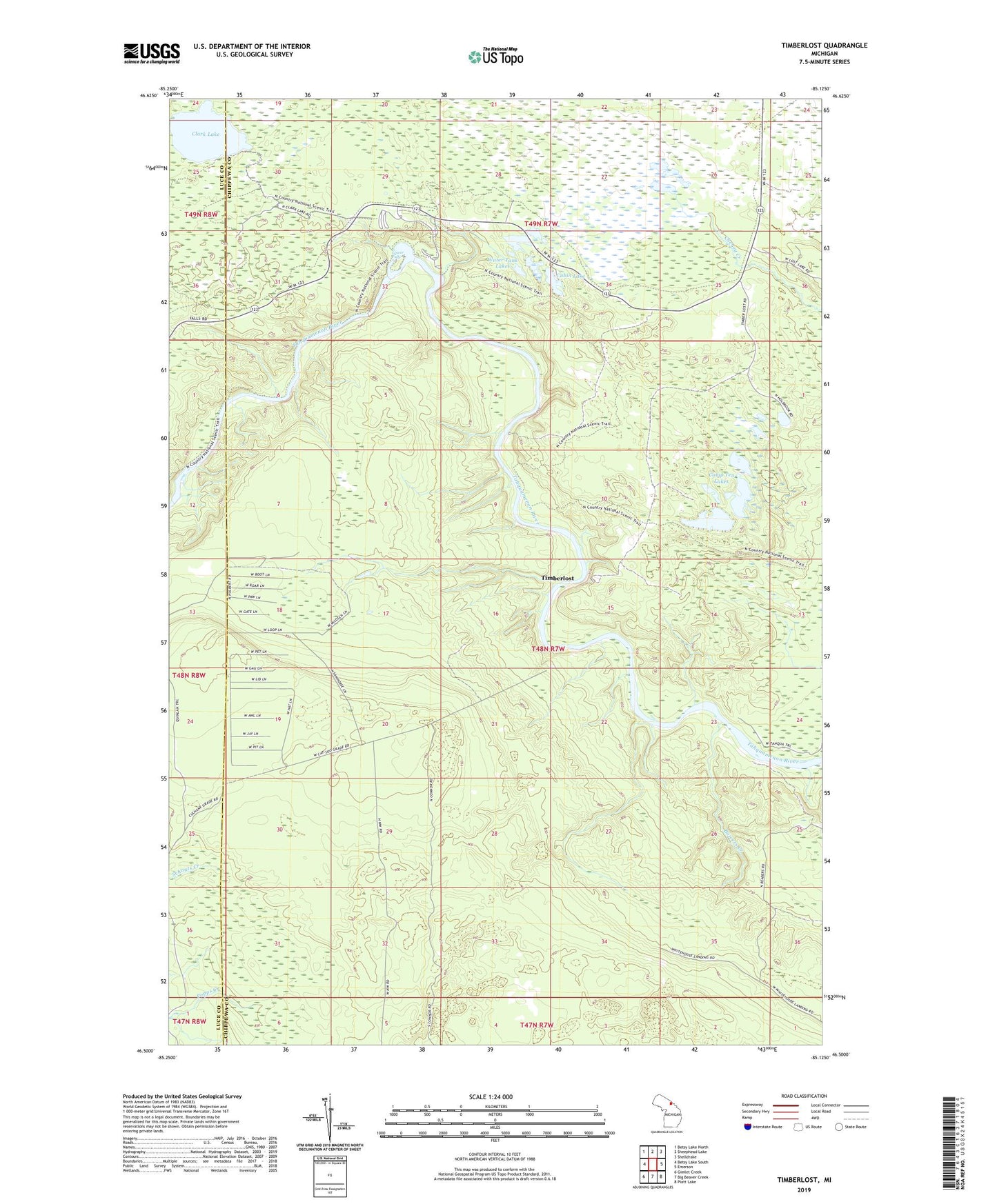
2019 topographic map quadrangle Timberlost in the state of Michigan. Scale: 1:24000. Based on the newly updated USGS 7.5' US Topo map series, this map is in the following counties: Chippewa, Luce. The map contains contour data, water features, and other items you are used to seeing on USGS maps, but also has updated roads and other features. This is the next generation of topographic maps. Printed on high-quality waterproof paper with UV fade-resistant inks.
Quads adjacent to this one:
West: Betsy Lake South
Northwest: Betsy Lake North
North: Sheephead Lake
Northeast: Shelldrake
East: Emerson
Southeast: Piatt Lake
South: Big Beaver Creek
Southwest: Gimlet Creek
Contains the following named places: Bowers Creek, Bowers Lodge, Cabin Lake, Camp Ten Lakes, Clark Lake, Lower Falls, Soo Hunting Club, Tahquamenon Falls State Park, Timberlost, Water Tank Lakes, Whitehouse Landing