MyTopo
Westwood Michigan US Topo Map
Couldn't load pickup availability
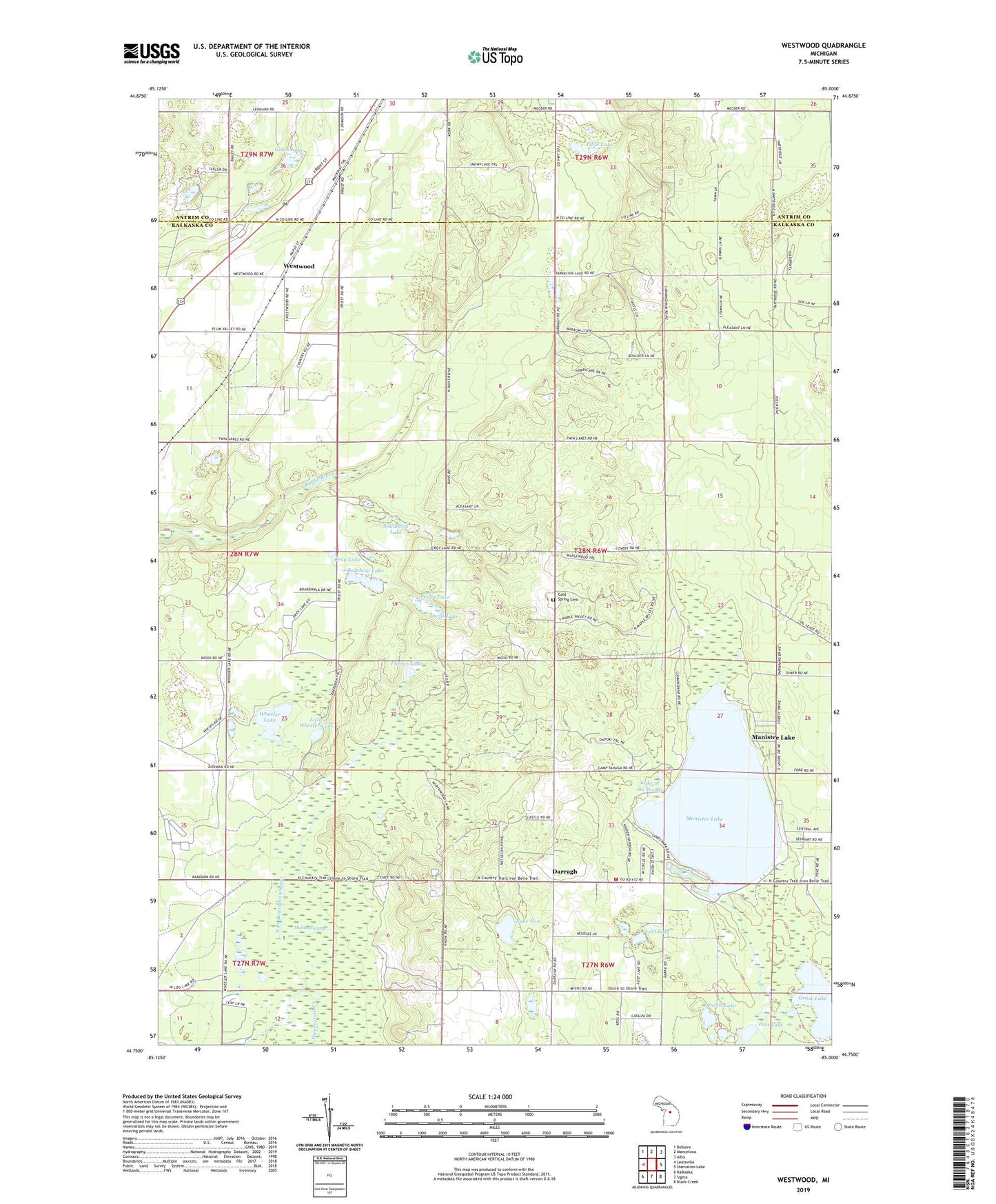
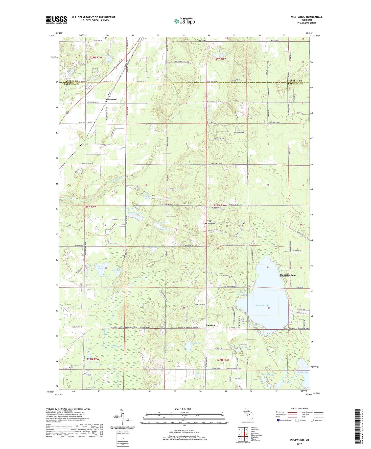
2019 topographic map quadrangle Westwood in the state of Michigan. Scale: 1:24000. Based on the newly updated USGS 7.5' US Topo map series, this map is in the following counties: Kalkaska, Antrim. The map contains contour data, water features, and other items you are used to seeing on USGS maps, but also has updated roads and other features. This is the next generation of topographic maps. Printed on high-quality waterproof paper with UV fade-resistant inks.
Quads adjacent to this one:
West: Leetsville
Northwest: Bellaire
North: Mancelona
Northeast: Alba
East: Starvation Lake
Southeast: Black Creek
South: Sigma
Southwest: Kalkaska
Contains the following named places: Camp Tanuga, Camp Ta-pi-co, Cold Spring Cemetery, Cold Spring Church, Cold Springs Mennonite Church, Coldsprings - Excelsior Township Fire and Rescue Department, Coldsprings Township Hall, Corner Stone Community Bible Church, Croy Lake, Darragh, Darragh Post Office, Davis Lake, Davis School, Day School, Farrar Lake, Grandview Golf Club, Grass Lake, Hardy School, Hauenstein Creek, Lake Five, Lake of the Woods, Little Wheeler Lake, Lost Lake, Mahan Swamp, Manistee Lake, Manistee Lake Census Designated Place, Perch Lake, Peters Lake, Post Lake, Priests Lake, Rainbow Lake, Southwell Lake, Tillie Lake, Township of Coldsprings, Westwood, Westwood Post Office, Westwood Station, Wheeler Lake