MyTopo
Big Falls NW Minnesota US Topo Map
Couldn't load pickup availability
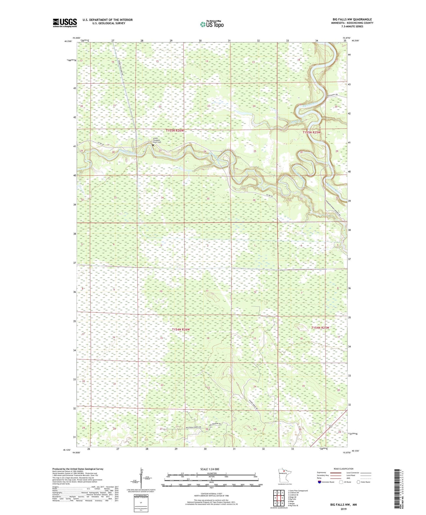
2022 topographic map quadrangle Big Falls NW in the state of Minnesota. Scale: 1:24000. Based on the newly updated USGS 7.5' US Topo map series, this map is in the following counties: Koochiching. The map contains contour data, water features, and other items you are used to seeing on USGS maps, but also has updated roads and other features. This is the next generation of topographic maps. Printed on high-quality waterproof paper with UV fade-resistant inks.
Quads adjacent to this one:
West: Ridge NE
Northwest: Giant Pine Campground
North: Lindford SW
Northeast: Lindford SE
East: Big Falls
Southeast: Big Falls SE
South: Margie
Southwest: Ridge
This map covers the same area as the classic USGS quad with code o48093b8.
Contains the following named places: Lower Sturgeon River Cemetery, Ostby Creek, Sturgeon River, Sturgeon River Landing