MyTopo
Biwabik NW Minnesota US Topo Map
Couldn't load pickup availability
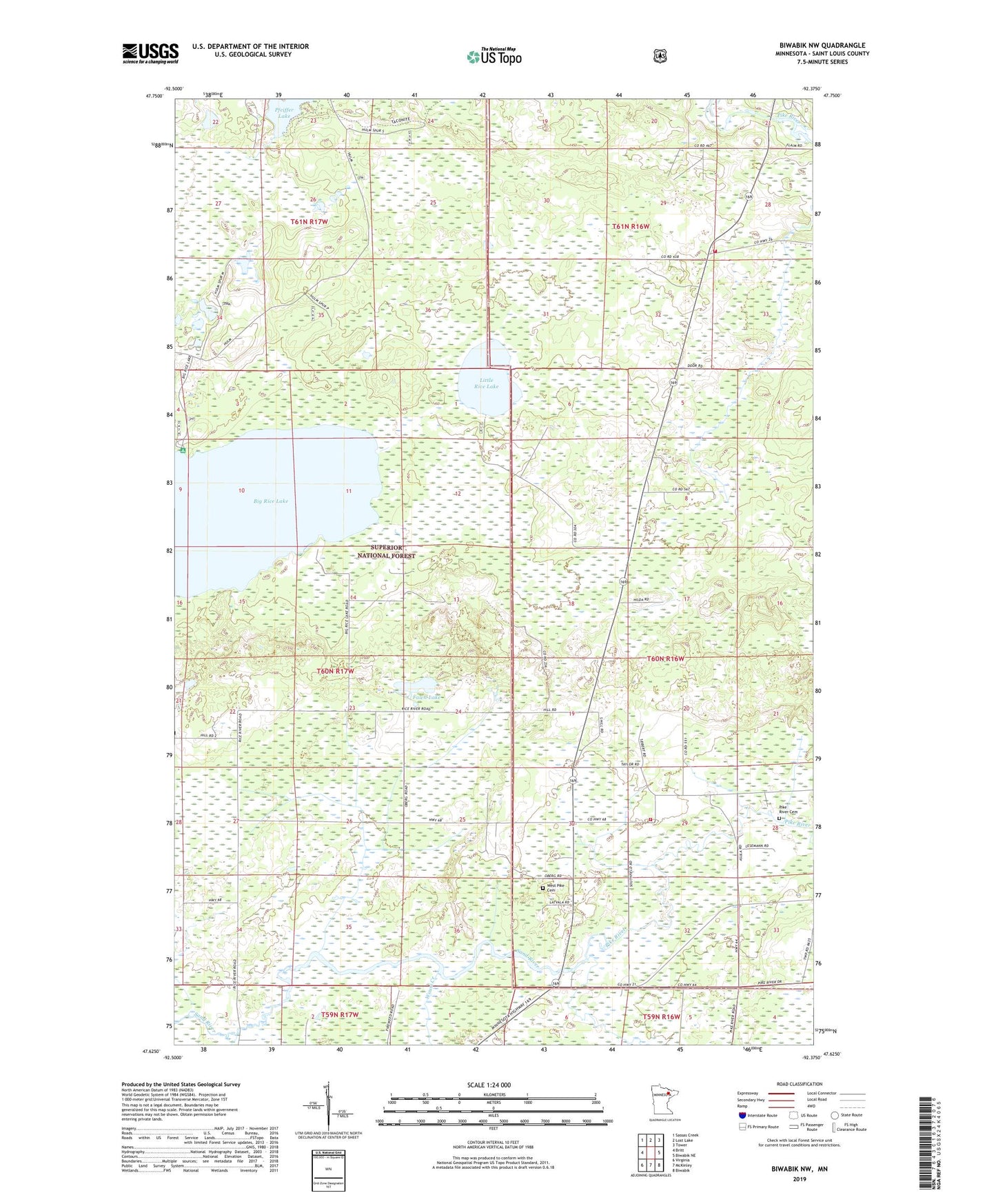
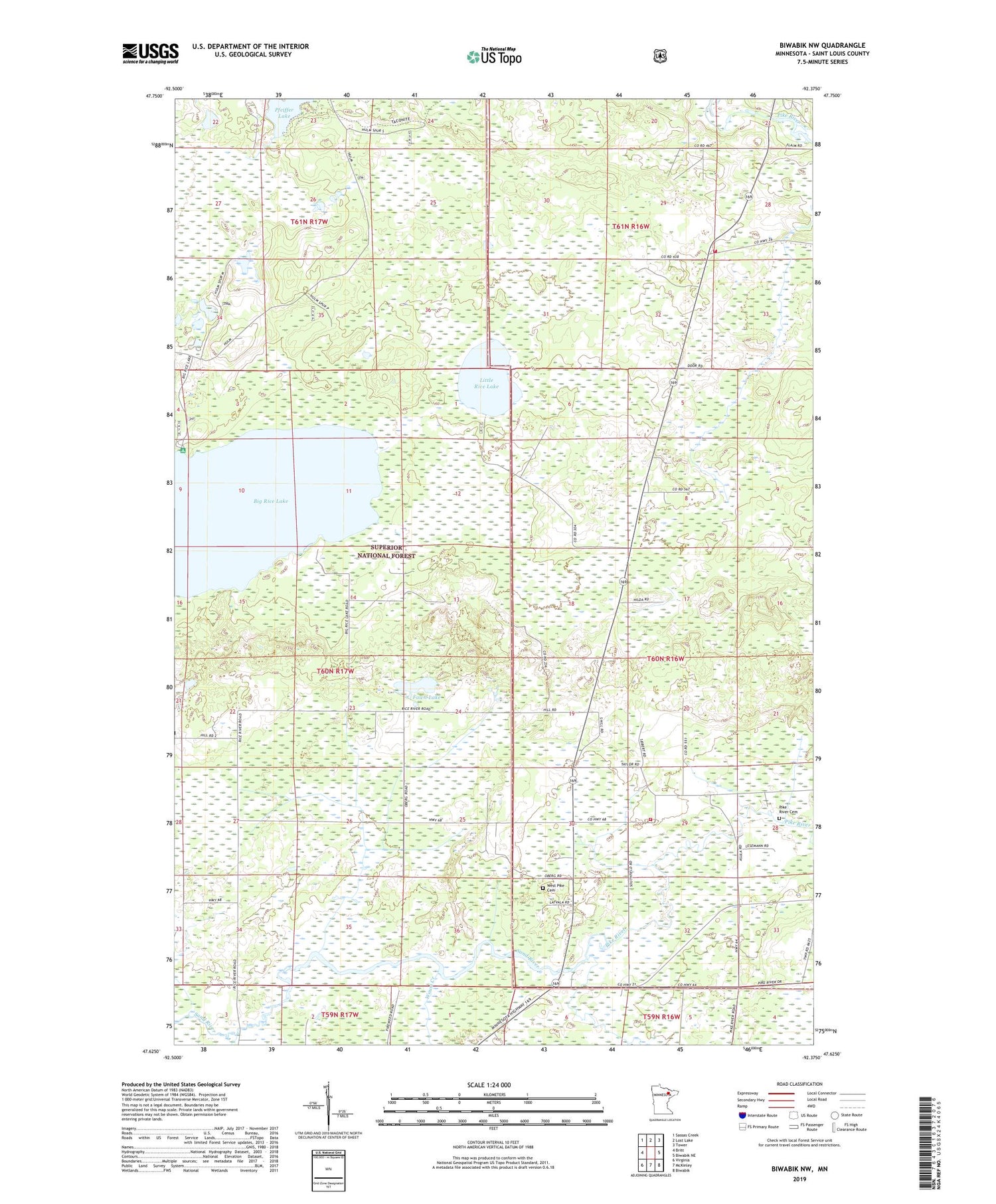
2019 topographic map quadrangle Biwabik NW in the state of Minnesota. Scale: 1:24000. Based on the newly updated USGS 7.5' US Topo map series, this map is in the following counties: St. Louis. The map contains contour data, water features, and other items you are used to seeing on USGS maps, but also has updated roads and other features. This is the next generation of topographic maps. Printed on high-quality waterproof paper with UV fade-resistant inks.
Quads adjacent to this one:
West: Britt
Northwest: Sassas Creek
North: Lost Lake
Northeast: Tower
East: Biwabik NE
Southeast: Biwabik
South: McKinley
Southwest: Virginia
Contains the following named places: Big Rice Lake, Fawn Lake, Florenton Post Office, Gloria Dei Lutheran Church, Little Rice Lake, Pfeiffer Lake, Pike - Sandy - Britt Regional Volunteer Fire Department Pike, Pike Church, Pike Post Office, Sand River, Sandy Church, Sandy Post Office, School Number 14, Township of Sandy, Vermillion Lake Township Fire Department, West Pike Cemetery, Wouri Creek