
MyTopo
Bowstring Lake Minnesota US Topo Map
Couldn't load pickup availability
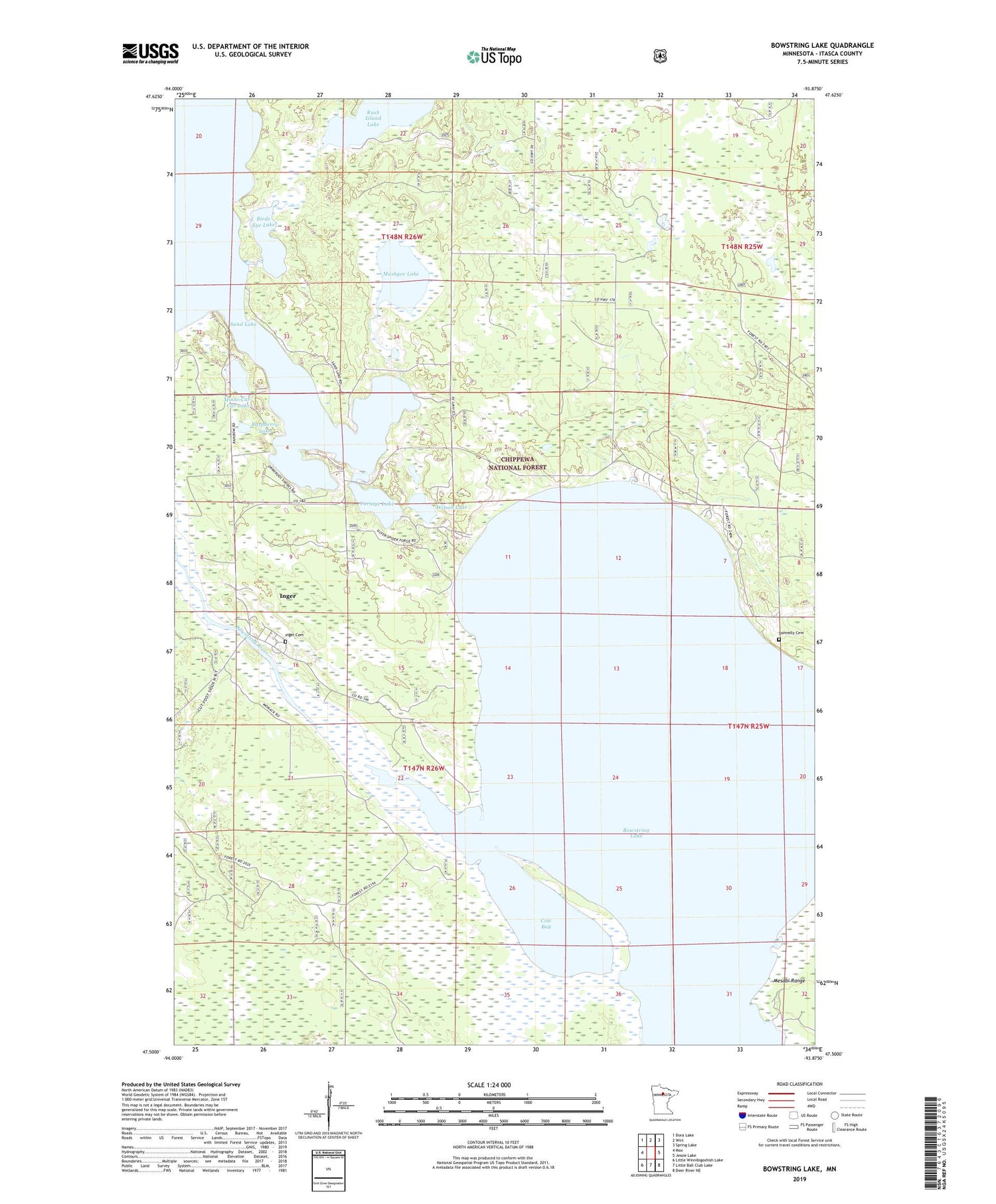
2019 topographic map quadrangle Bowstring Lake in the state of Minnesota. Scale: 1:24000. Based on the newly updated USGS 7.5' US Topo map series, this map is in the following counties: Itasca. The map contains contour data, water features, and other items you are used to seeing on USGS maps, but also has updated roads and other features. This is the next generation of topographic maps. Printed on high-quality waterproof paper with UV fade-resistant inks.
Quads adjacent to this one:
West: Max
Northwest: Dora Lake
North: Wirt
Northeast: Spring Lake
East: Jessie Lake
Southeast: Deer River NE
South: Little Ball Club Lake
Southwest: Little Winnibigoshish Lake
Contains the following named places: Birds Eye Lake, Bowstring Lake, Cow Bay, Donnelly Cemetery, Inger, Inger Cemetery, Inger Census Designated Place, Inger Post Office, Minni-Car-Car Lake, Mushgee Lake, Portage Lake, Raspberry Lake, Rush Island Lake, Sand Lake Church, Wilson Lake


