MyTopo
Chokio Minnesota US Topo Map
Couldn't load pickup availability
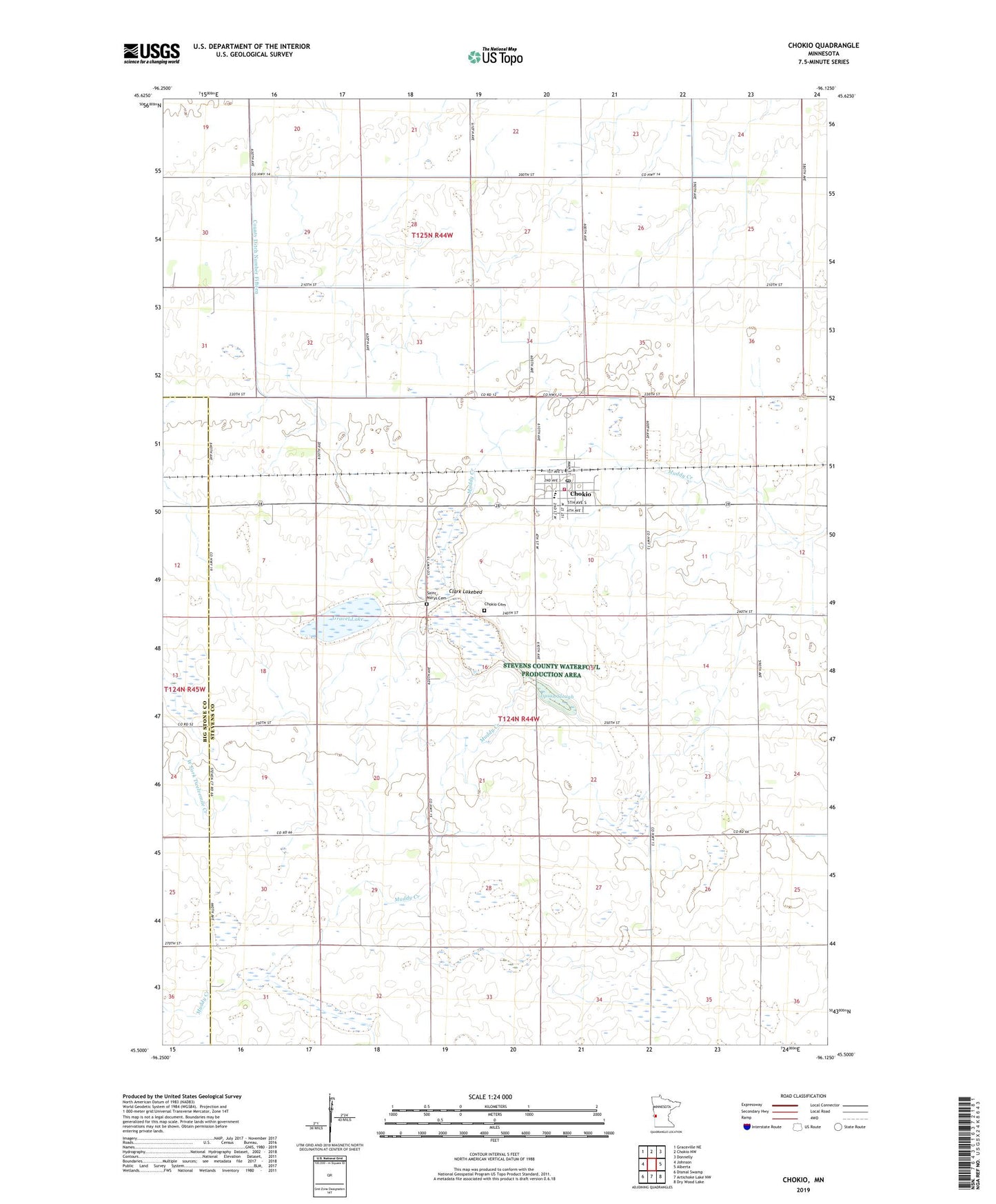
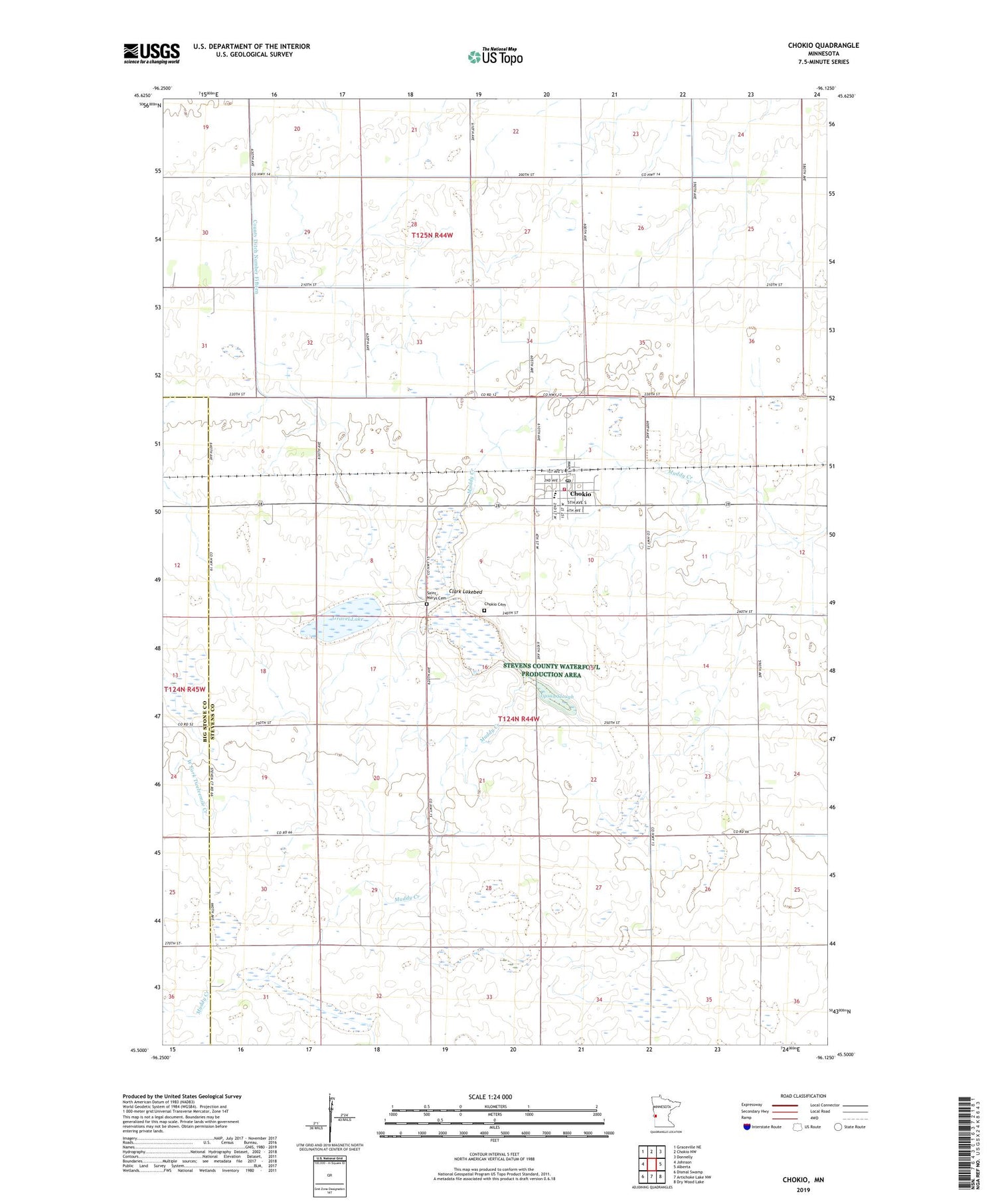
2019 topographic map quadrangle Chokio in the state of Minnesota. Scale: 1:24000. Based on the newly updated USGS 7.5' US Topo map series, this map is in the following counties: Stevens, Big Stone. The map contains contour data, water features, and other items you are used to seeing on USGS maps, but also has updated roads and other features. This is the next generation of topographic maps. Printed on high-quality waterproof paper with UV fade-resistant inks.
Quads adjacent to this one:
West: Johnson
Northwest: Graceville NE
North: Chokio NW
Northeast: Donnelly
East: Alberta
Southeast: Dry Wood Lake
South: Artichoke Lake NW
Southwest: Dismal Swamp
Contains the following named places: Chokio, Chokio Cemetery, Chokio Fire Department, Chokio Medical Center, Chokio Post Office, Chokio-Alberta Elementary School, City of Chokio, Clark Lakebed, County Ditch Number Fifteen, County Ditch Number Twentyfive, County Ditch Number Two, Gravel Lake, Jipson Slough, Our Saviour's Lutheran Church, Saint Marys Cemetery, Saint Mary's Church, School Number 32, School Number 55, School Number 57, School Number 62, Township of Baker, ZIP Code: 56221