MyTopo
Churchill Minnesota US Topo Map
Couldn't load pickup availability
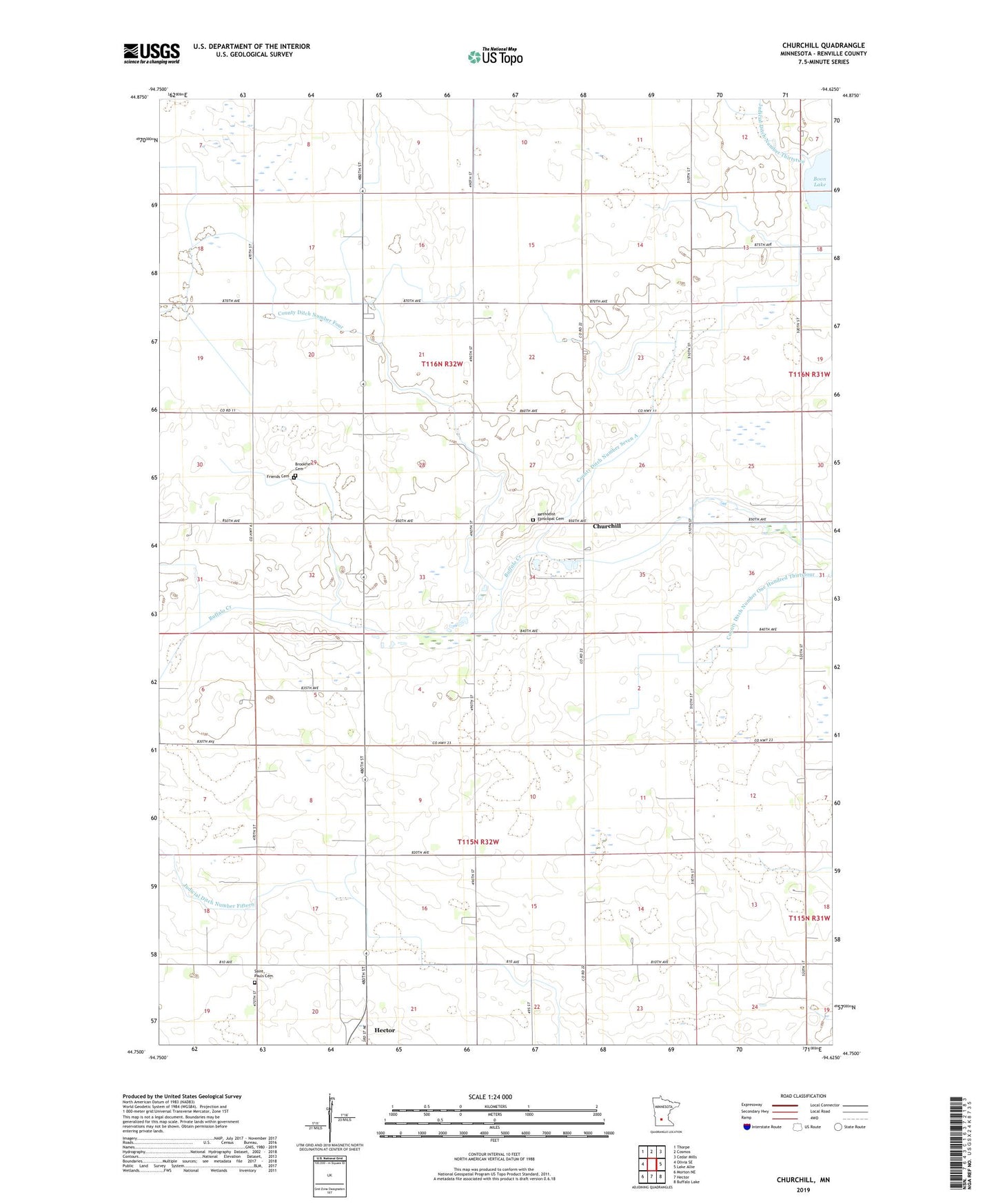
2019 topographic map quadrangle Churchill in the state of Minnesota. Scale: 1:24000. Based on the newly updated USGS 7.5' US Topo map series, this map is in the following counties: Renville. The map contains contour data, water features, and other items you are used to seeing on USGS maps, but also has updated roads and other features. This is the next generation of topographic maps. Printed on high-quality waterproof paper with UV fade-resistant inks.
Quads adjacent to this one:
West: Olivia SE
Northwest: Thorpe
North: Cosmos
Northeast: Cedar Mills
East: Lake Allie
Southeast: Buffalo Lake
South: Hector
Southwest: Morton NE
Contains the following named places: Brookfield Cemetery, Churchill, County Ditch Number Four, County Ditch Number One Hundred Thirtyfour, County Ditch Number Seven A, Friends Cemetery, Judicial Ditch Number Twentyseven, Methodist Episcopal Cemetery, Saint Pauls Cemetery, Township of Brookfield, Township of Hector, Trinity Church