MyTopo
Deer Lake East Minnesota US Topo Map
Couldn't load pickup availability
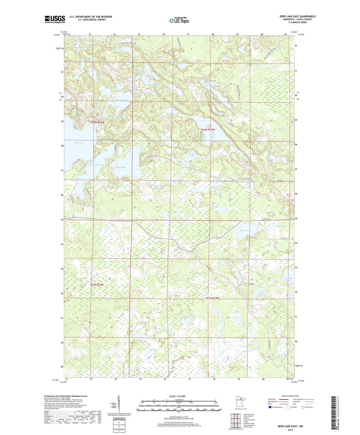
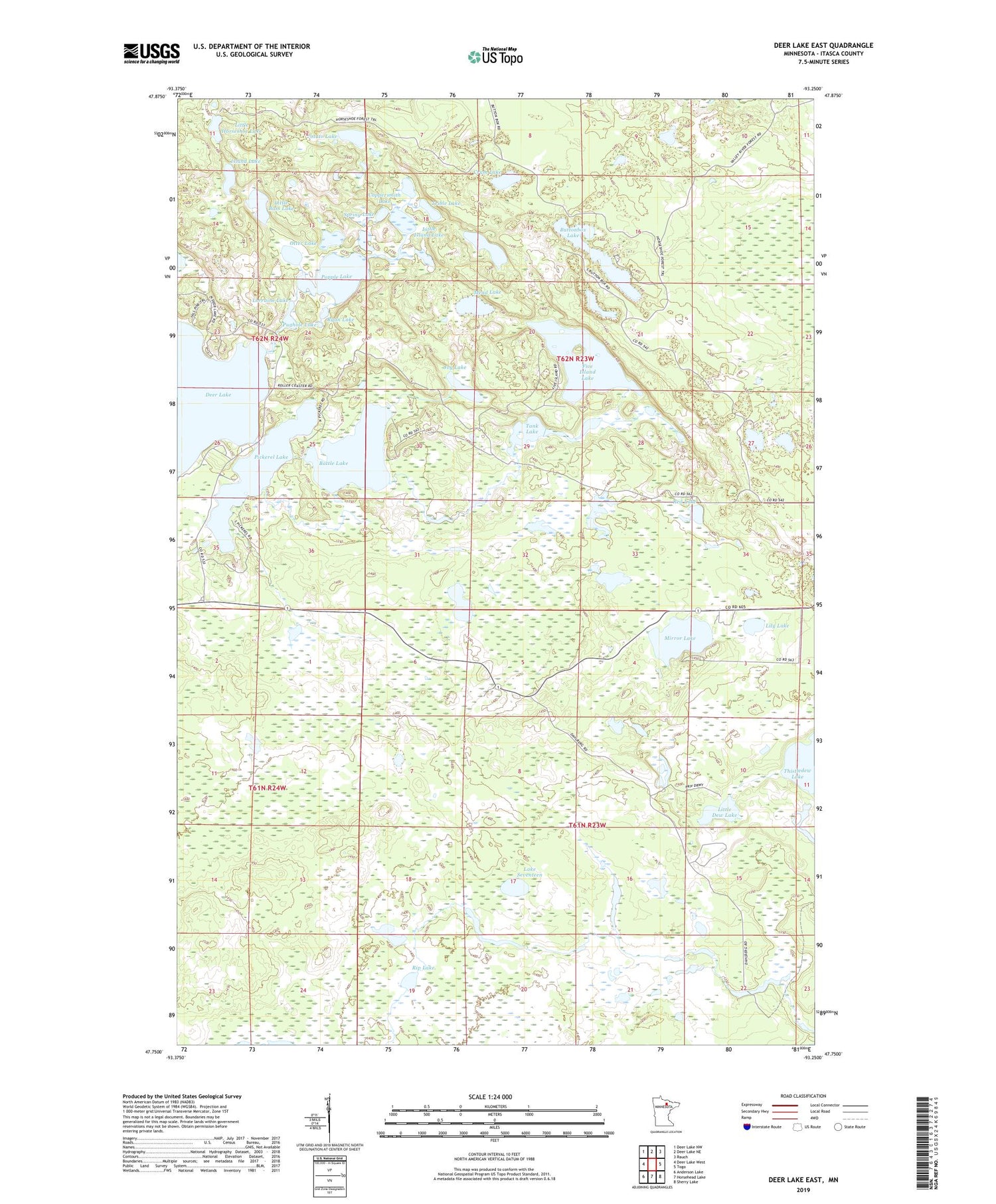
2019 topographic map quadrangle Deer Lake East in the state of Minnesota. Scale: 1:24000. Based on the newly updated USGS 7.5' US Topo map series, this map is in the following counties: Itasca. The map contains contour data, water features, and other items you are used to seeing on USGS maps, but also has updated roads and other features. This is the next generation of topographic maps. Printed on high-quality waterproof paper with UV fade-resistant inks.
Quads adjacent to this one:
West: Deer Lake West
Northwest: Deer Lake NW
North: Deer Lake NE
Northeast: Rauch
East: Togo
Southeast: Sherry Lake
South: Horsehead Lake
Southwest: Anderson Lake
Contains the following named places: Battle Lake, Buttonbox Lake, Buttonbox Trail, Coppersmith Lake, Crum Lake, Five Island Lake, Island Lake, Joy Lake, Lake Seventeen, Lily Lake, Little Bass Lake, Little Dew Lake, Little Horseshoe Lake, Little Island Lake, Lorraine Lake, Mead Lake, Mirror Lake, Otter Lake, Pickerel Lake, Popple Lake, Potato Lake, Pughole Lake, Red Lake, Rip Lake, Rum Lake, Ryan Lake, Spring Lake, Tank Lake, Townline Lake, Township of Carpenter, Trible Lake, Valley River Trail