MyTopo
Deer Lake West Minnesota US Topo Map
Couldn't load pickup availability
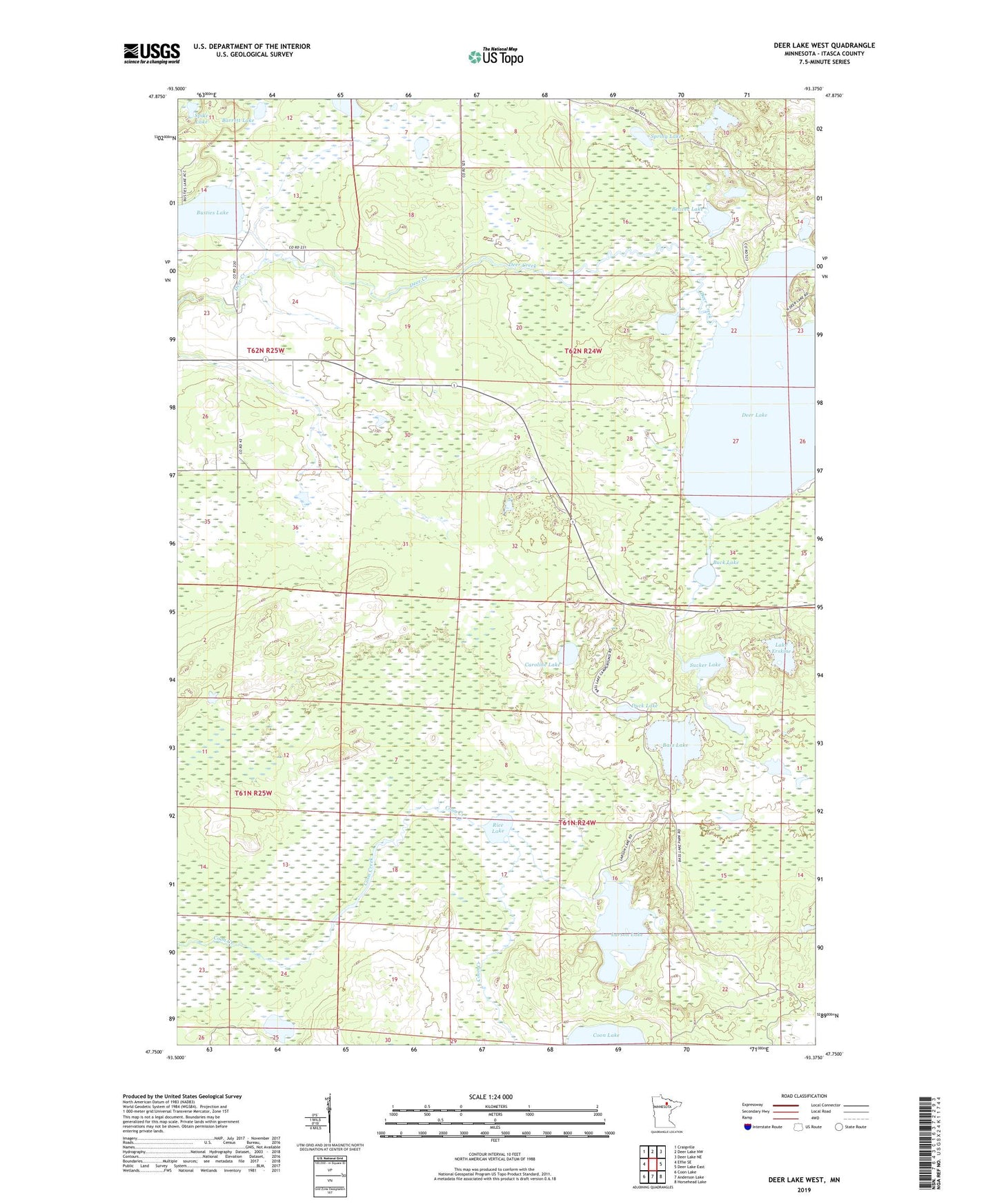
2019 topographic map quadrangle Deer Lake West in the state of Minnesota. Scale: 1:24000. Based on the newly updated USGS 7.5' US Topo map series, this map is in the following counties: Itasca. The map contains contour data, water features, and other items you are used to seeing on USGS maps, but also has updated roads and other features. This is the next generation of topographic maps. Printed on high-quality waterproof paper with UV fade-resistant inks.
Quads adjacent to this one:
West: Effie SE
Northwest: Craigville
North: Deer Lake NW
Northeast: Deer Lake NE
East: Deer Lake East
Southeast: Horsehead Lake
South: Anderson Lake
Southwest: Coon Lake
Contains the following named places: Barrett Lake, Bass Lake, Beaver Lake, Buck Lake, Busties Lake, Busties Lake Dam, Caroline Lake, Deer Creek Dam, Deer Lake, Duck Lake, Elbow Lake, Lake Erskine, Larson Lake, Rice Lake, Spike Lake, Spring Lake, Sucker Lake, Thimble Lake