MyTopo
Denham Minnesota US Topo Map
Couldn't load pickup availability
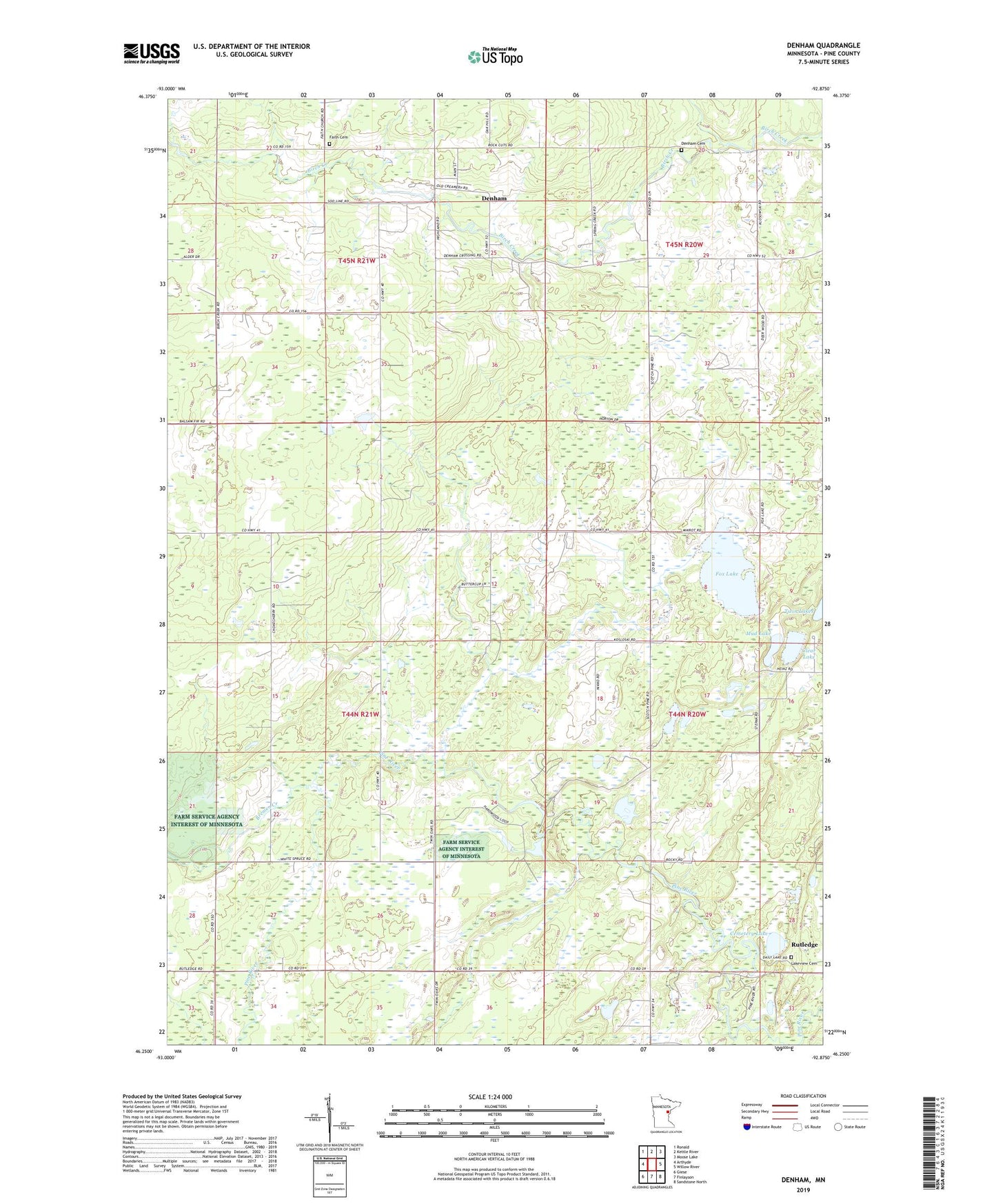
2022 topographic map quadrangle Denham in the state of Minnesota. Scale: 1:24000. Based on the newly updated USGS 7.5' US Topo map series, this map is in the following counties: Pine. The map contains contour data, water features, and other items you are used to seeing on USGS maps, but also has updated roads and other features. This is the next generation of topographic maps. Printed on high-quality waterproof paper with UV fade-resistant inks.
Quads adjacent to this one:
West: Arthyde
Northwest: Ronald
North: Kettle River
Northeast: Moose Lake
East: Willow River
Southeast: Sandstone North
South: Finlayson
Southwest: Giese
This map covers the same area as the classic USGS quad with code o46092c8.
Contains the following named places: Bremen Creek, Cemetery Lake, City of Denham, Clear Lake, Denham, Denham Cemetery, Faith Cemetery, Fox Lake, Lakeview Cemetery, Mark State Wildlife Management Area, Mud Lake, Township of Bremen, Twin Lakes, ZIP Code: 55795