MyTopo
Florian SE Minnesota US Topo Map
Couldn't load pickup availability
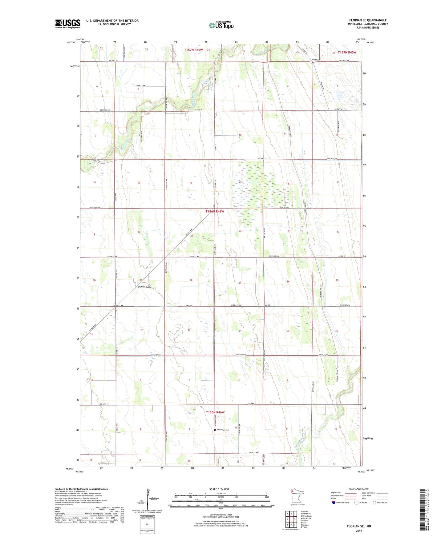
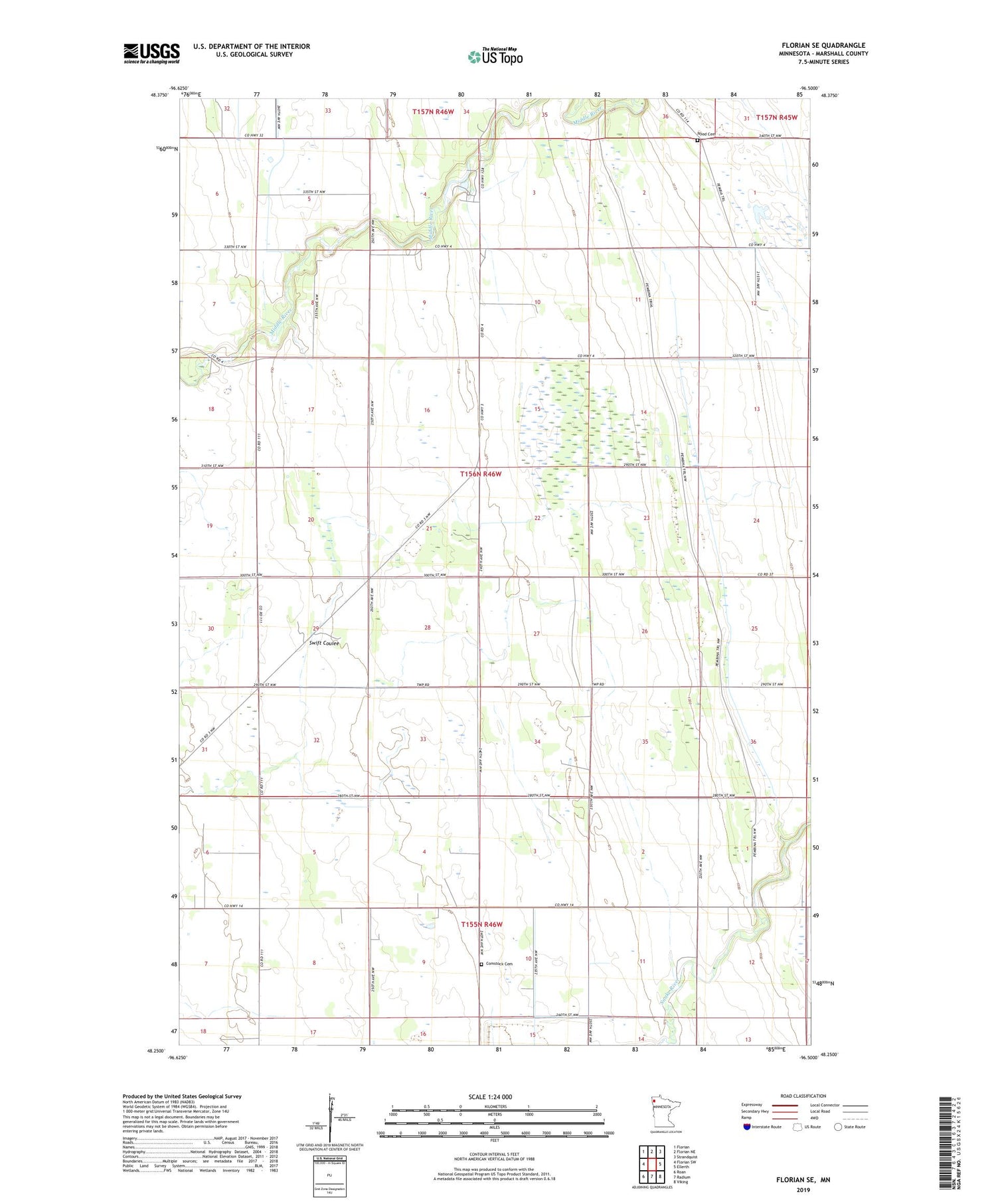
2019 topographic map quadrangle Florian SE in the state of Minnesota. Scale: 1:24000. Based on the newly updated USGS 7.5' US Topo map series, this map is in the following counties: Marshall. The map contains contour data, water features, and other items you are used to seeing on USGS maps, but also has updated roads and other features. This is the next generation of topographic maps. Printed on high-quality waterproof paper with UV fade-resistant inks.
Quads adjacent to this one:
West: Florian SW
Northwest: Florian
North: Florian NE
Northeast: Strandquist
East: Ellerth
Southeast: Viking
South: Radium
Southwest: Roan
Contains the following named places: Assumption Church, Comstock Cemetery, County Ditch Number Fortytwo, Eastern Star School, Edgewood School, Foldahl, Juvik Post Office, McGregor School, Nyed Cemetery, Old Mill State Park, Old Mill State Park Dam, Riverside School, Township of Foldahl, Woodland School