MyTopo
Strandquist Minnesota US Topo Map
Couldn't load pickup availability
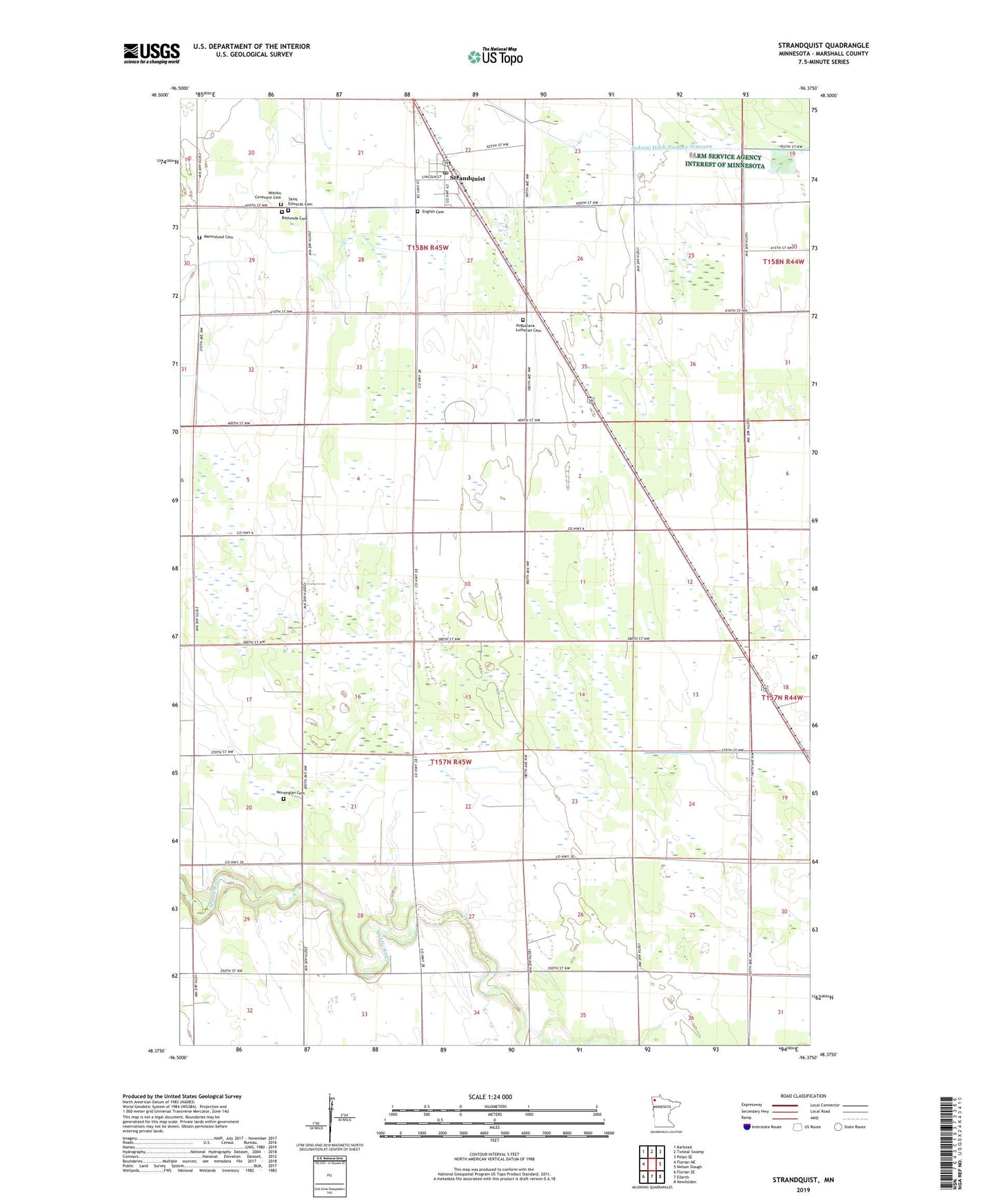
2022 topographic map quadrangle Strandquist in the state of Minnesota. Scale: 1:24000. Based on the newly updated USGS 7.5' US Topo map series, this map is in the following counties: Marshall. The map contains contour data, water features, and other items you are used to seeing on USGS maps, but also has updated roads and other features. This is the next generation of topographic maps. Printed on high-quality waterproof paper with UV fade-resistant inks.
Quads adjacent to this one:
West: Florian NE
Northwest: Karlstad
North: Twistal Swamp
Northeast: Pelan SE
East: Nelson Slough
Southeast: Newfolden
South: Ellerth
Southwest: Florian SE
This map covers the same area as the classic USGS quad with code o48096d4.
Contains the following named places: Augustana Lutheran Cemetery, Bethesda Cemetery, City of Strandquist, County Ditch Number Twentythree, English Cemetery, Lund Post Office, Mamrelund Cemetery, Mission Covenant Cemetery, Norwegian Cemetery, Saint Edwards Cemetery, Strandquist, Strandquist Post Office, Strandquist Station, Township of West Valley, Tri-County School, West Valley Post Office