MyTopo
Gimiwan Lake Minnesota US Topo Map
Couldn't load pickup availability
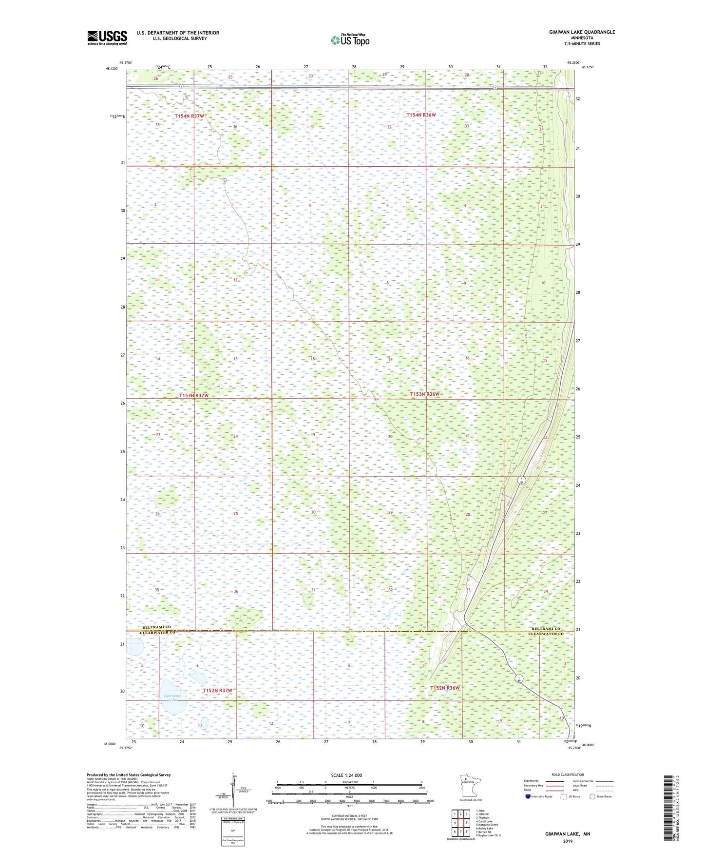
2022 topographic map quadrangle Gimiwan Lake in the state of Minnesota. Scale: 1:24000. Based on the newly updated USGS 7.5' US Topo map series, this map is in the following counties: Beltrami, Clearwater. The map contains contour data, water features, and other items you are used to seeing on USGS maps, but also has updated roads and other features. This is the next generation of topographic maps. Printed on high-quality waterproof paper with UV fade-resistant inks.
Quads adjacent to this one:
West: Cahill Lake
Northwest: Jelle
North: Jelle NE
Northeast: Thorhult
East: Mosquito Creek
Southeast: Bagley Lake OE N
South: Berner NE
Southwest: Bailey Lake
This map covers the same area as the classic USGS quad with code o48095a3.
Contains the following named places: Gimiwan Lake, Little Rock District, Ridge Lookout Tower