MyTopo
Lake Allie Minnesota US Topo Map
Couldn't load pickup availability
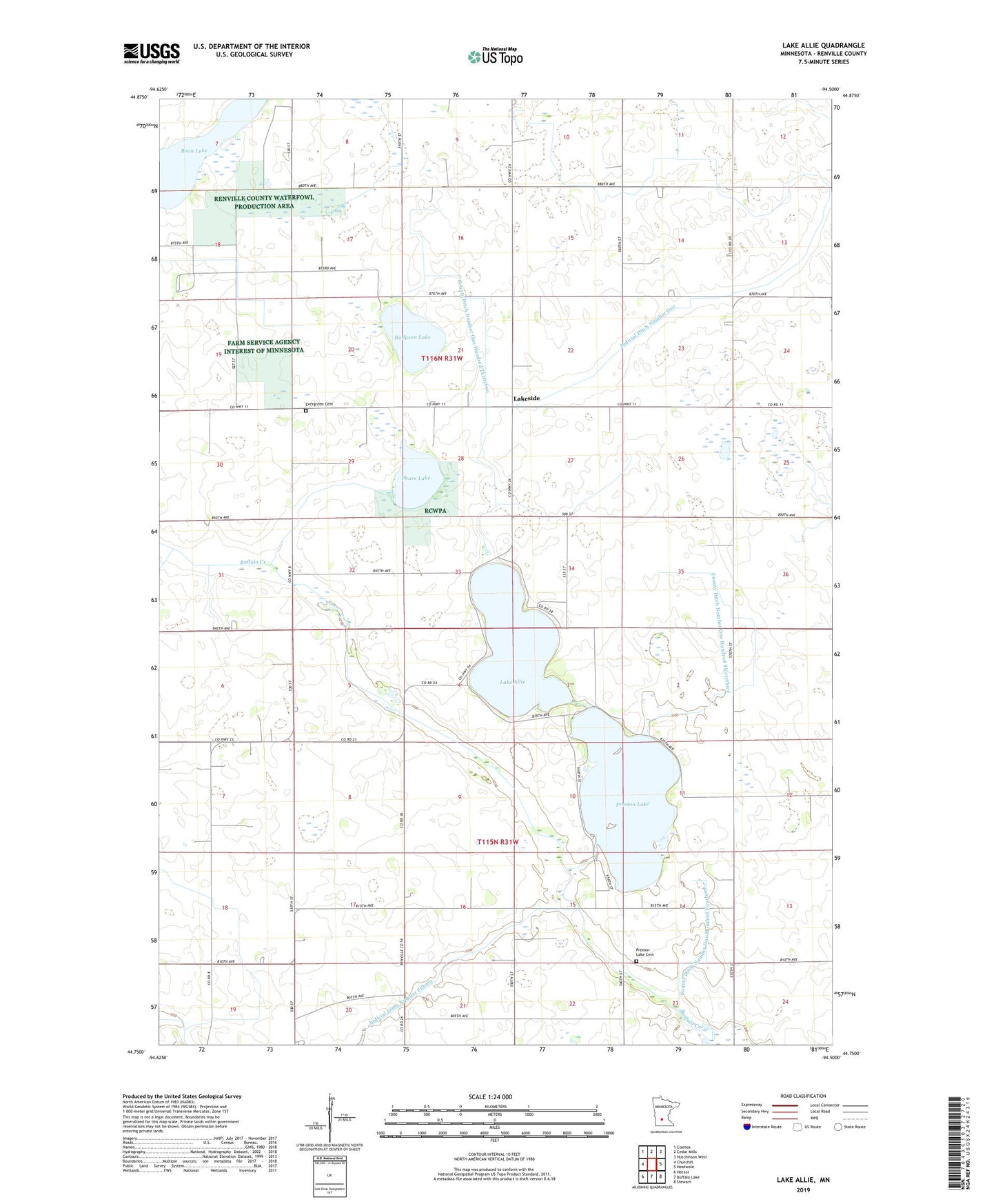
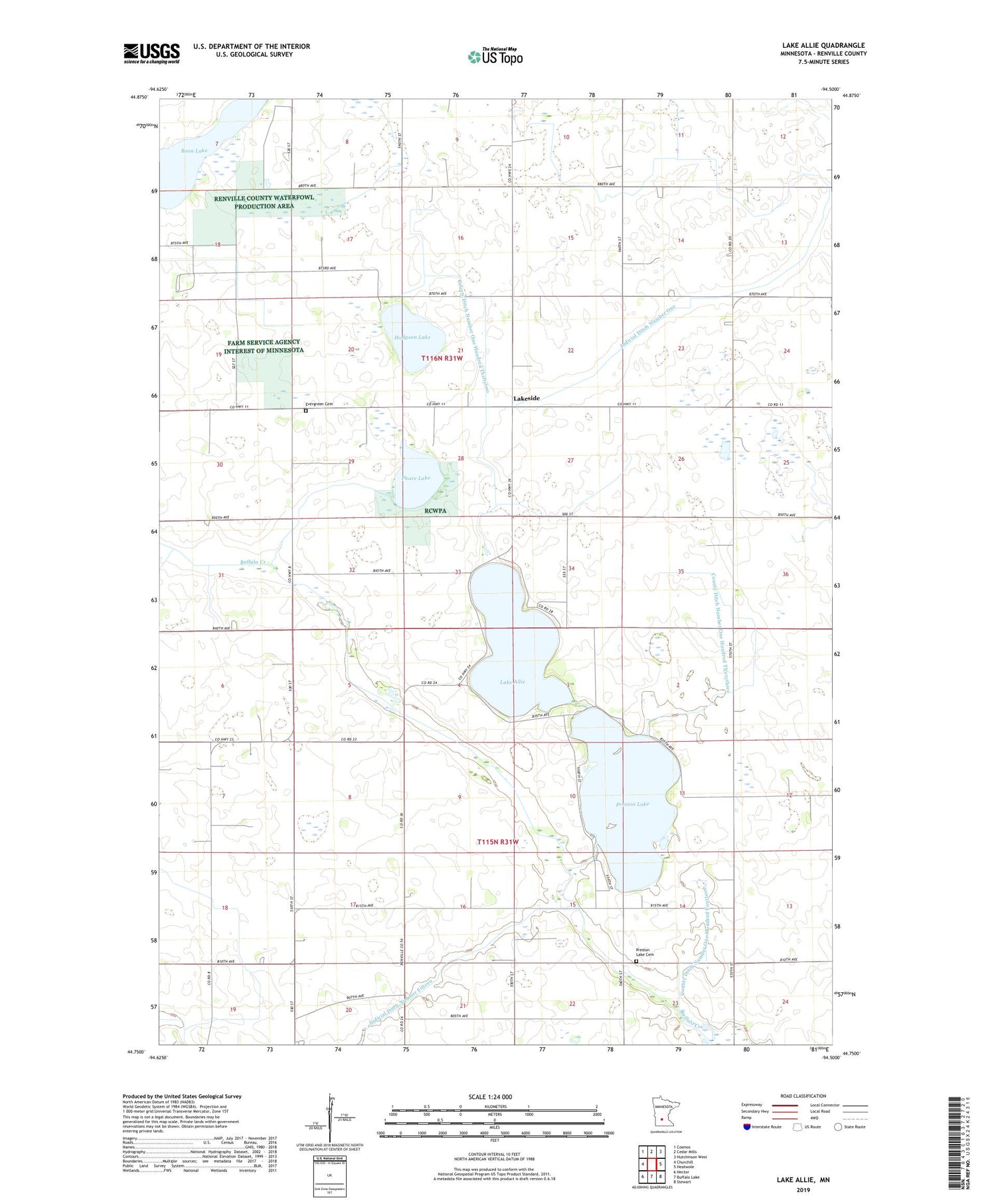
2019 topographic map quadrangle Lake Allie in the state of Minnesota. Scale: 1:24000. Based on the newly updated USGS 7.5' US Topo map series, this map is in the following counties: Renville. The map contains contour data, water features, and other items you are used to seeing on USGS maps, but also has updated roads and other features. This is the next generation of topographic maps. Printed on high-quality waterproof paper with UV fade-resistant inks.
Quads adjacent to this one:
West: Churchill
Northwest: Cosmos
North: Cedar Mills
Northeast: Hutchinson West
East: Heatwole
Southeast: Stewart
South: Buffalo Lake
Southwest: Hector
Contains the following named places: County Ditch Number One Hundred Fourteen, County Ditch Number One Hundred Thirtythree, County Ditch Number One Hundred Thirtytwo, Evergreen Cemetery, Hodgson Lake, Judicial Ditch Number One, Judicial Ditch Number Twentyeight A, Lake Allie, Lake Allie Park, Lakeside, Lakeside Post Office, Phare Lake, Preston Lake, Preston Lake Cemetery, School Number 1769, Township of Boon Lake, Township of Preston Lake, ZIP Code: 55314