MyTopo
McIntosh NE Minnesota US Topo Map
Couldn't load pickup availability
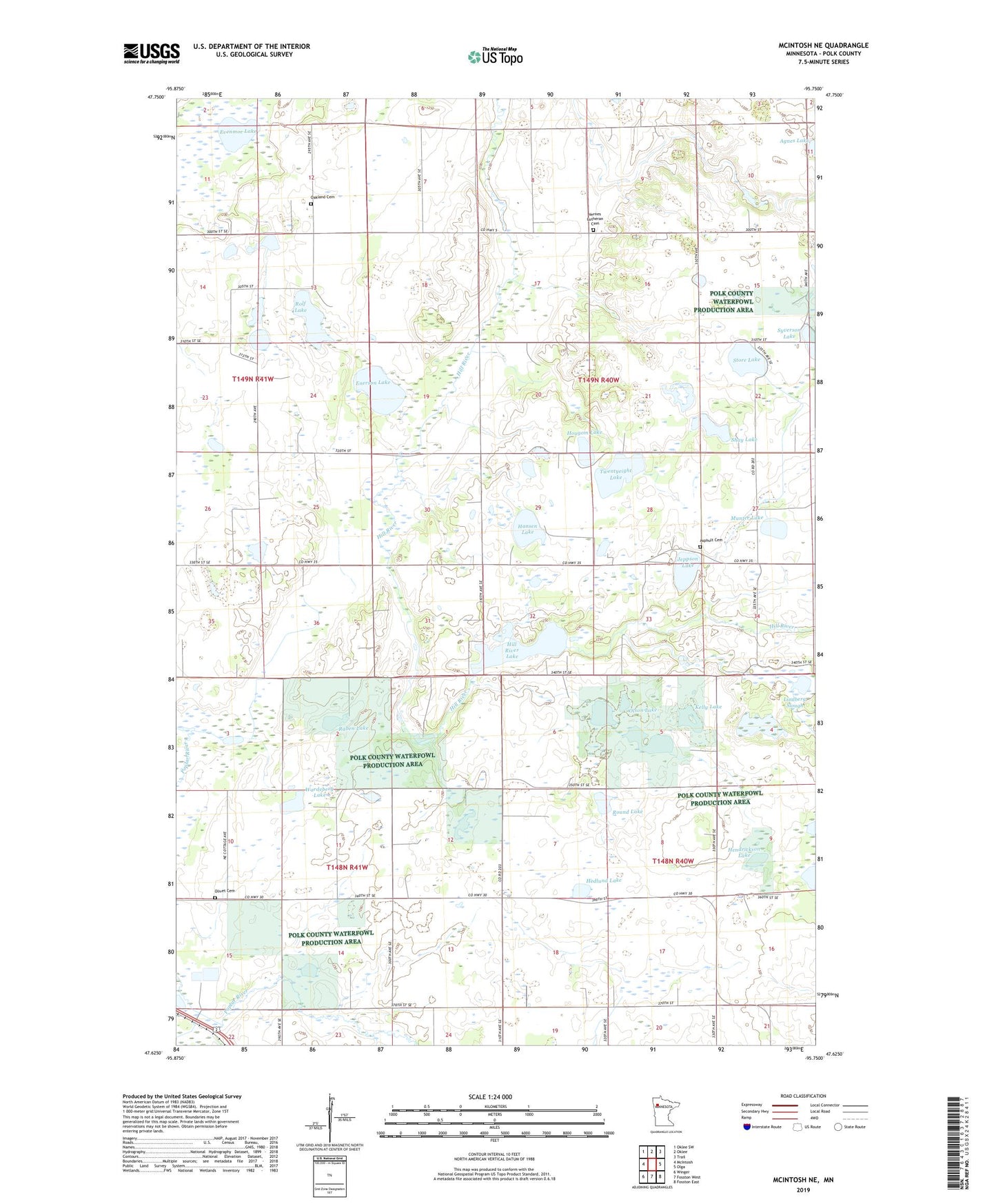
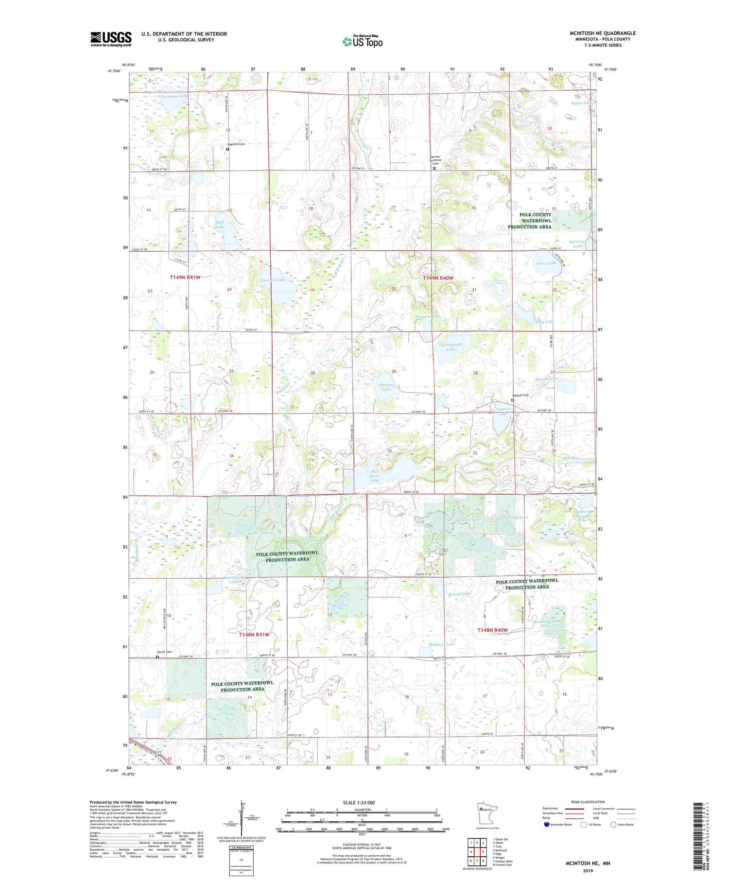
2019 topographic map quadrangle McIntosh NE in the state of Minnesota. Scale: 1:24000. Based on the newly updated USGS 7.5' US Topo map series, this map is in the following counties: Polk. The map contains contour data, water features, and other items you are used to seeing on USGS maps, but also has updated roads and other features. This is the next generation of topographic maps. Printed on high-quality waterproof paper with UV fade-resistant inks.
Quads adjacent to this one:
West: McIntosh
Northwest: Oklee SW
North: Oklee
Northeast: Trail
East: Olga
Southeast: Fosston East
South: Fosston West
Southwest: Winger
Contains the following named places: Alex Lake, Asphult Cemetery, Asphult Church, Enerson Lake, Enerson State Wildlife Management Area, Evenmoe Lake, Hansen Lake, Hedlund Lake, Hendrickson Lake, Hill River Lake, Hill River Lake Dam, Hill River State Wildlife Management Area, Hougom Lake, Jeppson Lake, Kelly Lake, King Post Office, Lindberg Slough, Munter Lake, Oakland Cemetery, Olivet Cemetery, Olson Lake, Raben Lake, Rolf Lake, Round Lake, Shay Lake, Store Lake, Syverson Lake, Township of Hill River, Twentyeight Lake, Vernes Church, Vernes Lutheran Cemetery, Wardeberg Lake