MyTopo
Miesville Minnesota US Topo Map
Couldn't load pickup availability
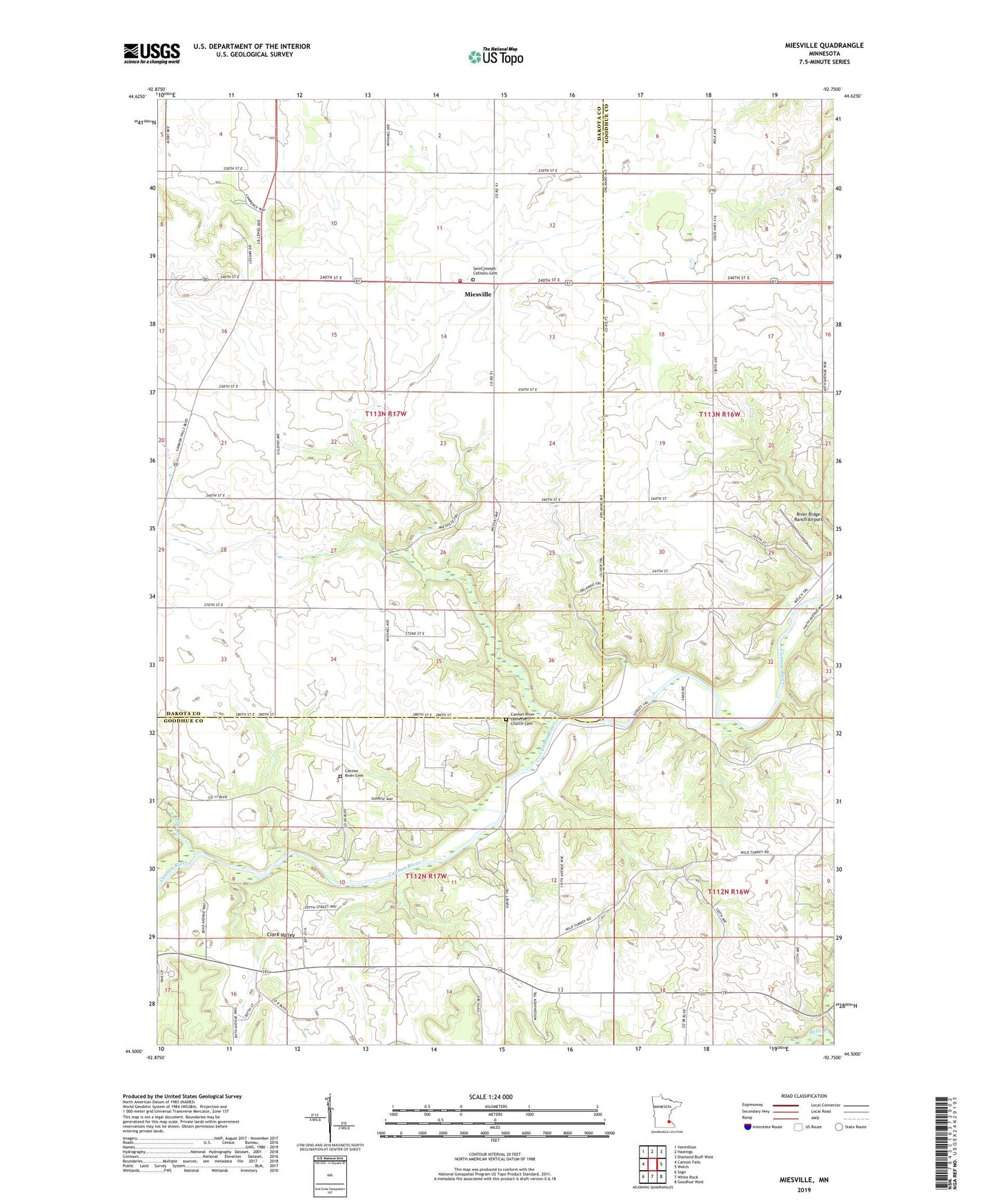
2019 topographic map quadrangle Miesville in the state of Minnesota. Scale: 1:24000. Based on the newly updated USGS 7.5' US Topo map series, this map is in the following counties: Goodhue, Dakota. The map contains contour data, water features, and other items you are used to seeing on USGS maps, but also has updated roads and other features. This is the next generation of topographic maps. Printed on high-quality waterproof paper with UV fade-resistant inks.
Quads adjacent to this one:
West: Cannon Falls
Northwest: Vermillion
North: Hastings
Northeast: Diamond Bluff West
East: Welch
Southeast: Goodhue West
South: White Rock
Southwest: Sogn
Contains the following named places: Cannon Falls Campground, Cannon River Cemetery, Cannon River Church, Cannon River Lutheran Church Cemetery, City of Miesville, Clark Valley, Elmdale Hills Golf Course, Hidden Valley Campgrounds, Miesville, Miesville Post Office, Miesville Volunteer Fire Department, Mineral Springs Sanatorium, Pine Creek, River Ridge Ranch Airport, Saint Joseph Catholic Cemetery, Saint Joseph Catholic Church, Township of Douglas