MyTopo
Mizpah Minnesota US Topo Map
Couldn't load pickup availability
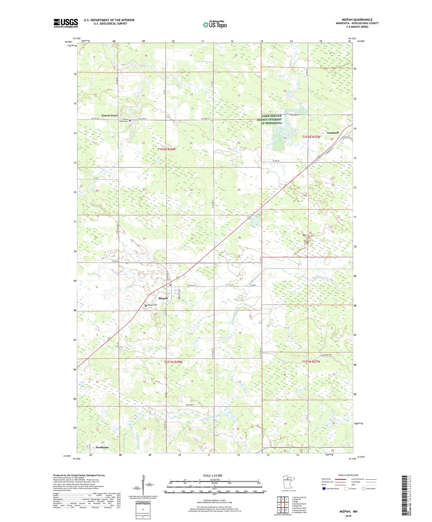
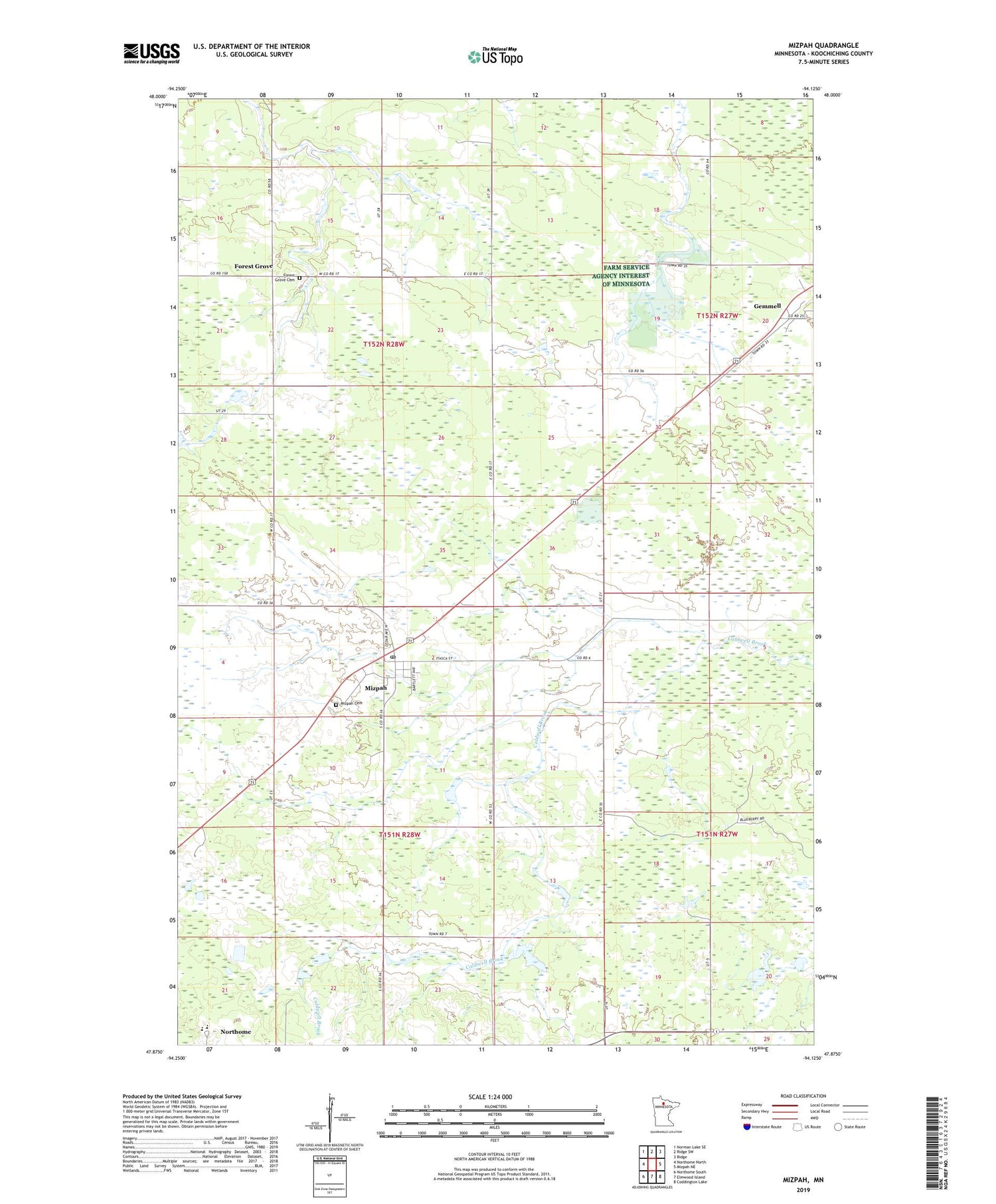
2019 topographic map quadrangle Mizpah in the state of Minnesota. Scale: 1:24000. Based on the newly updated USGS 7.5' US Topo map series, this map is in the following counties: Koochiching. The map contains contour data, water features, and other items you are used to seeing on USGS maps, but also has updated roads and other features. This is the next generation of topographic maps. Printed on high-quality waterproof paper with UV fade-resistant inks.
Quads adjacent to this one:
West: Northome North
Northwest: Norman Lake SE
North: Ridge SW
Northeast: Ridge
East: Mizpah NE
Southeast: Coddington Lake
South: Elmwood Island
Southwest: Northome South
Contains the following named places: City of Mizpah, Forest Grove, Forest Grove Cemetery, Girl Lake, Girl Lake Dam, Mizpah, Mizpah Cemetery, Mizpah Post Office, Unorganized Territory of Northome, ZIP Code: 56660