MyTopo
Nashwauk Minnesota US Topo Map
Couldn't load pickup availability
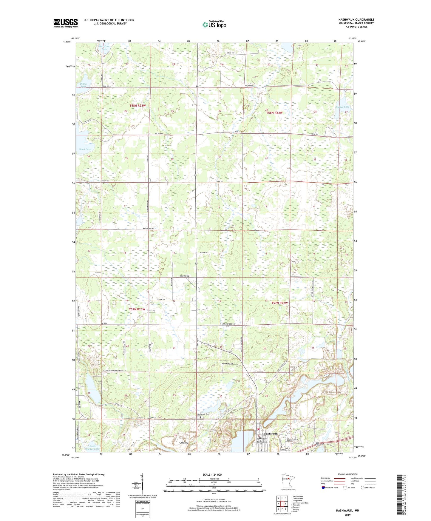
2019 topographic map quadrangle Nashwauk in the state of Minnesota. Scale: 1:24000. Based on the newly updated USGS 7.5' US Topo map series, this map is in the following counties: Itasca. The map contains contour data, water features, and other items you are used to seeing on USGS maps, but also has updated roads and other features. This is the next generation of topographic maps. Printed on high-quality waterproof paper with UV fade-resistant inks.
Quads adjacent to this one:
West: Lawrence Lake East
Northwest: Hartley Lake
Northeast: Stingy Lake
East: Keewatin
Southeast: Silica
South: Pengilly
Southwest: Calumet
Contains the following named places: Argonne Mine, Calbraith Mine, Carrol Mine, City of Nashwauk, Cloverdale Mennonite Church, Cloverdale School, Dollar Lake, Grand Rapids Clinic- Nashwauk, Hadley Mine, Halobe Mine, Harrison Lake, Hawkins Mine, Johnson Lake, Larue Mine, Little McCarthy Lake, Mace Mine, Mesaba Clinic- Nashwauk, Nashwauk, Nashwauk Alliance Church, Nashwauk Ambulance Service, Nashwauk Cemetery, Nashwauk City Park Camp, Nashwauk Fire Department, Nashwauk Lutheran Church, Nashwauk Police Department, Nashwauk Post Office, Nashwauk-Keewatin High School, O'Brien North Dam, Parkview Mobile Home Court, Perry-Wyman Tailings Basin, Perry-Wyman Tailings Dike, Reservoir Number Four, Saint Cecilia's Church, Shafer Lake, Township of Nashwauk, United Methodist Church, York Mine, ZIP Code: 55769