MyTopo
Pelan Minnesota US Topo Map
Couldn't load pickup availability
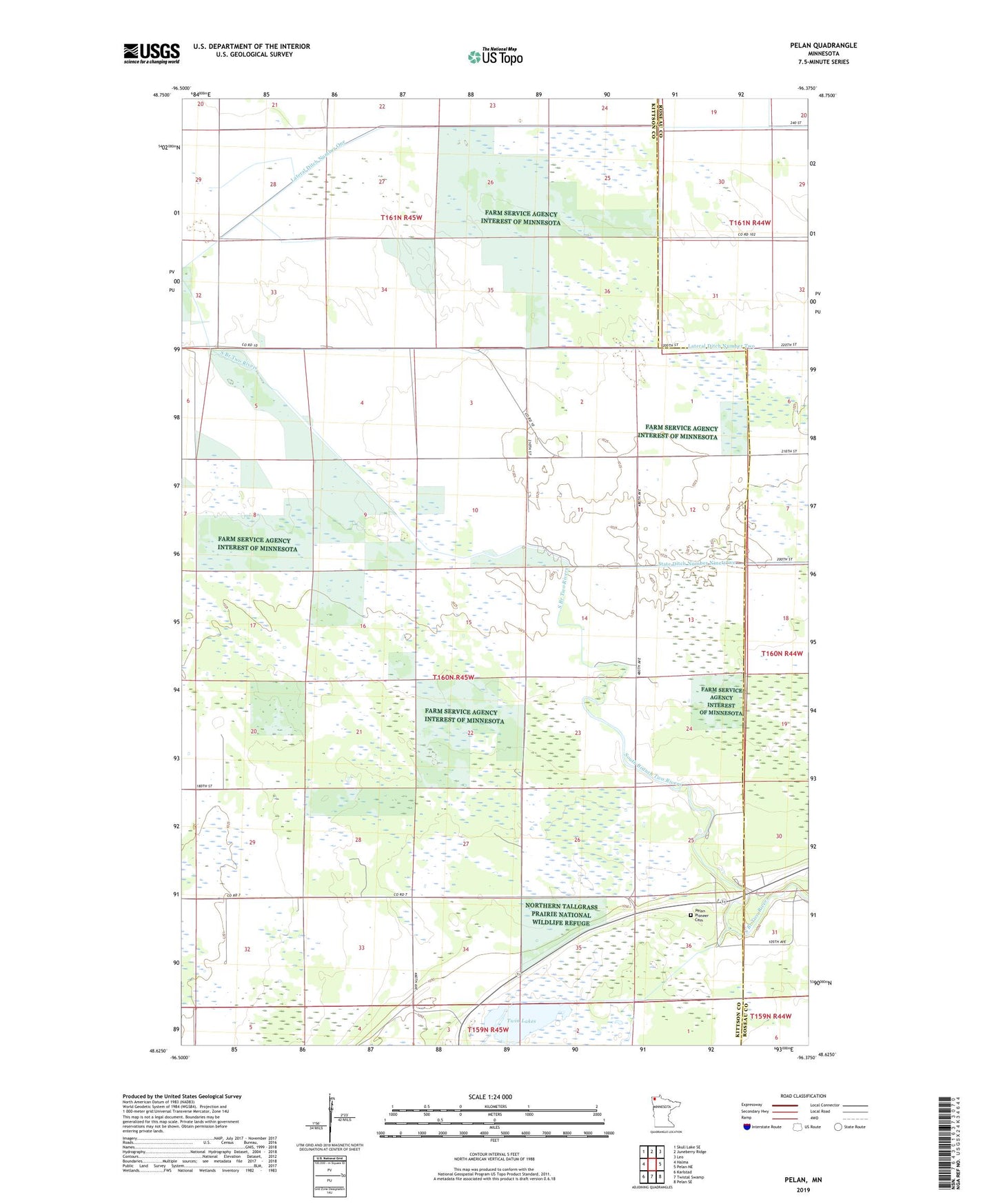
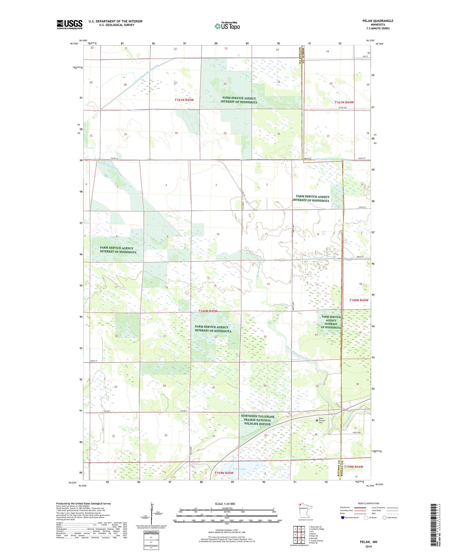
2019 topographic map quadrangle Pelan in the state of Minnesota. Scale: 1:24000. Based on the newly updated USGS 7.5' US Topo map series, this map is in the following counties: Kittson, Roseau. The map contains contour data, water features, and other items you are used to seeing on USGS maps, but also has updated roads and other features. This is the next generation of topographic maps. Printed on high-quality waterproof paper with UV fade-resistant inks.
Quads adjacent to this one:
West: Halma
Northwest: Skull Lake SE
North: Juneberry Ridge
Northeast: Leo
East: Pelan NE
Southeast: Pelan SE
South: Twistal Swamp
Southwest: Karlstad
Contains the following named places: Beaches State Wildlife Management Area, Lateral Ditch Number One, Lateral Ditch Number Two, Pelan, Pelan Pioneer Cemetery, State Ditch Number 90 Dam, State Ditch Number Ninetyfive, Township of Pelan, Twin Lakes