MyTopo
Halma Minnesota US Topo Map
Couldn't load pickup availability
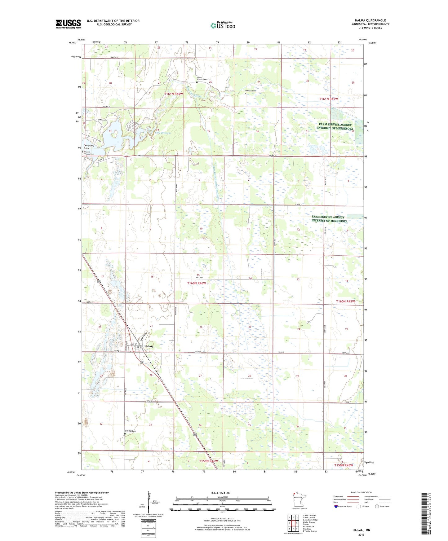
2022 topographic map quadrangle Halma in the state of Minnesota. Scale: 1:24000. Based on the newly updated USGS 7.5' US Topo map series, this map is in the following counties: Kittson. The map contains contour data, water features, and other items you are used to seeing on USGS maps, but also has updated roads and other features. This is the next generation of topographic maps. Printed on high-quality waterproof paper with UV fade-resistant inks.
Quads adjacent to this one:
West: Lake Bronson
Northwest: Skull Lake SW
North: Skull Lake SE
Northeast: Juneberry Ridge
East: Pelan
Southeast: Twistal Swamp
South: Karlstad
Southwest: Karlstad SW
This map covers the same area as the classic USGS quad with code o48096f5.
Contains the following named places: Bible Camp, Bible Camp Church, Bronson Pioneer Cemetery, Cemetery Point, City of Halma, Eidsvold Cemetery, Eidsvold Lutheran Church, Halma, Halma Post Office, Halma Station, Lake Bronson, Lake Bronson State Park, Nyren Burials Cemetery, State Ditch Number Fortynine, Swanson Cemetery, Township of Norway, ZIP Code: 56729