MyTopo
Pelland Minnesota US Topo Map
Couldn't load pickup availability
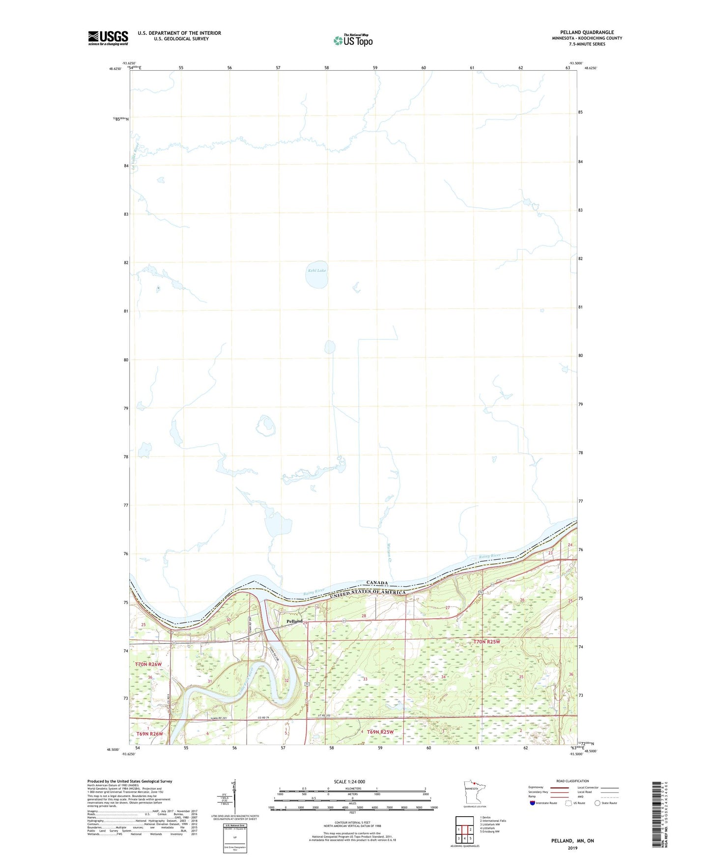
2022 topographic map quadrangle Pelland in the state of Minnesota. Scale: 1:24000. Based on the newly updated USGS 7.5' US Topo map series, this map is in the following counties: Koochiching. The map contains contour data, water features, and other items you are used to seeing on USGS maps, but also has updated roads and other features. This is the next generation of topographic maps. Printed on high-quality waterproof paper with UV fade-resistant inks.
Quads adjacent to this one:
West: Devlin
East: International Falls
Southeast: Ericsburg NW
South: Littlefork
Southwest: Littlefork NW
This map covers the same area as the classic USGS quad with code o48093e5.
Contains the following named places: Little Fork River, Pelland, Pelland Post Office