
MyTopo
Sanborn NE Minnesota US Topo Map
Couldn't load pickup availability
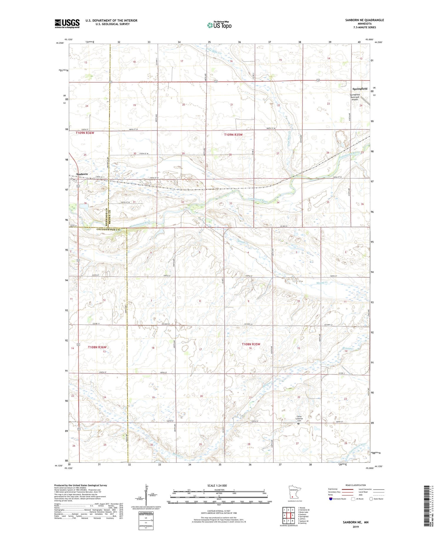
2019 topographic map quadrangle Sanborn NE in the state of Minnesota. Scale: 1:24000. Based on the newly updated USGS 7.5' US Topo map series, this map is in the following counties: Brown, Cottonwood, Redwood. The map contains contour data, water features, and other items you are used to seeing on USGS maps, but also has updated roads and other features. This is the next generation of topographic maps. Printed on high-quality waterproof paper with UV fade-resistant inks.
Quads adjacent to this one:
West: Sanborn
Northwest: Wanda
North: Clements SE
Northeast: Boise Lake
East: Springfield
Southeast: Comfrey
South: Sanborn SE
Southwest: Jeffers
Contains the following named places: Christ Church, Christ Lutheran Cemetery, Coal Mine Creek, Judicial Ditch Number Twentyfour, KLPR-FM (Springfield), Mound Creek, Township of North Star, Township of Stately


