MyTopo
Sogn Minnesota US Topo Map
Couldn't load pickup availability
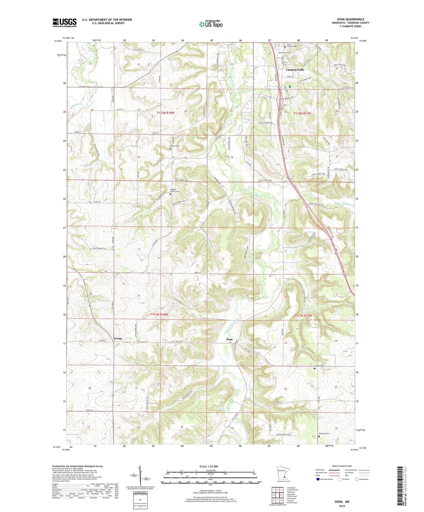
2019 topographic map quadrangle Sogn in the state of Minnesota. Scale: 1:24000. Based on the newly updated USGS 7.5' US Topo map series, this map is in the following counties: Goodhue. The map contains contour data, water features, and other items you are used to seeing on USGS maps, but also has updated roads and other features. This is the next generation of topographic maps. Printed on high-quality waterproof paper with UV fade-resistant inks.
Quads adjacent to this one:
West: Dennison
Northwest: Randolph
North: Cannon Falls
Northeast: Miesville
East: White Rock
Southeast: Wanamingo
South: Kenyon
Southwest: Nerstrand
Contains the following named places: Butler Creek, Cannon Mall, Edberg Landing Strip, Edisvold Church, Eidsvold Cemetery, George Lamberty Dam, Oxford Cemetery, Saint Anscars Cemetery, Sogn, Sogn Post Office, Sogn Valley Orchard, Township of Stanton, Township of Warsaw, Urland Cemetery, Urland Church, Wangen Prairie Cemetery, Wangen Prairie Church, Wangs, Wangs Post Office, ZIP Code: 55018