MyTopo
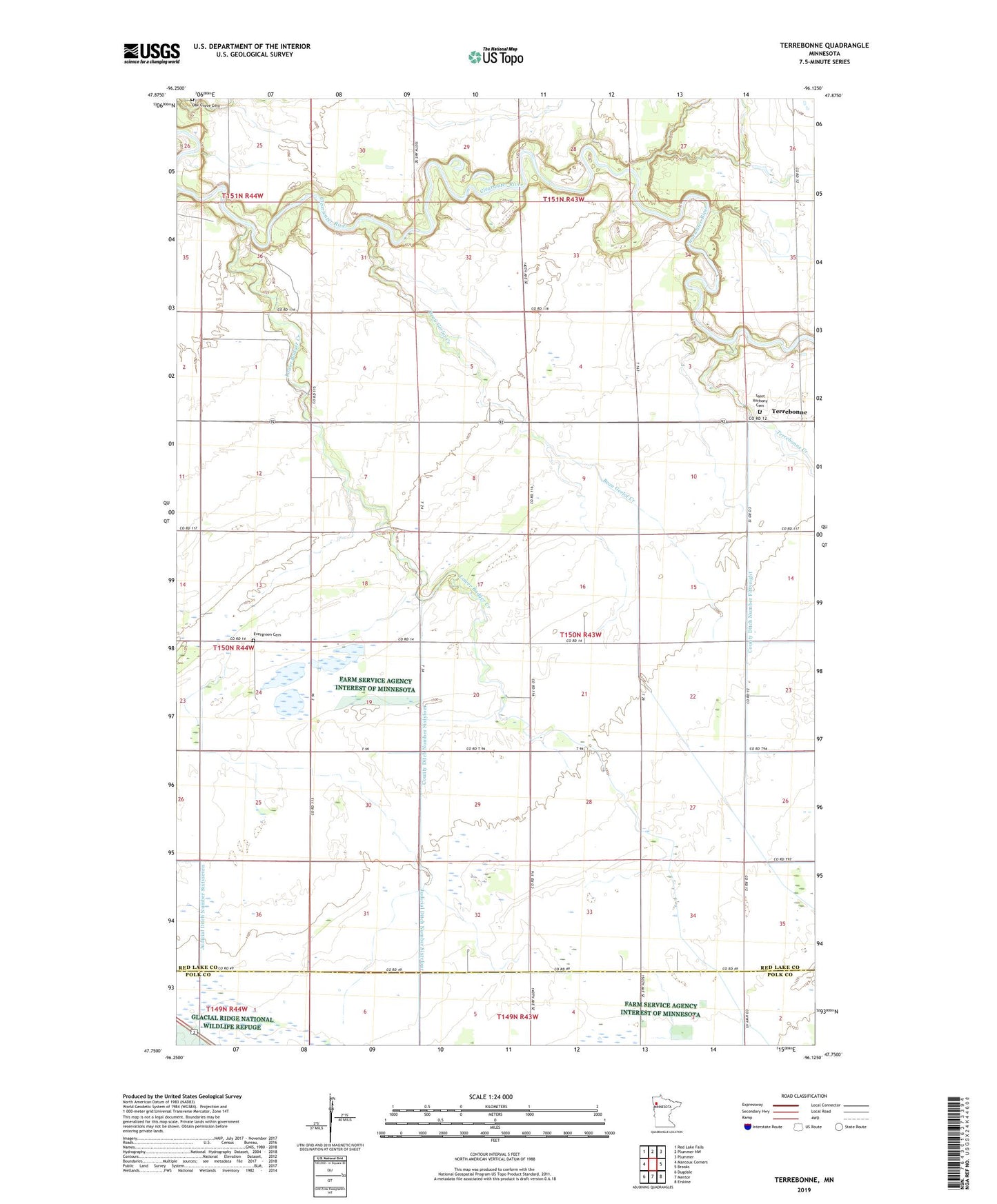
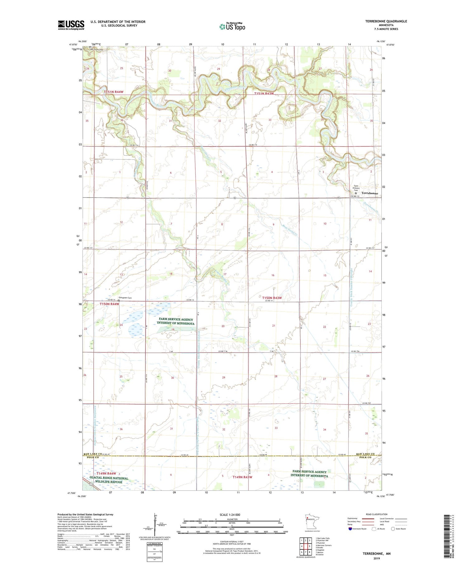
Terrebonne Minnesota US Topo Map
Couldn't load pickup availability
2019 topographic map quadrangle Terrebonne in the state of Minnesota. Scale: 1:24000. Based on the newly updated USGS 7.5' US Topo map series, this map is in the following counties: Red Lake, Polk. The map contains contour data, water features, and other items you are used to seeing on USGS maps, but also has updated roads and other features. This is the next generation of topographic maps. Printed on high-quality waterproof paper with UV fade-resistant inks.
Quads adjacent to this one:
West: Marcoux Corners
Northwest: Red Lake Falls
North: Plummer NW
Northeast: Plummer
East: Brooks
Southeast: Erskine
South: Mentor
Southwest: Dugdale
Contains the following named places: Badger Post Office, Beau Gerlot Creek, Beau Gerlot School, County Ditch Number Fiftyeight, County Ditch Number Seventeen, County Ditch Number Sixtyfour, County Ditch Number Three, County Ditch Number Two, Evergreen Cemetery, Lower Badger Creek, Miller Wildlife Dam, Oak Grove Cemetery, Saint Anthony Cemetery, Terrebonne, Terrebonne Creek, Township of Terrebonne