MyTopo
Brooks Minnesota US Topo Map
Couldn't load pickup availability
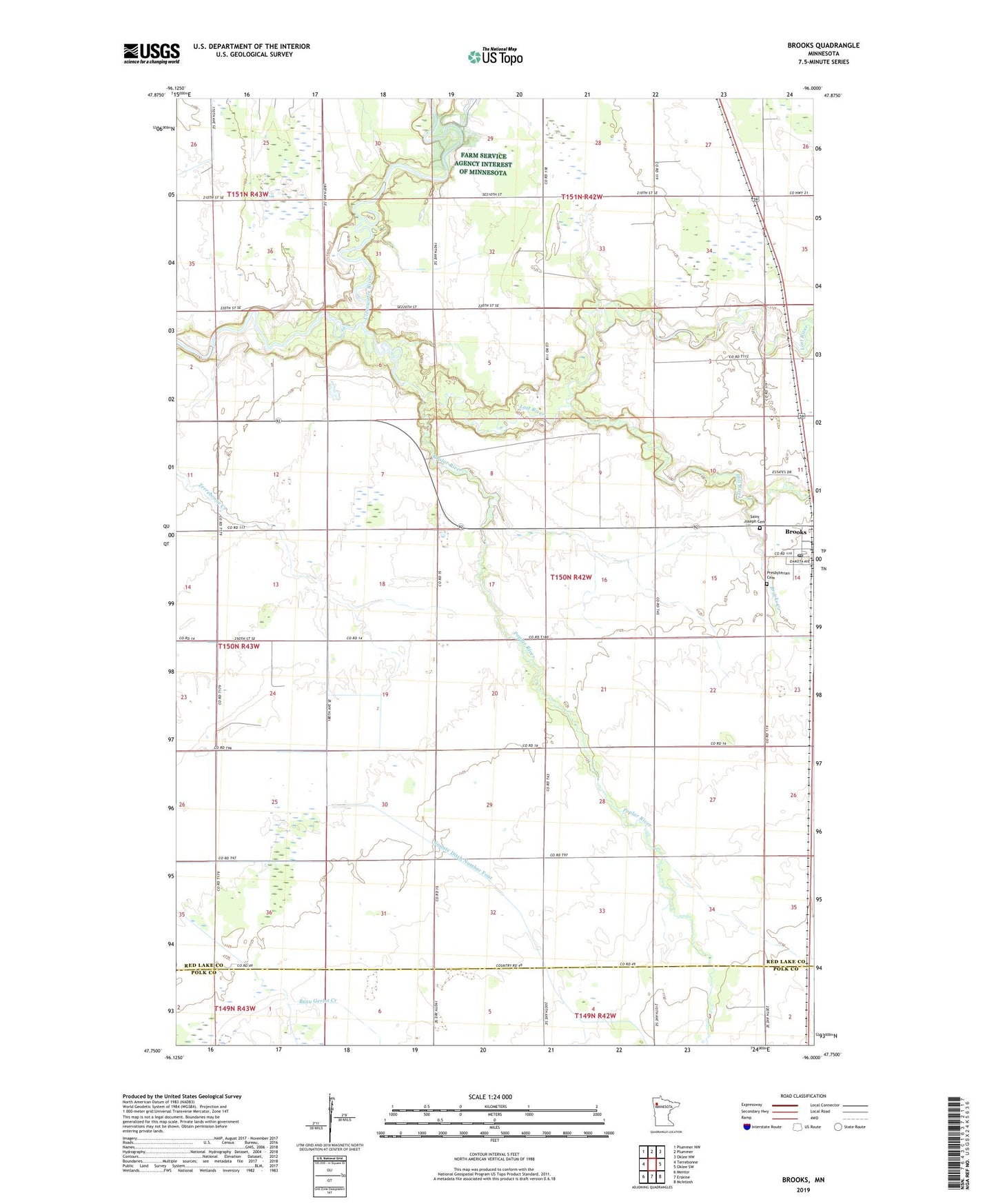
2022 topographic map quadrangle Brooks in the state of Minnesota. Scale: 1:24000. Based on the newly updated USGS 7.5' US Topo map series, this map is in the following counties: Red Lake, Polk. The map contains contour data, water features, and other items you are used to seeing on USGS maps, but also has updated roads and other features. This is the next generation of topographic maps. Printed on high-quality waterproof paper with UV fade-resistant inks.
Quads adjacent to this one:
West: Terrebonne
Northwest: Plummer NW
North: Plummer
Northeast: Oklee NW
East: Oklee SW
Southeast: McIntosh
South: Erskine
Southwest: Mentor
This map covers the same area as the classic USGS quad with code o47096g1.
Contains the following named places: Brooks, Brooks Creek, Brooks Parish, Brooks Post Office, City of Brooks, County Ditch Number Four, Hill River, Lost Post Office, Lost River, Poplar River, Presbyterian Cemetery, Red Lake County, Saint Joseph Cemetery, Terrebonne Post Office, Township of Poplar River, Upper Badger Creek