MyTopo
Toivola SW Minnesota US Topo Map
Couldn't load pickup availability
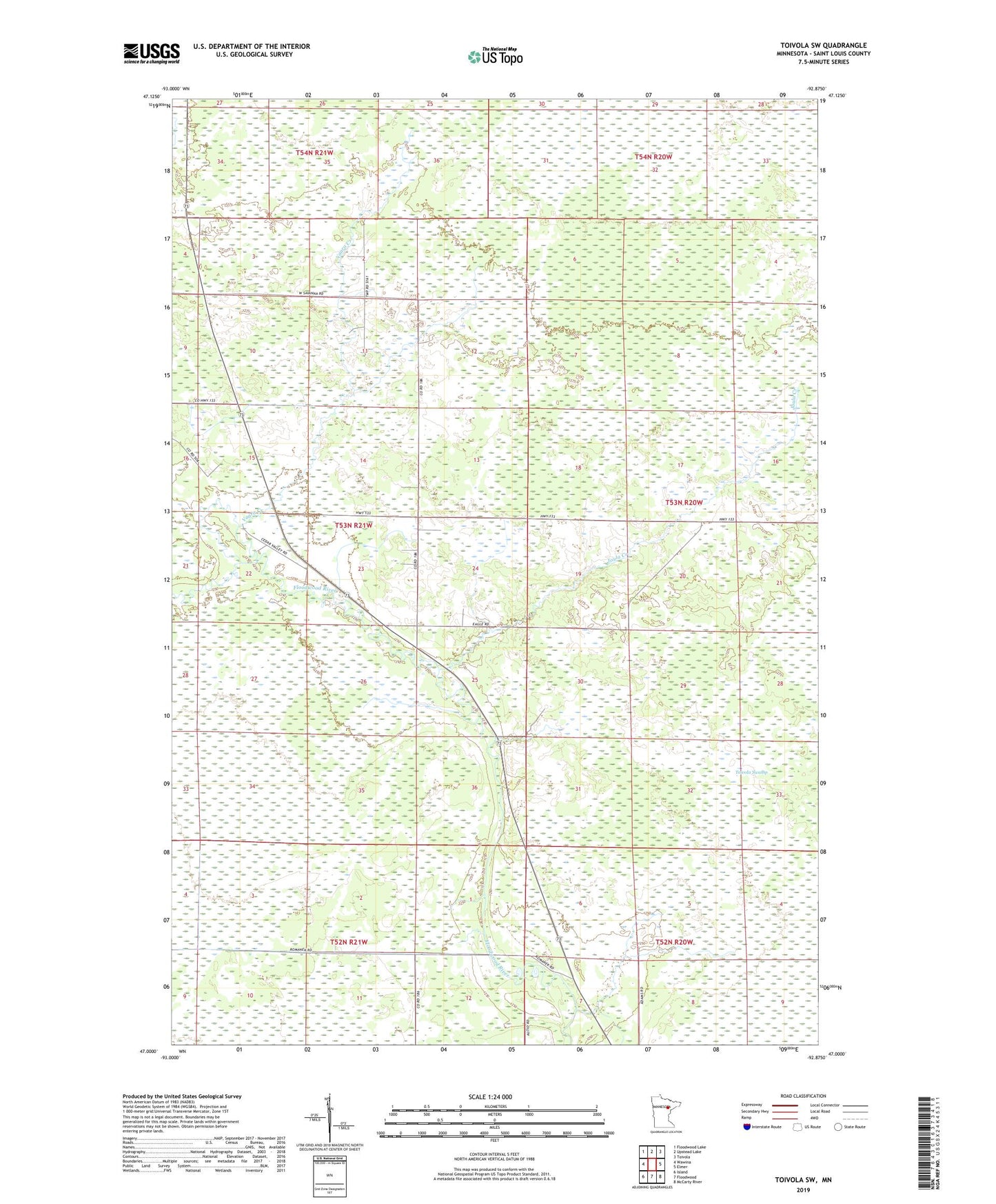
2022 topographic map quadrangle Toivola SW in the state of Minnesota. Scale: 1:24000. Based on the newly updated USGS 7.5' US Topo map series, this map is in the following counties: St. Louis. The map contains contour data, water features, and other items you are used to seeing on USGS maps, but also has updated roads and other features. This is the next generation of topographic maps. Printed on high-quality waterproof paper with UV fade-resistant inks.
Quads adjacent to this one:
West: Wawina
Northwest: Floodwood Lake
North: Upstead Lake
Northeast: Toivola
East: Elmer
Southeast: McCarty River
South: Floodwood
Southwest: Island
This map covers the same area as the classic USGS quad with code o47092a8.
Contains the following named places: Floodwood Wayside Park, Joula Creek, Township of Cedar Valley, Vaara Creek