MyTopo
Warman Minnesota US Topo Map
Couldn't load pickup availability
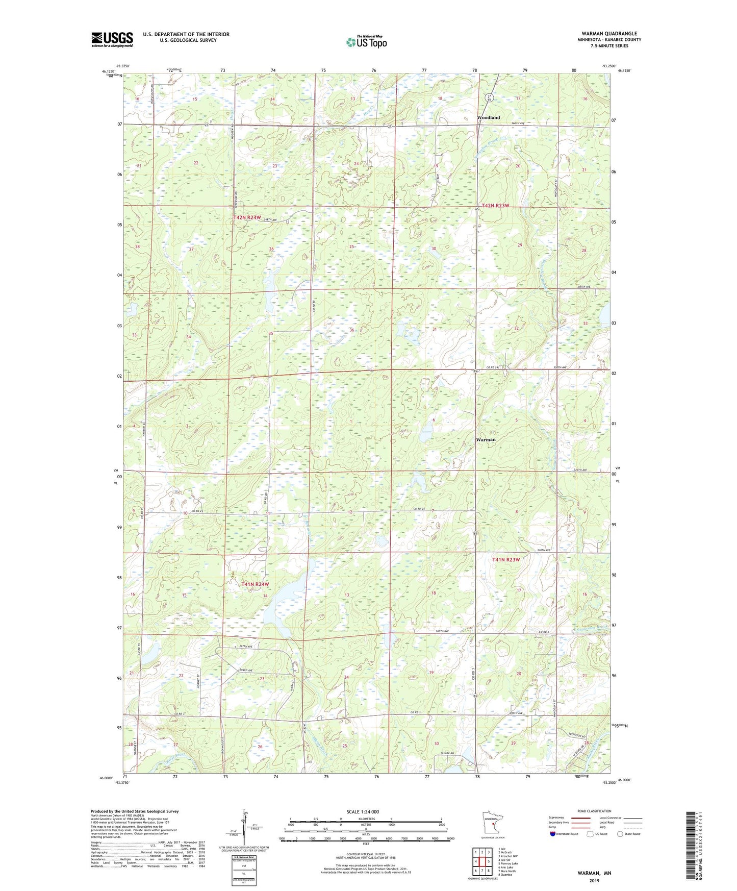
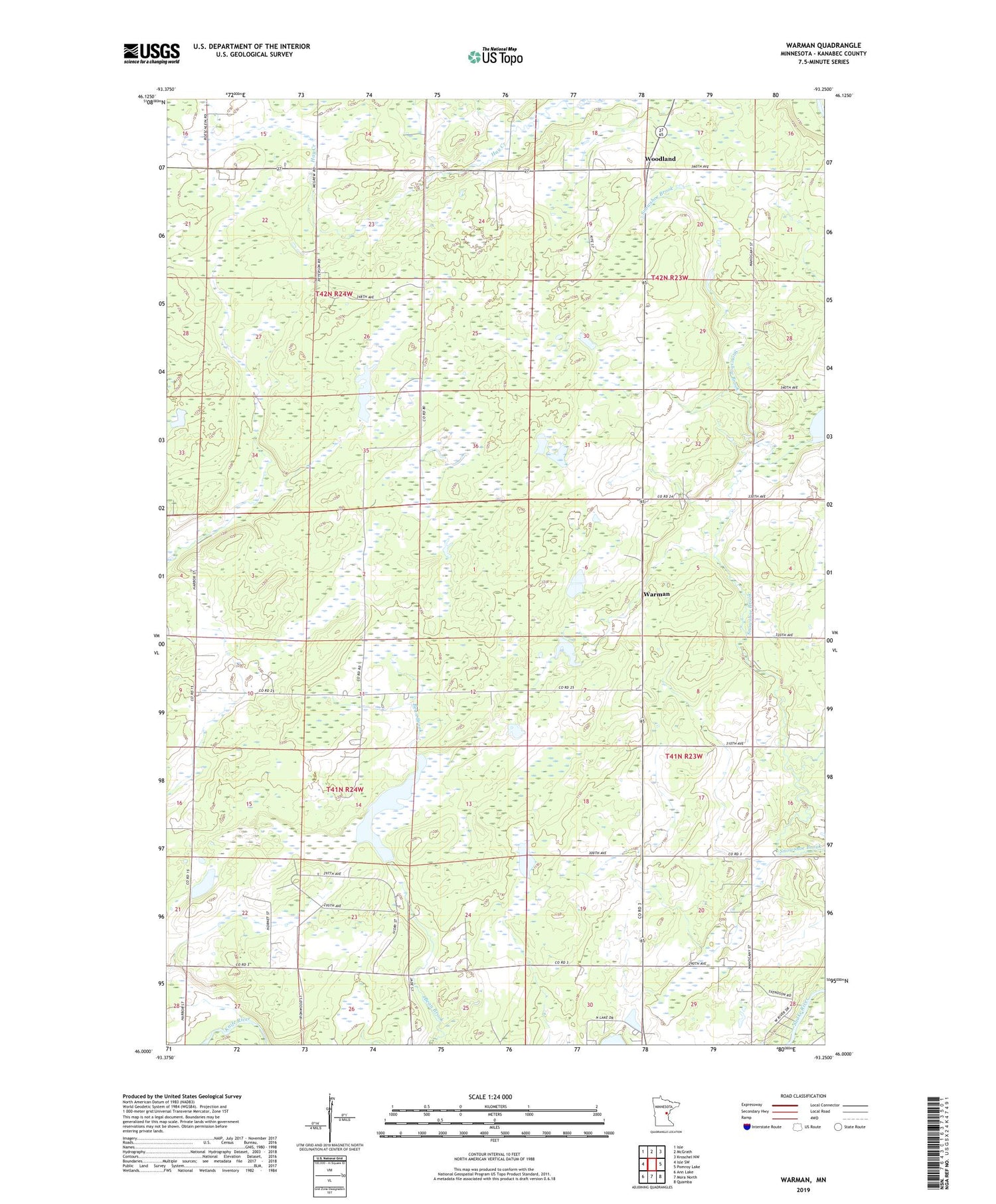
2019 topographic map quadrangle Warman in the state of Minnesota. Scale: 1:24000. Based on the newly updated USGS 7.5' US Topo map series, this map is in the following counties: Kanabec. The map contains contour data, water features, and other items you are used to seeing on USGS maps, but also has updated roads and other features. This is the next generation of topographic maps. Printed on high-quality waterproof paper with UV fade-resistant inks.
Quads adjacent to this one:
West: Isle SW
Northwest: Isle
North: McGrath
Northeast: Kroschel NW
East: Pomroy Lake
Southeast: Quamba
South: Mora North
Southwest: Ann Lake
Contains the following named places: Bachman Dam, Emanuel Bachman Dam, Forshier Pool, Forshier Pool Dam, Foshier Group Farm Pond Dam, Foshier Pond, Hay-Snake State Wildlife Management Area, Township of Hay Brook, Township of Hillman, Warman, Woodland