MyTopo
McGrath Minnesota US Topo Map
Couldn't load pickup availability
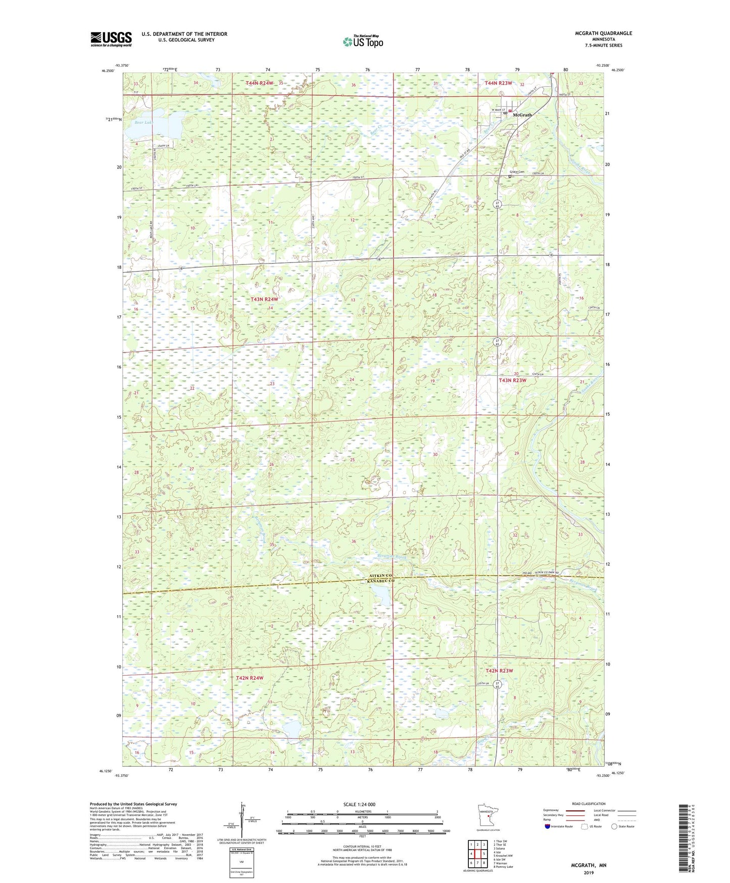
2022 topographic map quadrangle McGrath in the state of Minnesota. Scale: 1:24000. Based on the newly updated USGS 7.5' US Topo map series, this map is in the following counties: Aitkin, Kanabec. The map contains contour data, water features, and other items you are used to seeing on USGS maps, but also has updated roads and other features. This is the next generation of topographic maps. Printed on high-quality waterproof paper with UV fade-resistant inks.
Quads adjacent to this one:
West: Isle
Northwest: Thor SW
North: Thor SE
Northeast: Solana
East: Kroschel NW
Southeast: Pomroy Lake
South: Warman
Southwest: Isle SW
This map covers the same area as the classic USGS quad with code o46093b3.
Contains the following named places: Bear Creek, Bear Lake, City of McGrath, Grace Cemetery, Hay Creek, McGrath, McGrath Fire Department, McGrath Post Office, Our Lady of Fatima Church, Snake River Campground, Snake River County Park, Township of Idun, Zion Holden Lutheran Church, ZIP Code: 56342