MyTopo
Wheelers Point Minnesota US Topo Map
Couldn't load pickup availability
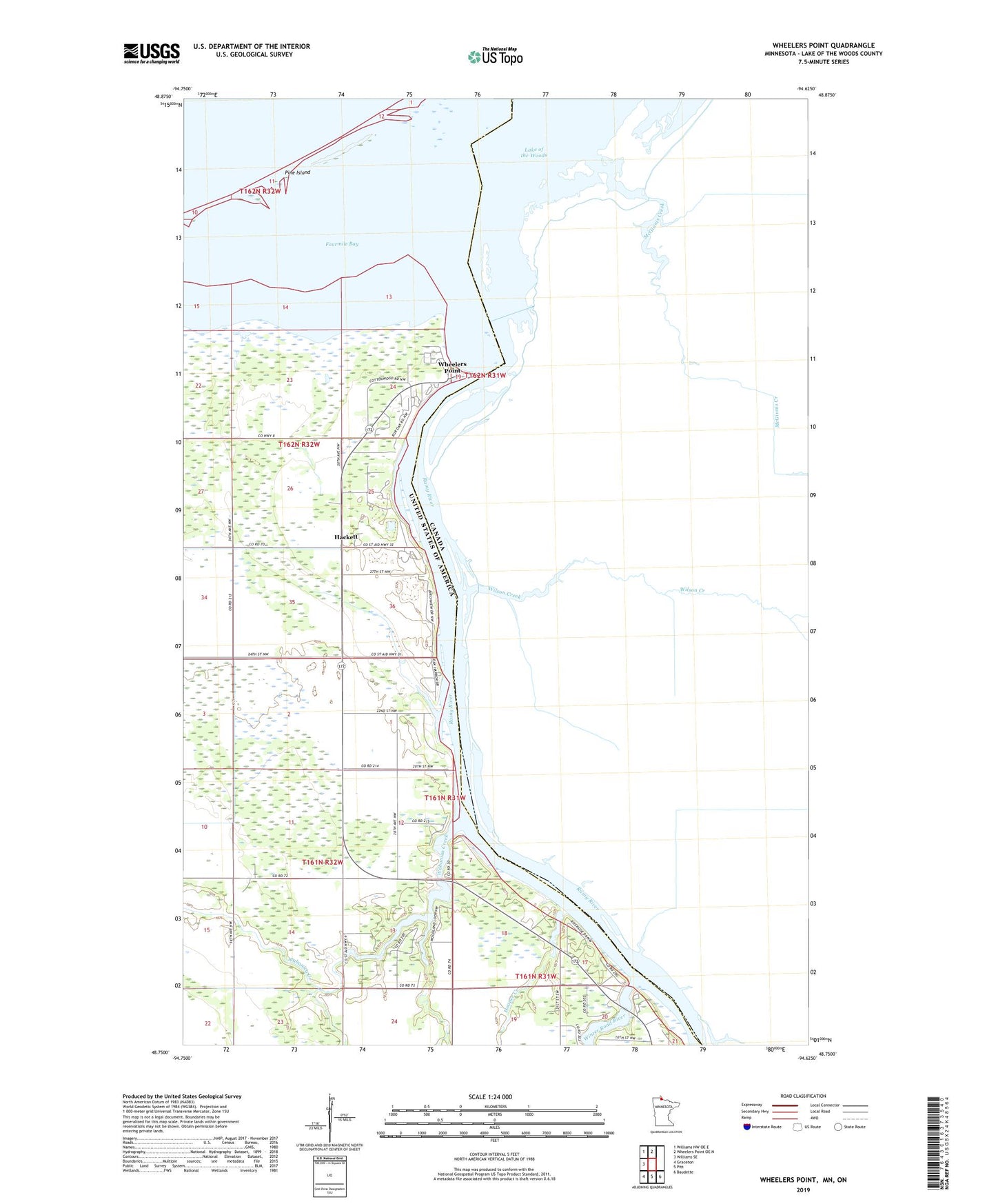
2022 topographic map quadrangle Wheelers Point in the state of Minnesota. Scale: 1:24000. Based on the newly updated USGS 7.5' US Topo map series, this map is in the following counties: Lake of the Woods. The map contains contour data, water features, and other items you are used to seeing on USGS maps, but also has updated roads and other features. This is the next generation of topographic maps. Printed on high-quality waterproof paper with UV fade-resistant inks.
Quads adjacent to this one:
West: Williams SE
Northwest: Williams NW OE E
North: Wheelers Point OE N
Southeast: Baudette
South: Pitt
Southwest: Graceton
This map covers the same area as the classic USGS quad with code o48094g6.
Contains the following named places: Baudette Flying Service Seaplane Base, Fourmile Bay, Hackett, Hackett Post Office, Hackett Station, Hooper Creek, Judicial Ditch Number Twentyeight, Lake of the Woods Bible Camp, Lake of the Woods Campground, Oak Harbor Golf and Tennis Club, Pine Island, Rainy River, Wabanica Creek, Wabanica Post Office, Wabanica Talc Church, Wheeler School, Wheelers Point, Winter Road River