
MyTopo
Whyte Minnesota US Topo Map
Couldn't load pickup availability
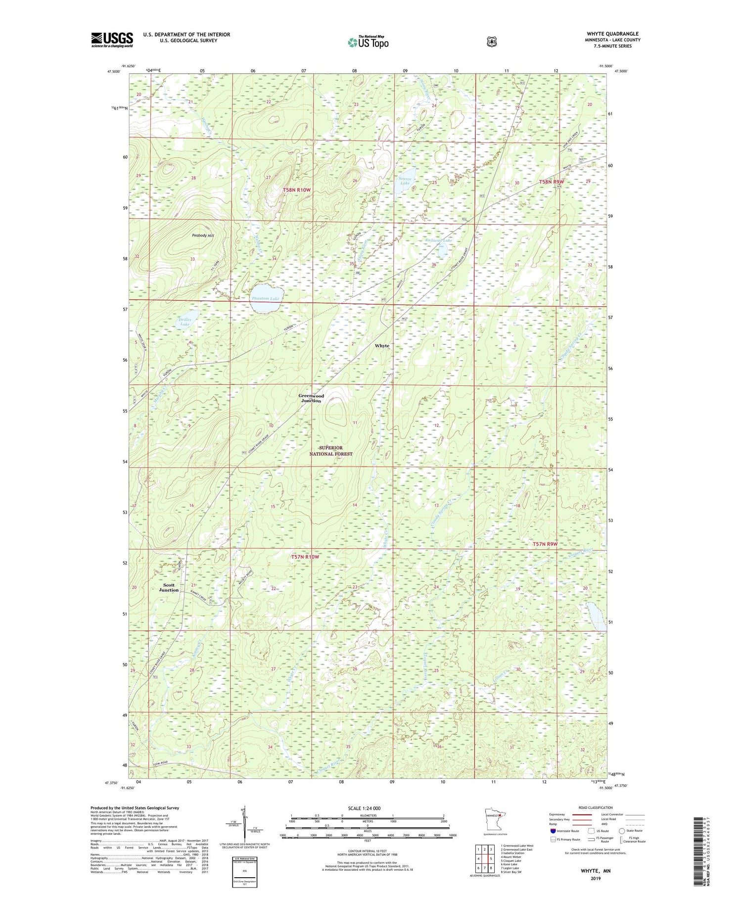
2019 topographic map quadrangle Whyte in the state of Minnesota. Scale: 1:24000. Based on the newly updated USGS 7.5' US Topo map series, this map is in the following counties: Lake. The map contains contour data, water features, and other items you are used to seeing on USGS maps, but also has updated roads and other features. This is the next generation of topographic maps. Printed on high-quality waterproof paper with UV fade-resistant inks.
Quads adjacent to this one:
West: Mount Weber
Northwest: Greenwood Lake West
North: Greenwood Lake East
Northeast: Isabella Station
East: Cloquet Lake
Southeast: Silver Bay SW
South: Legler Lake
Southwest: Kane Lake
Contains the following named places: Cloudy Spring Creek, Driller Lake, Greenwood Junction, Kinney Creek, Lillian Creek, Lillian Lake, Peabody Hill, Phantom Lake, Railroad Lake, Scott Junction, Source Lake, Whyte, Whyte Creek


