MyTopo
Banks Mississippi US Topo Map
Couldn't load pickup availability
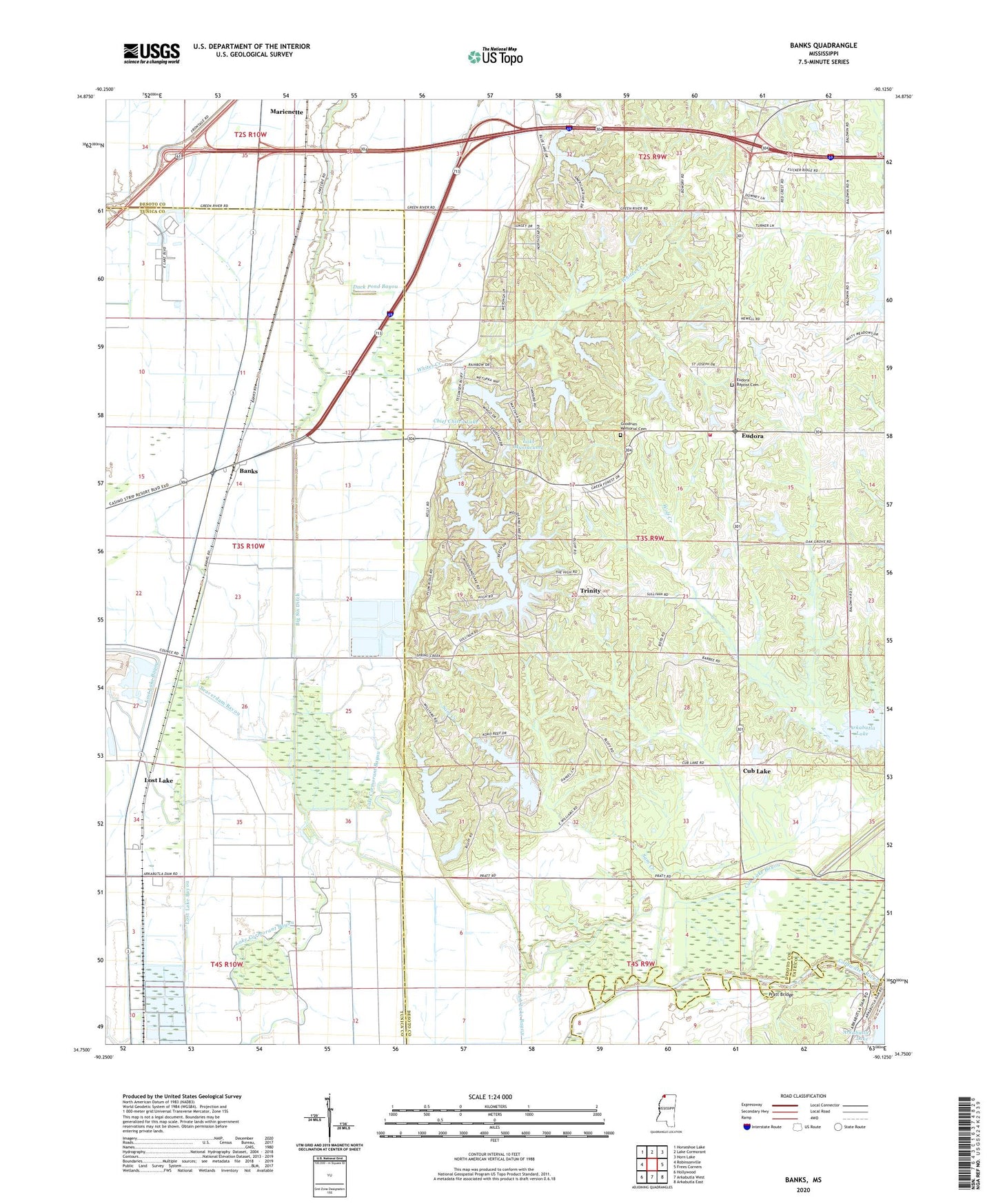
2020 topographic map quadrangle Banks in the state of Mississippi. Scale: 1:24000. Based on the newly updated USGS 7.5' US Topo map series, this map is in the following counties: DeSoto, Tunica, Tate. The map contains contour data, water features, and other items you are used to seeing on USGS maps, but also has updated roads and other features. This is the next generation of topographic maps. Printed on high-quality waterproof paper with UV fade-resistant inks.
Quads adjacent to this one:
West: Robinsonville
Northwest: Horseshoe Lake
North: Lake Cormorant
Northeast: Horn Lake
East: Frees Corners
Southeast: Arkabutla East
South: Arkabutla West
Southwest: Hollywood
Contains the following named places: Banks, Battle Ewing Catfish Ponds Dam, Beaverdam Bayou, Beaverdam Lake, Bennetts Landing, Big Six Ditch, Bullards Chapel Christian Methodist Episcopal Church, Bullock School, Camp Currier, Chickasaw Council Boy Scout Lake Dam, Chief Chisca Lake, Chief Chisca Lake Dam, Cub Lake, Delta Crest Subdivision Lake Dam, Duck Pond Bayou, Eudora, Eudora Baptist Church, Eudora Census Designated Place, Eudora Fire Department, Eudora Presbyterian Church, Good Hope Church, Green River, Harry Madision Pond Dam, Hugh Dancy Lake Dam, J A Earnheart Pond Dam, Koko Reef Lake, Lake Greenwood Leflore, Lake Mussacuma, Lake O' the Hills, Lake O' the Hills Dam, Lakeside Church, Lost Lake, Marienette, Neeley Chapel, Outlet Channel Public Use Area, Pleasant Grove Church, Pleasant Grove School, Pratt Bridge, R O Dees Pond Dam, Saint Lukes Church, Sam Creek, Trinity, Trinity Church, Union Hill Church, W T Hendricks Pond Dam, Whites Creek, Wilson Store, Woodland Lake, Woodland Lake Dam