MyTopo
Argyle Missouri US Topo Map
Couldn't load pickup availability
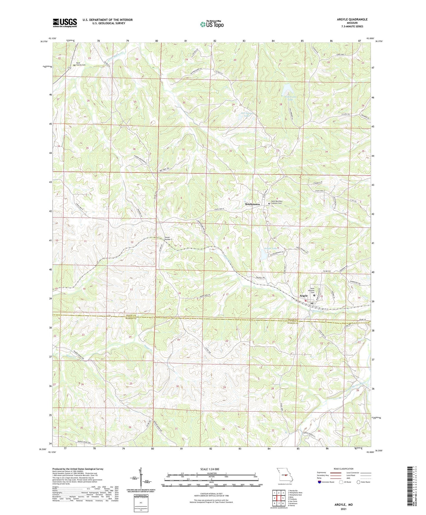
2021 topographic map quadrangle Argyle in the state of Missouri. Scale: 1:24000. Based on the newly updated USGS 7.5' US Topo map series, this map is in the following counties: Osage, Maries. The map contains contour data, water features, and other items you are used to seeing on USGS maps, but also has updated roads and other features. This is the next generation of topographic maps. Printed on high-quality waterproof paper with UV fade-resistant inks.
Quads adjacent to this one:
West: Meta
Northwest: Wardsville
North: Westphalia West
Northeast: Westphalia East
East: Freeburg
Southeast: Vienna
South: Brinktown
Southwest: Van Cleve
Contains the following named places: Argyle, Argyle Lake, Argyle Lake Dam, Argyle Volunteer Fire Department, JGF Farms Dam, JGF Farms Lake, Koeltztown, Little Maries River, Massman School, Saint Aloysius Catholic Church, Saint Aloysius Cemetery, Town of Argyle, Township of Jackson, Tunnel Number 2, Victory School, Willibrand Lake, Willibrand Lake Dam, ZIP Codes: 65001, 65048